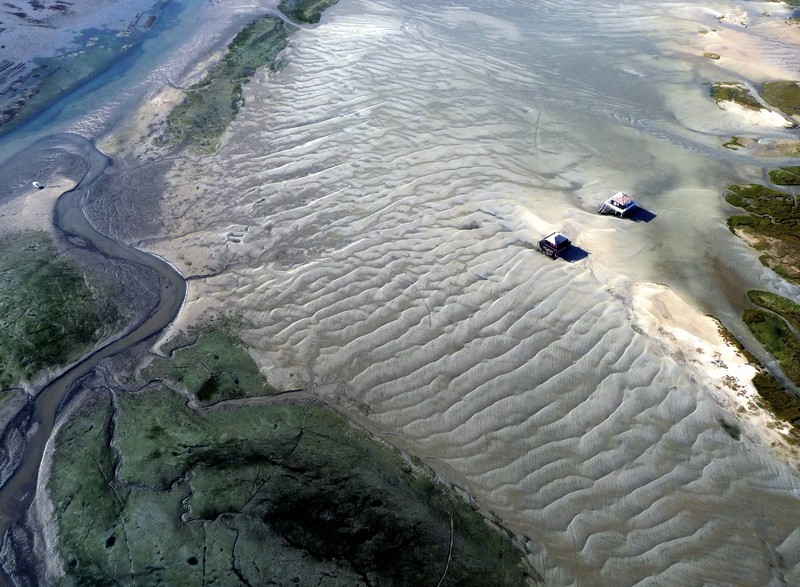
The Tchanquees Huts in the Arcachon Bay by Yann Vitasse, distributed by EGU under a Creative Commons licence.
The photo was taken at low tide, a time when the water covers an area of only 40 square kilometres. By comparison the bay takes up some 150 square kilometers at high tide, when the entire area to the left of the huts is covered by sea water.
The bird island, starting to the right of the huts, also varies in area being some 10 times larger at low tide. Geologists are still out on the origin of this structure. Some defend it is a former sandbar while others prefer the theory that it formed from the remains of a high dune shaped by the wind and the ocean.
Imaggeo is the online open access geosciences image repository of the European Geosciences Union. Every geoscientist who is an amateur photographer (but also other people) can submit their images to this repository. Being open access, it can be used by scientists for their presentations or publications as well as by the press. If you submit your images to imaggeo, you retain full rights of use, since they are licenced and distributed by EGU under a Creative Commons licence.
