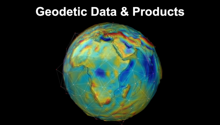
The services of the International Association of Geodesy (IAG) provide very important and valuable geodetic data, information, and data products that are increasingly relevant for Earth System research, including monitoring of global change phenomena and a wide range of diverse applications such as satellite navigation, surveying, mapping, engineering, geospatial information systems, and so on.
GGOS Portal – A central access point for geodetic data
Currently, it is difficult for many people to obtain an overview of all available geodetic products and data. The Global Geodetic Observing System (GGOS) of the IAG aims to fill this gap by developing the GGOS Portal (ggos.org/portal), which will serve as a unique search and access point for geodetic data and products (one-stop shop). Data and products will be described by detailed metadata and remain physically located at their originating data centers of each contributing IAG service and other data providers. The GGOS Portal will only synchronize the provided metadata and include it in its platform to ensure better discoverability. In the long term, the GGOS Portal can provide a set of tools for organized knowledge search, including visualization to support identification and selection of appropriate resources (information, data, products).
In general, geodetic data portals are a dime a dozen. However, the GGOS Portal will be much more than just a data portal for geodetic data from the IAG Services. The combination of the easy understandable descriptions of products and observation techniques with this comprehensive source of detailed geodetic metadata makes the future GGOS Portal unique.
With this future platform and all other outreach initiatives, GGOS will help to increase the visibility of geodetic data for scientific research and raise awareness of Geodesy and its useful products to other disciplines and society.
 Community survey – Please participate
To get an overview of the current availability of data products and their metadata, GGOS conducts a survey within the geodetic and geoscience community. This survey also inquires the opinions of geodetic data users on data availability and visibility, as well as desired requirements for a comprehensive and user-friendly GGOS Portal. Please take 10 to 15 minutes and participate in this survey until end of April 2023 to help us developing the GGOS Portal: ggos.org/portal/survey/
What are geodetic metadata?
In general, metadata are data that provide information about the actual data, but not its content. Metadata of geodetic data and products can contain several types of information. That can consist of general descriptions like title, data format, version, date, link to the data, contact person, etc. and of detailed descriptions like antenna type, receiver type, analyzing method, used models, etc.
To make metadata comparable it is beneficial to use common metadata standards (schemas) such as a simple Sitelog, GeodesyML, ISO19115, Dublin Core Format, etc.
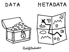
What is metadata? (by Piotr Kononow – dataedo.com)
Geodetic metadata can be made available in the internet via various ways:
- That could be a simple website where the geodetic data are described. In this case it is favorable to provide the metadata in a machine-readable format (e.g. XML or JSON). This is used, for example, for DOI metadata or GeodesyML.
- Another way is to provide a metadata file (e.g. *.txt, *.log, Sitelog, …) on a server which can be accessed via a (S)FTP or HTTP(S) request.
- Provision of metadata by standardized Interfaces or API is also possible. There are several standards in use (e.g. OAI-PMH interface, RESTful interface, OGC web feature service, …). This allows easy synchronization (harvesting) of metadata for metadata portals like the future GGOS Portal.
![]() What are DOIs for geodetic data?
What are DOIs for geodetic data?
To make geodetic data and products FAIR (Findable, Accessible, Interoperable and Reusable) it is advantageous to assign DOI (Digital Object Identifier) for them. This allows citability and scientific recognition.
Looking more closely at DOIs for geodetic data, they consist of metadata provided in a standardized metadata schema and are available on a website (landing page) that is also machine-readable (e.g., XML format). If you want to read more about DOI’s, please visit the website of the GGOS Working Group on DOI’s for geodetic Data Sets.