G
Geodesy

iag

Geodesy Cartoon Competition – Turn Science into Smiles
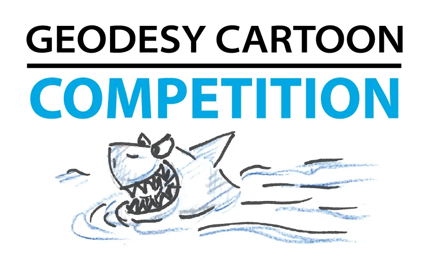
Geodesy Cartoon Competition – Turn Science into Smiles

Geodesy is the science of measuring the Earth’s shape, gravity field, and rotation. What if we could make it exciting, fun, and easy for everyone to understand? That’s exactly why the International Association of Geodesy (IAG) and its Global Geodetic Observing System (GGOS) launched the Geodesy Cartoons initiative: to bring geodesy closer to the public …[Read More]

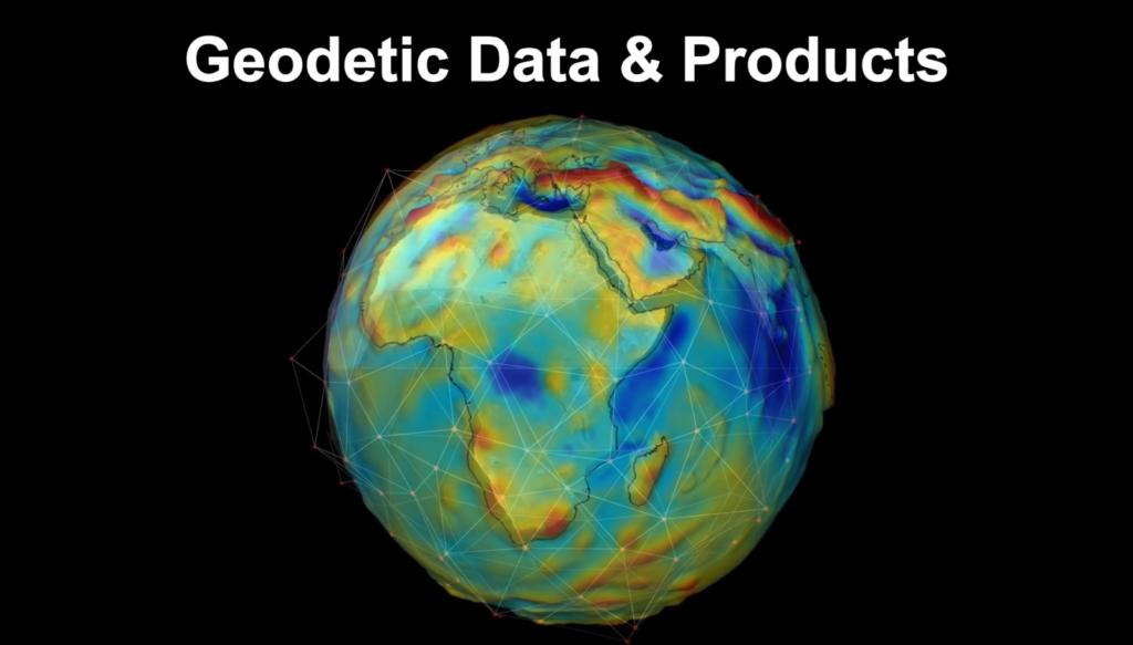
Geodetic Data and Products – Idea of a Central Access Point

Geodetic Data and Products – Idea of a Central Access Point

  The services of the International Association of Geodesy (IAG) provide very important and valuable geodetic data, information, and data products that are increasingly relevant for Earth System research, including monitoring of global change phenomena and a wide range of diverse applications such as satellite navigation, surveying, mapping, engineering, geospatial information systems, and so on. …[Read More]

Notes from a hybrid conference

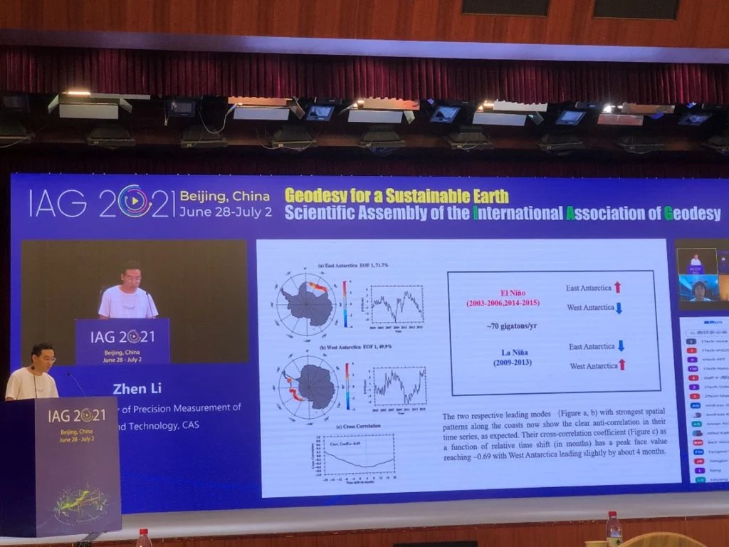
Zhen Li during his talk

With the COVID pandemic still ongoing, many conferences have been taking place online or have opted for a hybrid format, with combined on-site and online program parts. To many of us this still a rather new experience, so we decided to share some of the impressions we gathered in the hybrid meetings we attended so …[Read More]