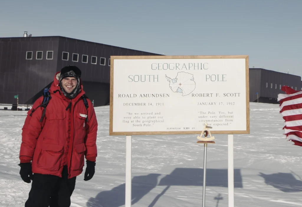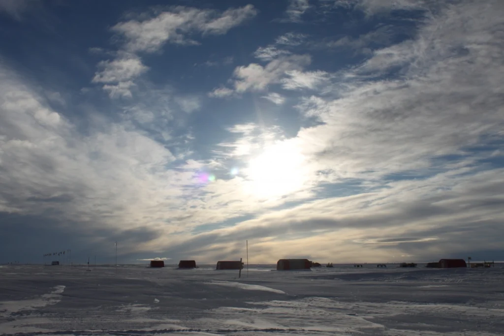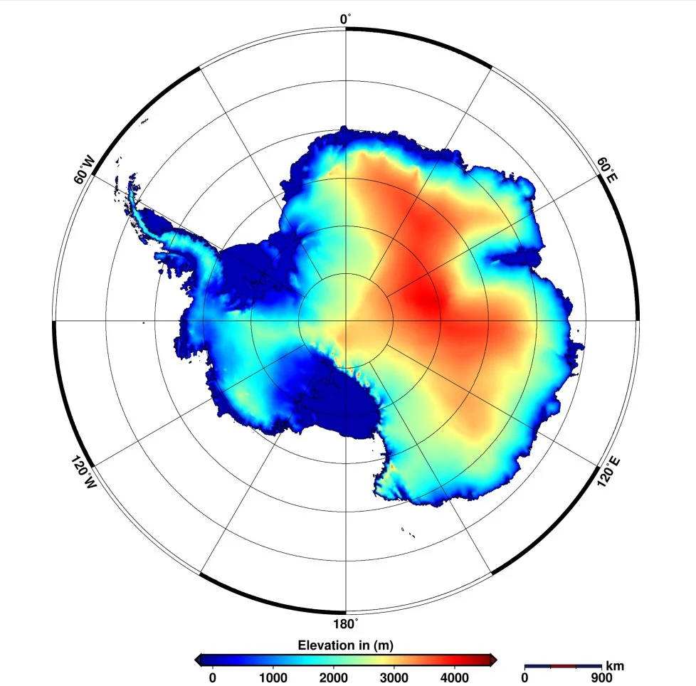
Mapping Earth’s most remote continent presents a number of unique challenges. Antarctic cartographers and scientists are using some of the most advanced mapping technologies available to get a clearer picture of the continent. We asked Brad Herried, a Cartographer and Web Developer at the Polar Geospatial Center at the University of Minnesota, a few questions …[Read More]
ice sheet
Image of the Week – A new way to compute ice dynamic changes
Up to now, ice sheet mass changes due to ice dynamics have been computed from satellite observations that suffer from sparse coverage in time and space. A new method allows us to compute these changes on much wider temporal and spatial scales. But how does this method work? Let us discover the different steps by …[Read More]
Image of the Week – Summer is fieldwork season at EastGRIP!
As the days get very long, summer is a popular season for conducting fieldwork at high latitudes. At the North East Greenland Ice Stream (NEGIS), the East Greenland Ice-core Project (EastGRIP) is ongoing. Several scientists are busy drilling an ice core through the ice sheet to the very bottom, in continuation to previous years (see …[Read More]
Image of the Week — High altitudes slow down Antarctica’s warming
When it comes to climate change, the Arctic and the Antarctic are poles apart. At the north of the planet, temperatures are increasing twice as fast as in the rest of the globe, while warming in Antarctica has been milder. A recent study published in Earth System Dynamics shows that the high elevation of Antarctica …[Read More]
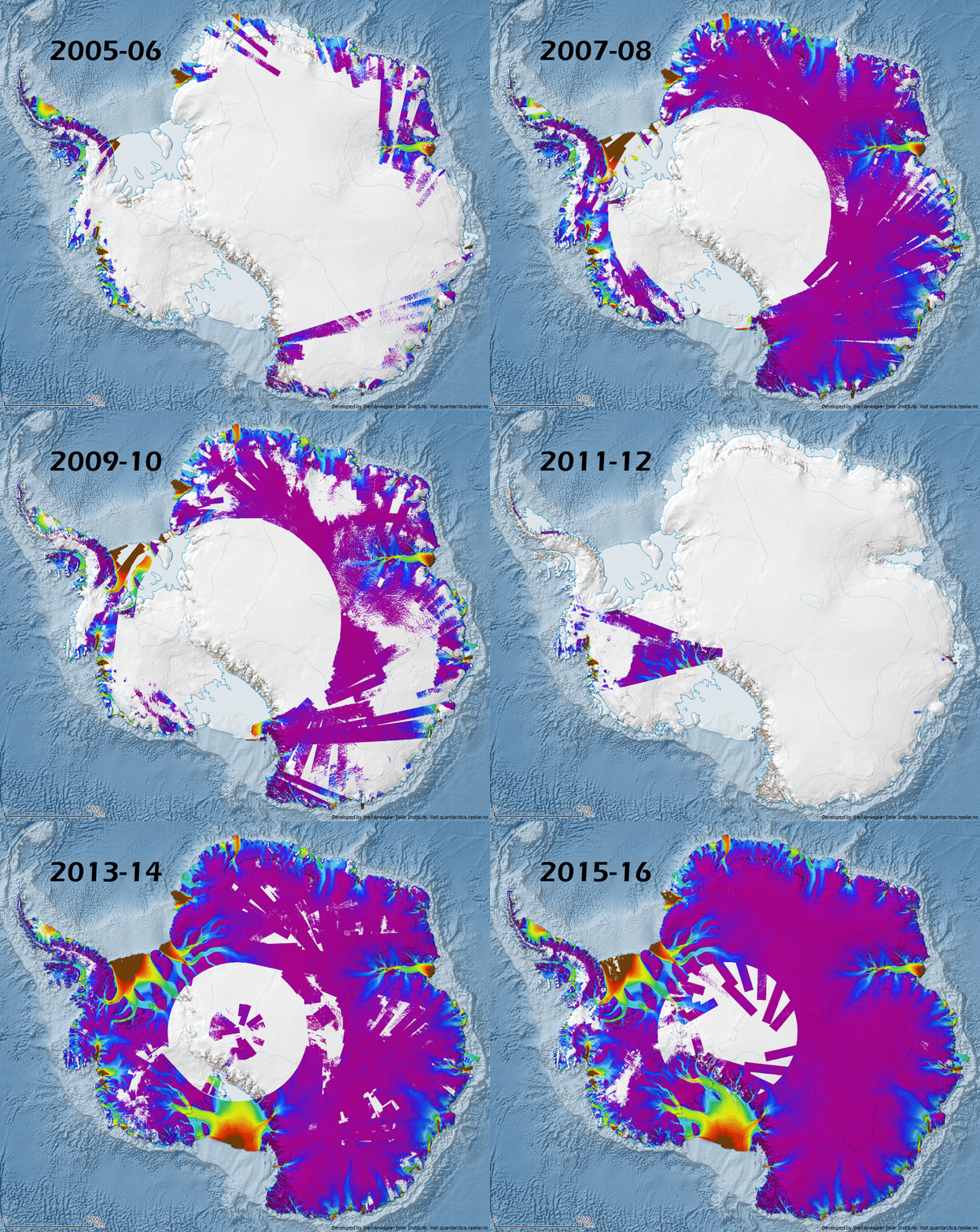
Image of the Week – Antarctica’s Flowing Ice, Year by Year
Today’s Image of the Week shows annual ice flow velocity mosaics at 1km resolution from 2005 to 2016 for the Antarctic ice sheet. These mosaics, along with similar data for Greenland (see Fig.2), were published by Mouginot et al, (2017) last month as part of NASA’s MEaSUREs (Making Earth System Data Records for Use in …[Read More]
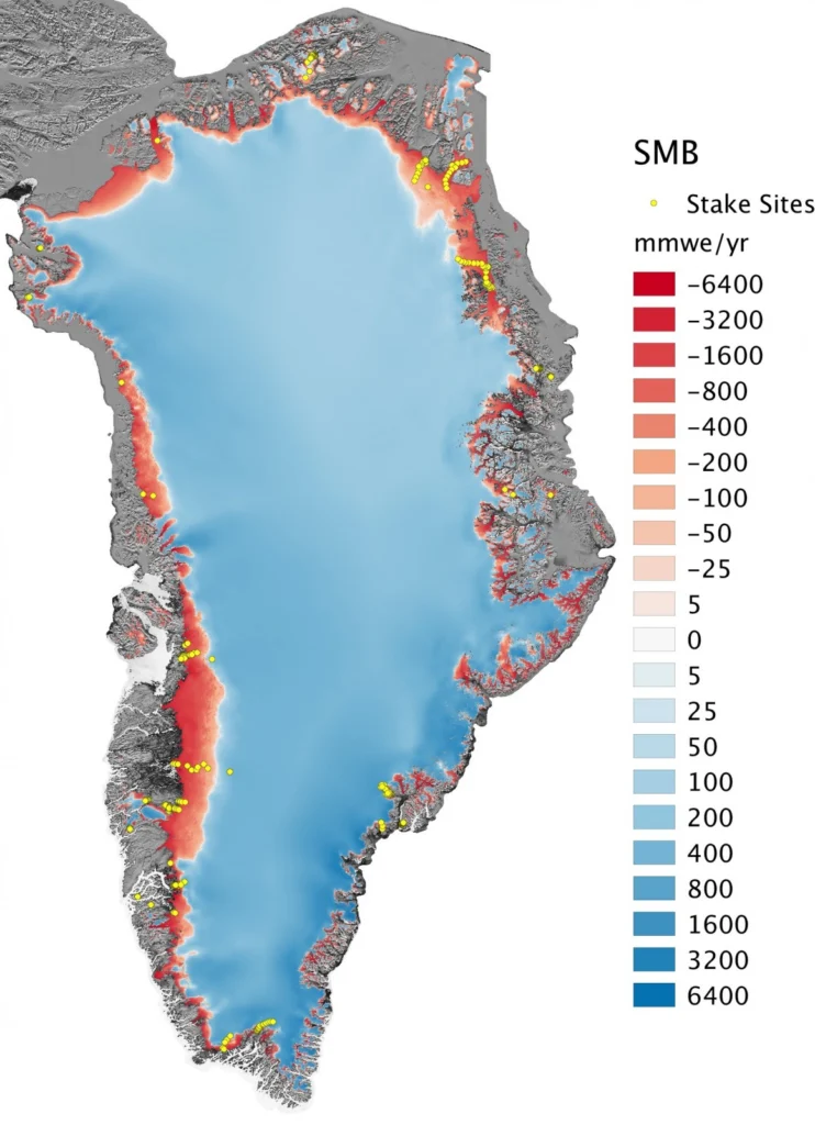
Image of the Week – A high-resolution picture of Greenland’s surface mass balance
The Greenland ice sheet – the world’s second largest ice mass – stores about one tenth of the Earth’s freshwater. If totally melted, this would rise global sea level by 7.4 m, affecting low-lying regions worldwide. Since the 1990s, the warmer atmosphere and ocean have increased the melt at the surface of the Greenland ice …[Read More]
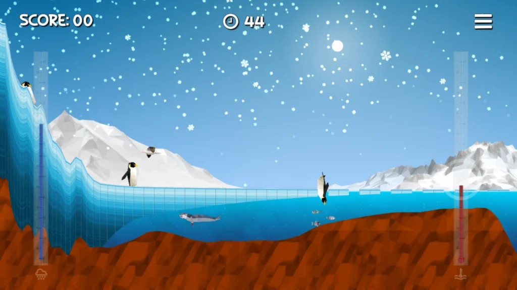
Image of The Week – Ice Flows!
Portraying ice sheets and shelves to the general public can be tricky. They are in remote locations, meaning the majority of people will never have seen them. They also change over timescales that are often hard to represent without showing dramatic images of more unusual events such as the collapse of the Larsen B Ice Shelf. …[Read More]
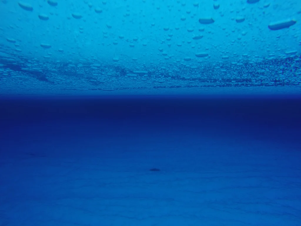
Image of the Week — Hidden lakes in East Antarctica !
Who would have guessed that such a beautiful picture could get you interviewed for the national news?! Certainly not me! And yet, the photo of this englacial lake (a lake trapped within the ice in Antarctica), or rather science behind it, managed to capture the media attention and brought me, one of the happy co-author …[Read More]
Polar Exploration: Perseverance and Pea Sausages
Born on this Day On this day in 1872 – 145 years ago –Ludvig Mylius-Erichsen, Danish author and polar explorer, was born. He led two expeditions to Greenland and successfully mapped the then unknown northeastern part of the country. The second expedition was his last. The expedition was surprised by an early onset of spring …[Read More]
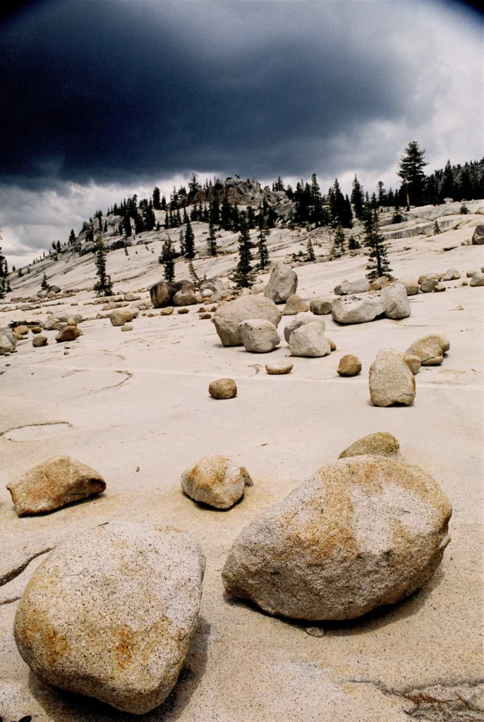
Image of the Week – It’s all a bit erratic in Yosemite!
When you think of California, with its sun-soaked beaches and Hollywood glamour, glaciers may not be the first thing that spring to mind – even for ice nerds like us. However, Yosemite National Park in California’s Sierra Nevada is famous for its dramatic landscape, which was created by glacial action. With our latest image of …[Read More]