Imja Lake is one of the largest glacial lakes in the Nepal Himalaya and has received a great deal of attention in the last couple decades due to the potential for a glacial lake outburst flood. In response to these concerns, the UNDP has funded a project that is currently lowering the level of the lake by 3 m to reduce the flood hazard. The aim of our research efforts is to understand how quickly ...[Read More]
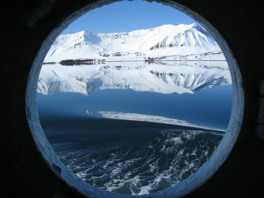
Fieldwork at 5,000 meters in altitude
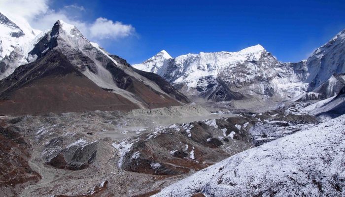
Field Site, Imja Lake, in November 2015 [Credit: D. Rounce]

