CR
Cryospheric Sciences

EGU Guest blogger

This guest post was contributed by a scientist, student or a professional in the Earth, planetary or space sciences. The EGU blogs welcome guest contributions, so if you've got a great idea for a post or fancy trying your hand at science communication, please contact the blog editor or the EGU Communications Officer to pitch your idea.

Image of the Week – Antarctica Day
Image of the Week – Antarctica Day

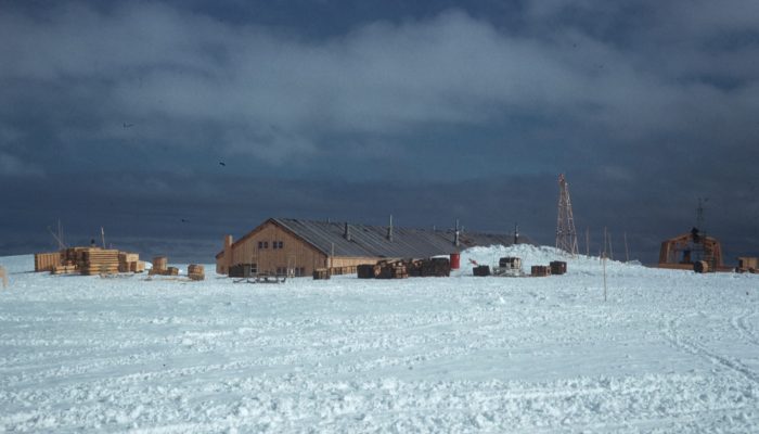
Today, 1st December 2017, marks the 58th anniversary of the signing of the Antarctic Treaty in 1959. The Antarctic Treaty was motivated by international collaboration in Antarctica in the International Geophysical Year (IGY), 1957-1958. During the IGY over 50 new bases were established in and around Antarctica by 12 nations- including this one at Halley Bay which was maintained for over a decade b ...[Read More]

Image of the Week – Does size really matter? A story of ice floes and power laws

The retreating Arctic sea ice is one of the most well-known facets of Climate Change. Images of polar bears desperately swimming through polar seas searching for somewhere to rest and feed resonate strongly with the public. Beyond these headlines however, the Arctic Ocean is displaying a rapid transition from having mostly permanent ice cover to a more seasonal cover. The Marginal Ice Zone As both ...[Read More]

Image of the Week – Ice Stupas: a solution for Himalayan water shortage?

Image of the Week – Ice Stupas: a solution for Himalayan water shortage?

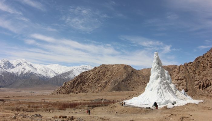
As the world searches for practical innovations that can mitigate the impact of climate change, traditional methods of environmental management can offer inspiration. In Hindu Kush and Karakoram region, local people have been growing, or grafting, glaciers for at least 100 years. Legend has it that artificial glaciers were grown in mountain passes as early as the twelfth century to block the advan ...[Read More]

Back to the Front – Larsen C Ice Shelf in the Aftermath of Iceberg A68!

Back to the Front – Larsen C Ice Shelf in the Aftermath of Iceberg A68!

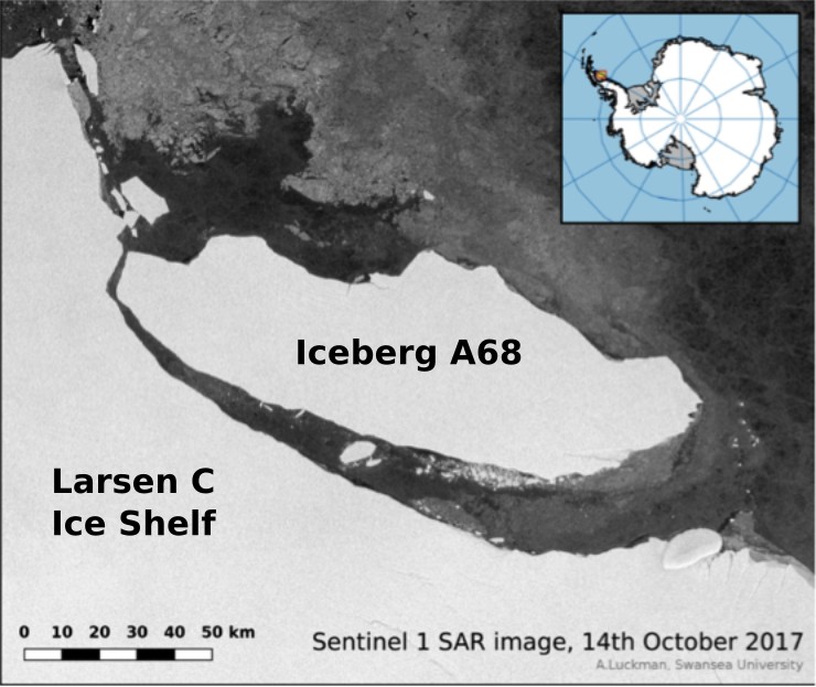
Much of the Antarctic continent is fringed by ice shelves. An ice shelf is the floating extension of a terrestrial ice mass and, as such, is an important ‘middleman’ that regulates the delivery of ice from land into the ocean: for much of Antarctica, ice that passes from land into the sea does so via ice shelves. I’ve been conducting geophysical experiments on ice for over a decade, using mostly s ...[Read More]

Image of the Week – Sea-ice dynamics for beginners

Image of the Week – Sea-ice dynamics for beginners

When I ask school children or people who only know about sea ice from remote references in the newspapers: ‘How thick do you think is the Arctic sea ice?’, I often get surprising answers: ’10 meters? No, it must be thicker – 100 meters!’. It seems like sea ice, often depicted as a uniform white cover around the North Pole and as a key element in accelerated warming of the Polar Regions, imposes a ...[Read More]

Image of the Week – Of comparing oranges and apples in the sea-ice context

Image of the Week – Of comparing oranges and apples in the sea-ice context

In the last fifty years, models and observations have enabled us to better understand sea-ice processes. On the one hand, global climate models have been developed, accounting for the sea-ice component in the climate system. On the other hand, satellite instruments have been developed to monitor the “real” sea-ice evolution. These satellite observations are often used to evaluate climate models. H ...[Read More]

Image of the Week – Karthaus Summer School 2017

Glaciologists often undertake fieldwork in remote and difficult to access locations, which perhaps explains why they happily travel to similar locations to attend meetings and workshops. The Karthaus Summer School, which focuses on Ice Sheets and Glaciers in the Climate System, is no exception. The idyllic village of Karthaus, located in the narrow Schnalstal valley in Südtirol (Italy), has been h ...[Read More]

Mapping the bottom of the world — an Interview with Brad Herried, Antarctic Cartographer

Mapping the bottom of the world — an Interview with Brad Herried, Antarctic Cartographer

Mapping Earth’s most remote continent presents a number of unique challenges. Antarctic cartographers and scientists are using some of the most advanced mapping technologies available to get a clearer picture of the continent. We asked Brad Herried, a Cartographer and Web Developer at the Polar Geospatial Center at the University of Minnesota, a few questions about what it’s like to do this unique ...[Read More]

Image of the Week: Petermann Glacier

Our image of the week shows the area around the calving front of Petermann Glacier through the spring, summer, and autumn of 2016. Petermann Glacier, in northern Greenland, is one of the largest glaciers of the Greenland Ice Sheet. It terminates in the huge Petermann Fjord, more than 10 km wide, surrounded by 1000 m cliffs and plunging to more than 1100 m below sea level at its deepest point. In 2 ...[Read More]

Image of the Week – Powering up the ground in the search for ice

  In an earlier post, we talked briefly about below-ground ice and the consequences of its disappearing. However, to estimate the consequences of disappearing ground ice, one has to know that there actually is ice in the area of study. How much ice is there – and where is it? As the name suggests, below-ground ice is not so easy to spot with the naked eye. Using geophysical methods, however, ...[Read More]