The cold icy surface of a glacier doesn’t seem like an environment where life should exist, but if you look closely you may be surprised! Glaciers are not only locations studied by glaciologists and physical scientists, but are also of great interest to microbiologists and ecologists. In fact, understanding the interaction between ice and microbiology is essential to fully understand the gla ...[Read More]
Image of the week – Micro-organisms on Ice!
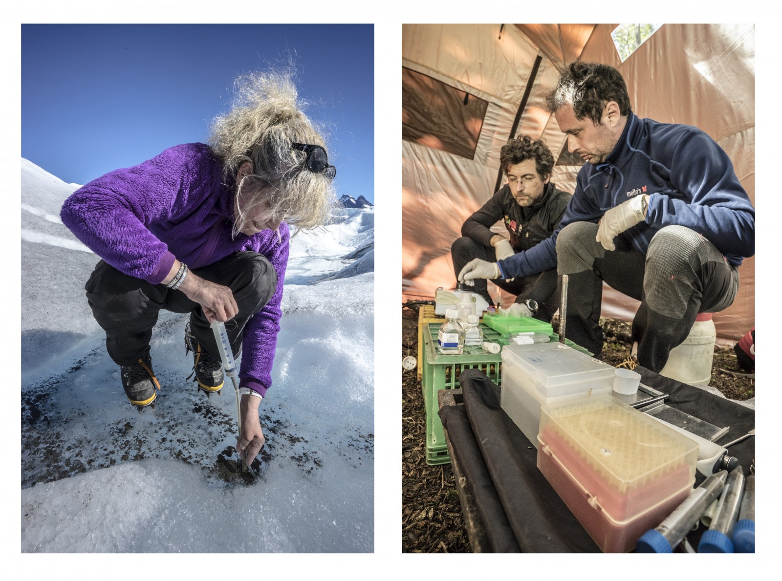
Figure 1: Investigating micro-organisms on Perito Moreno. Left – Sampling on the glacier surface inside a cryoconite hole.
Right – Scientists from the University Bicocca of Milan at work performing analysis in the temporary laboratory set up in Buscaini Refugee (shelter) [Credit: Alessio Romeo – La Venta Esplorazioni Geografiche]