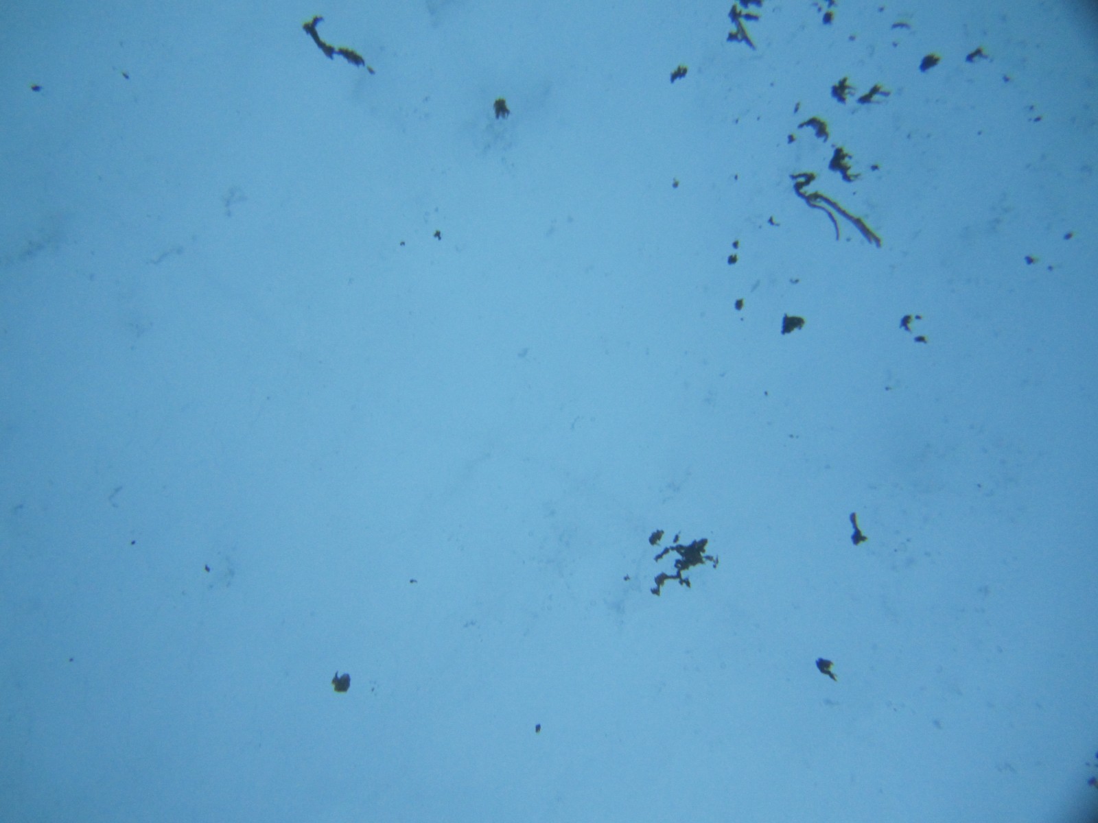
Aggregates of sea ice algae seen from the ocean below by the ROV [Credit: Katlein et al. (2017)].
This is sea ice… seen from the ocean
Traditionally, only divers (and maybe seals, fish, krill, belugas, etc.) have been able to see what is happening just under the sea ice, in the ocean. That is no routine activity – I personally have not been in a fieldwork campaign involving a diver. It is extremely dangerous to dive in such cold waters, and the diver is limited to a small area around the entry hole, which might refreeze really fast. The most common method is to drill small holes from the top of the sea ice to the ice-ocean interface at specific locations instead, and collect the bottom of the resulting ice core. There are obvious problems with this method:
- drilling takes a lot of time and effort;
- you cannot drill everywhere, since it becomes unsafe if the ice is too thin (you still have to be standing on the ice to do the drilling);
- the location of your core has to be representative of what you are sampling.
This is why researchers are trying to more often use sea robots, which can take measurements over a large area while the researchers are safe somewhere else. But most robots that are now used to monitor the ocean are not adapted to ice-covered regions, and the few that are require a lot of specifically trained technicians to operate them and/or can only perform very specific tasks.
Our Image of the Week was taken by a new robot, “The Beast”, whose specificities are described in the recently published Katlein et al. (2017). In brief, it is ice-resistant, small, very manoeuvrable, can be operated by only one or two people from a cosy hut on the ice, and contains any possible sensor you can think of (even a small water bottle for sampling, and a net). It belongs to the family of Remotely Operated Vehicles (ROV), which means that it is connected to the operator by a cable – if anything goes wrong under the ice, just pull on the leash!
And thanks to ROVs, we can see (e.g. on this Image of the Week) that the thickness of the sea ice, hence the amount of light that goes through it and the whole sympagic communities vary a lot over small regions.
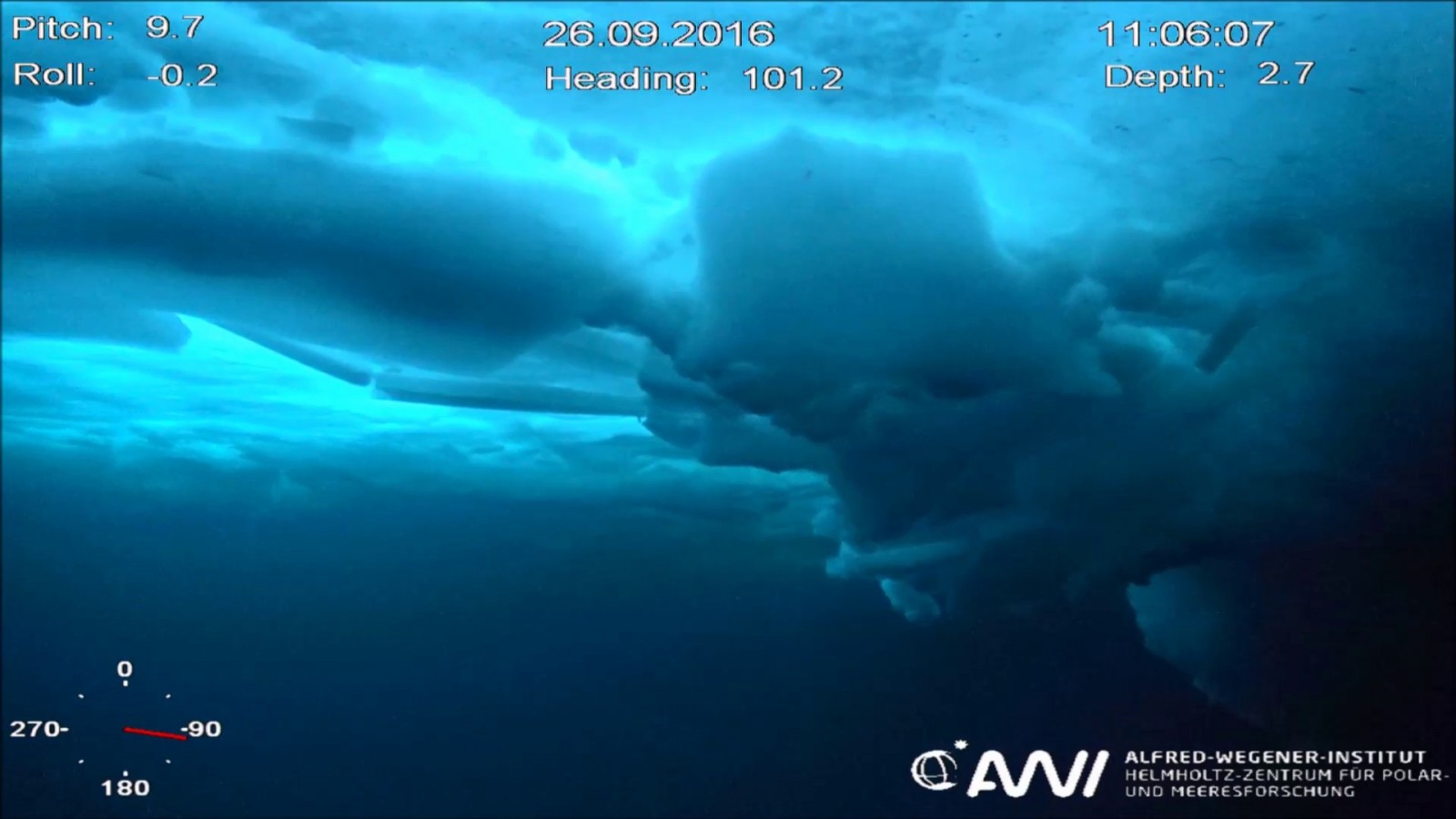
What the pilot sees when driving the ROV by a sea ice pressure ridge [Credit: Katlein et al. (2017)].
Why do we need such observations?
- Robustness: it will not totally replace the traditional ice coring, for some studies still need to get the actual ice. But it will ensure that the choice of locations make sense, or help extrapolate the localised coring results to a larger region.
- Validation: for basin-wide studies, we need satellites. But satellite retrievals, especially those for sea ice thickness, still need in-situ measurements for validation. ROVs can provide more validation points than traditional point-coring for the same mission duration, hence ultimately improving algorithms.
- Seeing is believing: for anything from outreach to future fieldwork preparation, videos captured by an ROV are an unvaluable tool. Ecologists can even see which species live there (or discover new ones).
Further reading
-
Katlein, C., Schiller, M., Belter, H. J., Coppolaro, V., Wenslandt, D., & Nicolaus, M. (2017). A New Remotely Operated Sensor Platform for Interdisciplinary Observations under Sea Ice. Frontiers in Marine Science, 4, 281.
- Image of the Week – Apocalypse snow? … No, it’s sea ice
- Image of the Week – Sea Ice Floes!
Edited by Clara Burgard

