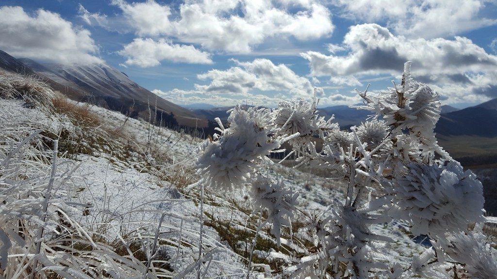
This photo was taken during a fieldwork campaign following the mainshock of the deadly seismic sequence that struck central Italy starting from 24 August 2016. The magnitude 6.2 earthquake severely damaged nearby towns, claimed more than 290 lives and injured nearly 400 people in its wake. As a geologist from the National Institute of Geophysics and Volcanology, I was in charge of measuring the ma ...[Read More]
earthquake
GeoTalk: How an EGU Public Engagement Grant contributed to video lessons on earthquake education
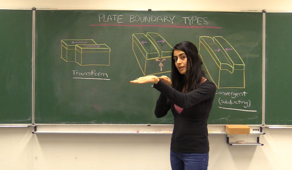
Did you know that the EGU has a public engagement grant scheme which, annually, awards two EGU members with 1000€ to help them develop an outreach project? The 2018 call for applications is currently open. In this GeoTalk interview, Laura Roberts talks to Solmaz Mohadjer, a winner of the first EGU Public Engagement Grants competition in 2016. If you are considering applying, then read on for tips ...[Read More]
September GeoRoundUp: the best of the Earth sciences from around the web
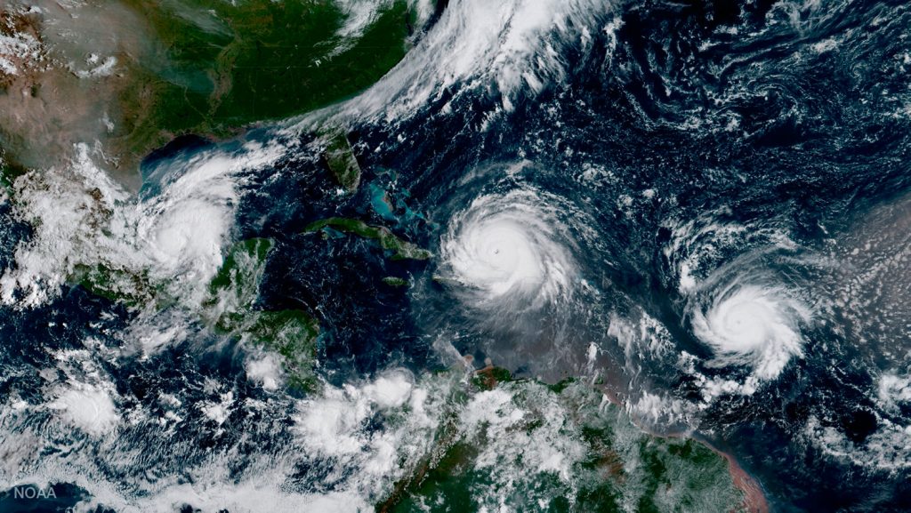
Drawing inspiration from popular stories on our social media channels, as well as unique and quirky research news, this monthly column aims to bring you the best of the Earth and planetary sciences from around the web. Major story and what you might have missed This month has been an onslaught of Earth and space science news; the majority focusing on natural hazards. Hurricanes, earthquakes and v ...[Read More]
Mexico earthquakes: What we know so far
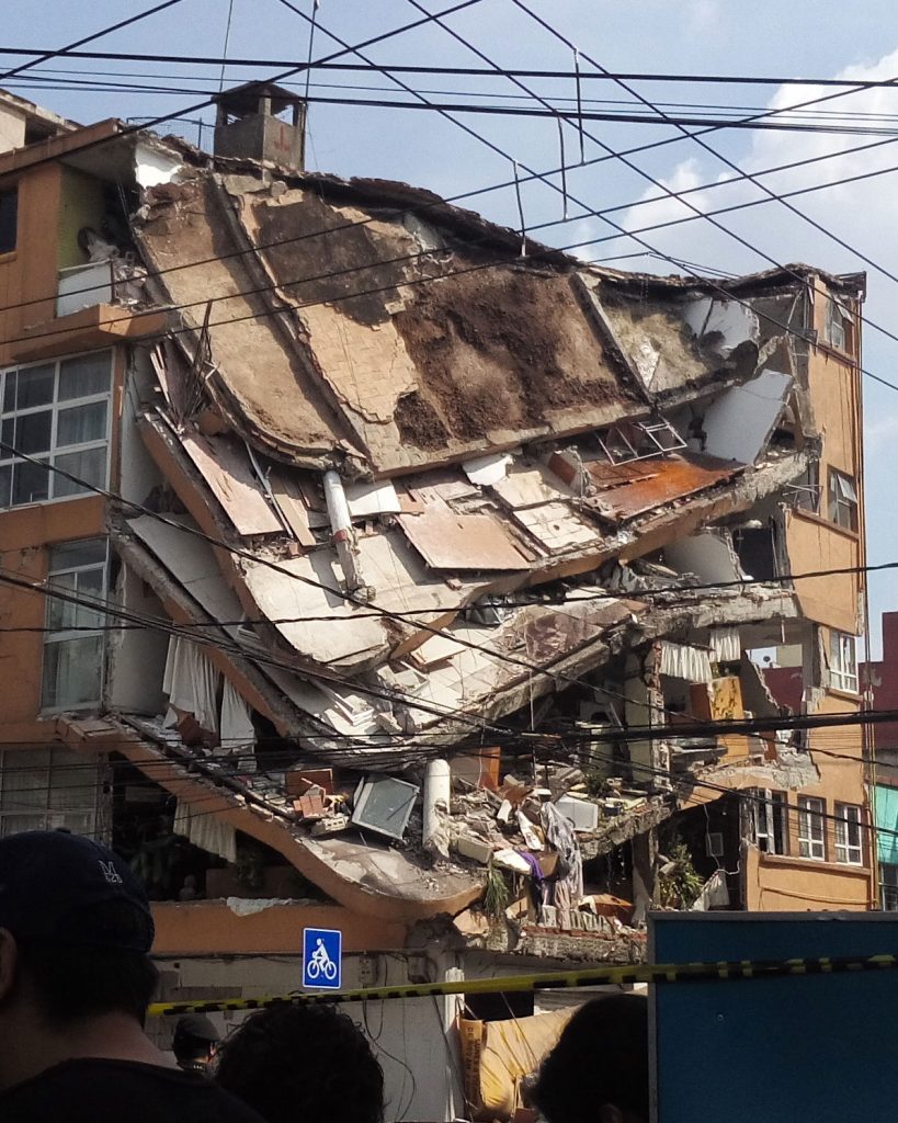
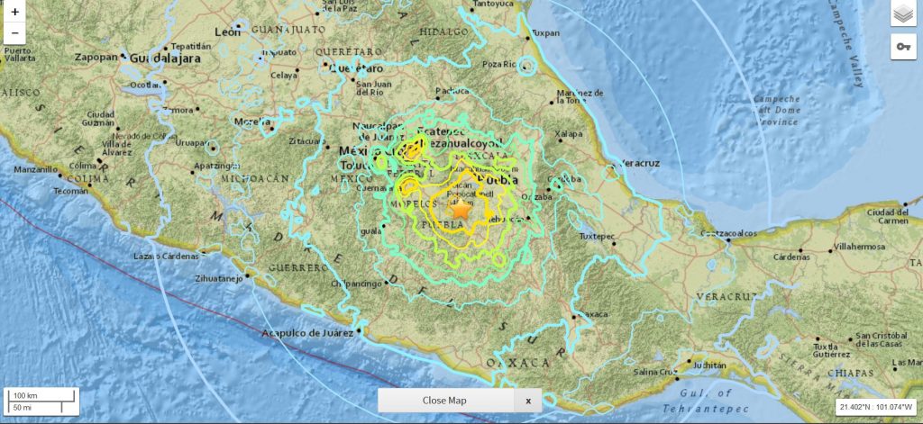
On Friday 8 September 2017 at 04:49 am UTC, a magnitude 8.1 earthquake hit off the coast of Mexico, 87 km SW of Pijijiapan. According to the U.S. Geological Survey, the epicentre was at 15.07 N, 93.72 W at a depth of about 69.7 km. Yesterday, another strong (magnitude 7.1) earthquake hit central Mexico, 55 km SSW of the city of Puebla and 120 km south of Mexico City. Despite the lower magnitude, y ...[Read More]
Is it an earthquake, a nuclear test or a hurricane? How seismometers help us understand the world we live in
Although traditionally used to study earthquakes, like today’s M 8.1 in Mexico, seismometers have now become so sophisticated they are able to detect the slightest ground movements; whether they come from deep within the bowels of the planet or are triggered by events at the surface. But how, exactly, do earthquake scientists decipher the signals picked up by seismometers across the world? And mo ...[Read More]
January GeoRoundup: the best of the Earth sciences from across the web
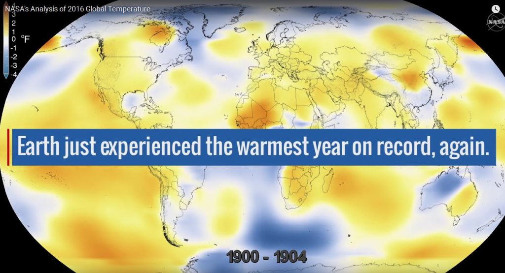
The start of the new year sees the launch of a new series here on GeoLog. Drawing inspiration from popular stories on our social media channels, as well as unique and quirky research news, this monthly column aims to bring you the best of the Earth and planetary sciences from around the web. Major stories One of the biggest stories of this month was the anticipated release of the average global su ...[Read More]
Shaking on Christmas Day: what we know about the 7.6 M Chile earthquake
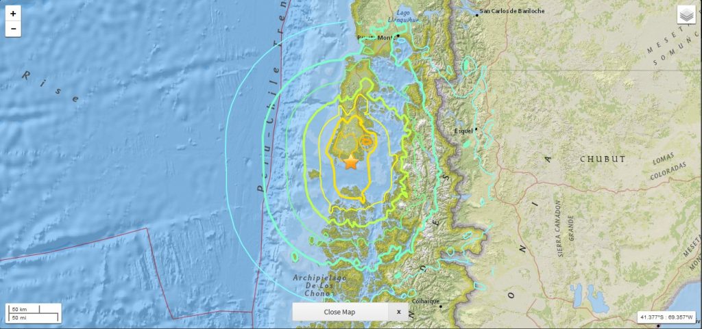
While the majority of us were midway through our Christmas Day celebrations, a powerful 7.6 M earthquake struck off the western coast of the Chile. Natural hazards are not bound by time, location or festivities; an earthquake can happen at any time in any place, regardless of the significance of the day. As a result, in this earthquake prone region, raising awareness of the risk posed by natural h ...[Read More]
Imaggeo on Mondays: Aoraki & a round-up of the latest New Zealand earthquake news
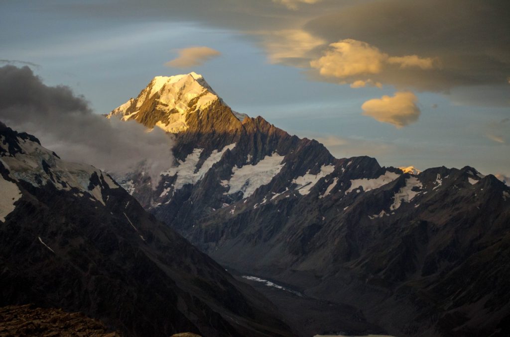
On Sunday the 13th November, New Zealand’s South Island was struck by a powerful 7.8 M earthquake. Initial analysis by the United States Geological Survey (USGS) indicates that the source of the tremor was faulting on or near the boundary between the Pacific and Australia plates. A tsunami alert (no longer active) was triggered following the earthquake, with risk of tsunami waves along coastal are ...[Read More]
GeoTalk: A smart way to map earthquake impact
Last week at the 2016 General Assembly Sara, one of the EGU’s press assistants, had the opportunity to speak to Koen Van Noten about his research into how crowdsourcing can be used to find out more about where earthquakes have the biggest impact at the surface. Firstly, can you tell me a little about yourself? I did a PhD in structural geology at KULeuven and, after I finished, I started to ...[Read More]
When mountains collapse…
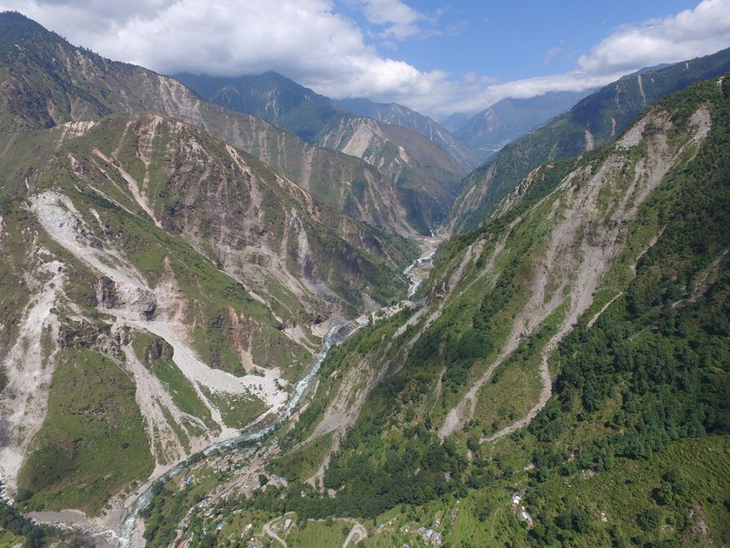
Jane Qiu, a grantee of the Pulitzer Center on Crisis Reporting, took to quake-stricken Nepal last month — venturing into landslide-riddled terrains and shadowing scientists studying what makes slopes more susceptible to failure after an earthquake. The journey proved to be more perilous than she had expected. What would it be like to lose all your family overnight? And how would you cope? It’s wit ...[Read More]