Climate change is not a new phenomenon. Nor is global warming. So why do researchers report a poor public understanding of this subject around the world? According to a recently published study, 70% of the people surveyed said they were concerned about rising global temperatures but had little knowledge about the climate crisis. When asked how much they knew about the origin and effects of global ...[Read More]
Imaggeo On Monday: Beech leaves on burned ground

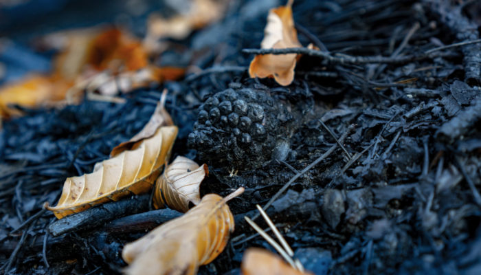
A charred pine cone lies on the ground of a mixed beech-pine forest following a forest fire in the Rax-Schneeberg region of Austria in 2021. The charred pine cone and litter are surrounded by unburned yellow beech leaves that fell to the ground after the surface fire. Pyrogenic carbon such as the charred pine cone can remain stable in the environment for extended periods of time and can affect bio ...[Read More]
GeoRoundup: the highlights of EGU Journals published during July!
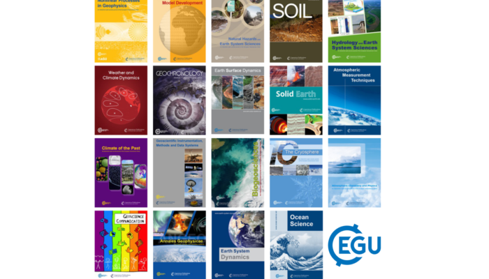
Each month we feature specific Divisions of EGU and during the monthly GeoRoundup we will be putting the journals that publish science from those Divisions at the top of the Highlights roundup. For July, the Divisions we are featuring are: Atmospheric Science (AS), Hydrological Sciences (HS) and Geomorphology (GM). They are served by the journals: Geoscientific Model Development (GMD), Annales Geo ...[Read More]
GeoPolicy: Competencies for researchers to achieve policy impact
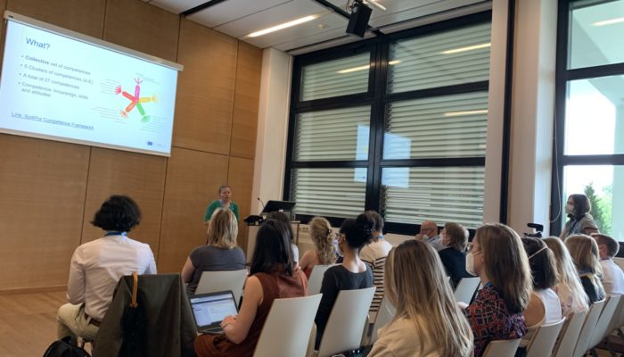
This month’s GeoPolicy Blog post features the Competence Framework ‘Science for Policy’ for researchers developed by the European Commission Joint Research Centre (JRC). This newly developed framework introduces the different competences scientists can collectively build to increase their policy impact, and how it can be used by research institutions and organisations. Throughout this post, ...[Read More]


