GeoLog

Regular Features

GeoPolicy: What’s next for the IPCC & how can early career scientists get involved? An interview with Valérie Masson-Delmotte

GeoPolicy: What’s next for the IPCC & how can early career scientists get involved? An interview with Valérie Masson-Delmotte

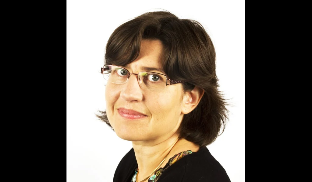
This month’s GeoPolicy post is an interview with the newly-appointed co-chair of the Intergovernmental Panel on Climate Change (IPCC) Working Group 1 (WG1): Valérie Masson-Delmotte. Valérie is also a Principle Investigator at the Laboratoire des Sciences du Climat et de l’Environnement, Paris. In this interview she discusses how she balances her two roles, what the …[Read More]

Imaggeo on Mondays: Storm on the Rock

Imaggeo on Mondays: Storm on the Rock

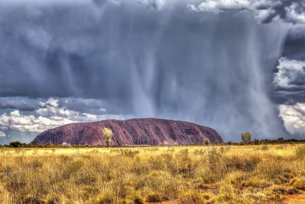
This is a photograph of Uluru, in the Northern Territory of Australia, on a hot and humid summer afternoon. As lightning flashed about, torrential rains swept across the landscape and silver rivulets of water began to rush down the sides of the mountain. Uluru is made of red-coloured Proterozoic arkosic sandstones, a coarse grained lithology …[Read More]

Imaggeo on Mondays: Moving images – Photo Contest 2016

Imaggeo on Mondays: Moving images – Photo Contest 2016

Since 2010, the European Geosciences Union (EGU) has been holding an annual photo competition and exhibit in association with its General Assembly and with Imaggeo – the EGU’s open access image repository. In addition to the still photographs, imaggeo also accepts moving images – short videos – which are also a part of the annual …[Read More]

Imaggeo on Mondays: Half dome at sunset

Imaggeo on Mondays: Half dome at sunset

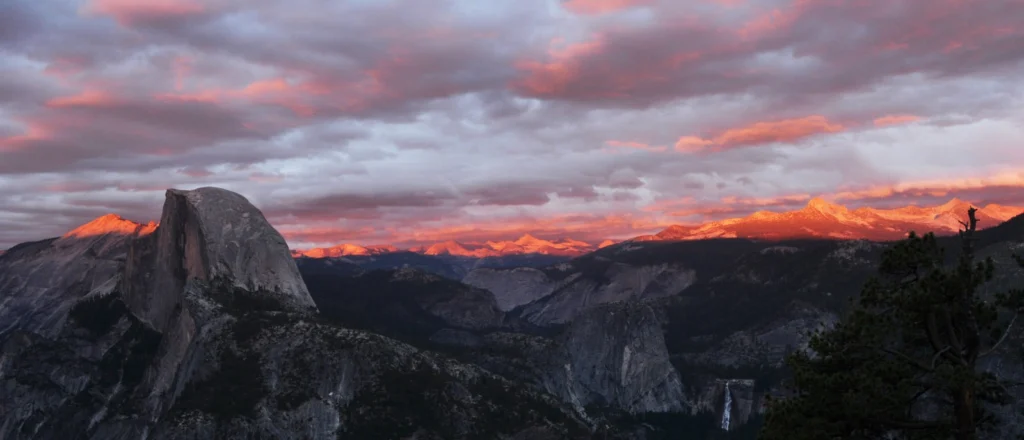
Yosemite’s Half Dome stands, majestic, over a granite dominated terrain in the Yosemite Valley area;  one of the most beautiful landscapes in northern America, and arguably, the world – it is also an Earth scientist’ playground. Stamped into the west slope of the Sierra Nevada range, the Yosemite Valley is a collection of lush forests, …[Read More]

Imaggeo on Mondays: Earth Wave

Imaggeo on Mondays: Earth Wave

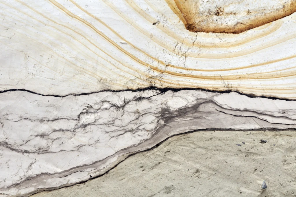
Take a stroll along the norther beaches of the French Channel Coast, some kilometers east from the entrance of the Channel Tunnel, and you’ll encounter an imposing cliff of soft, sandy composition which dominates the landscape. On close inspection, the sediments which make up the Quaternary aged deposits of the Sangatte Cliff, are beautiful, revealing …[Read More]

GeoPolicy: How to communicate science to policy officials – tips and tricks from the experts

GeoPolicy: How to communicate science to policy officials – tips and tricks from the experts

The EGU General Assembly was bigger than ever this year. Over 16,500 people attended more than 500 sessions. Although many sessions featured policy-relevant science, the short course entitled ‘Working at the science policy interface‘ focused purely on the role of scientists within the policy landscape. For those of you that couldn’t attend, this month’s GeoPolicy post …[Read More]

Imaggeo on Mondays: The waxing Earth

Imaggeo on Mondays: The waxing Earth

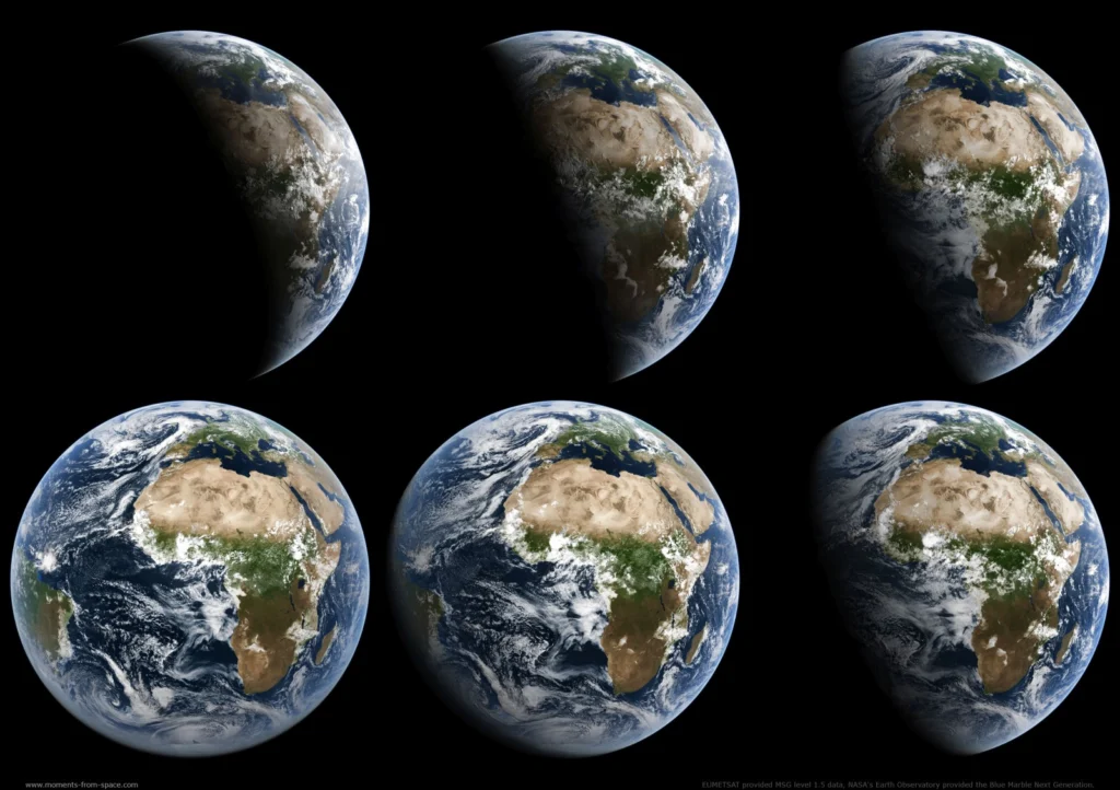
These incredible images of Earth were acquired from the European MSG-2 satellite on July 21, 2009. The MSG, which stands for Meteosat Second Generation, satellites are operated as a series of satellites which continually orbit our planet, capturing detailed images of Europe, Africa and parts of the Atlantic and Indian Ocean every 15 minutes. The data acquired …[Read More]

GeoTalk: A smart way to map earthquake impact

GeoTalk: A smart way to map earthquake impact

Last week at the 2016 General Assembly Sara, one of the EGU’s press assistants, had the opportunity to speak to Koen Van Noten about his research into how crowdsourcing can be used to find out more about where earthquakes have the biggest impact at the surface. Firstly, can you tell me a little about yourself? …[Read More]