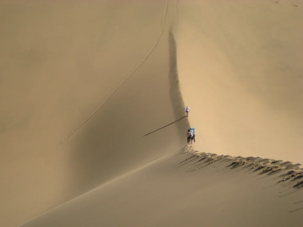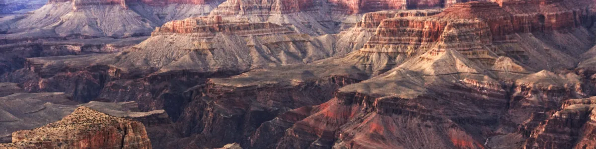
Imagine taking a hike over soft, ever shifting sands. This is exactly what Martina Klose, a researcher at USDA, did when she captured this beautiful photograph. While most of us will likely think of deserts as inhospitable and static landscapes, they can tell us much about dune forming processes, as Martina explains in today’s blog …[Read More]
Regular Features
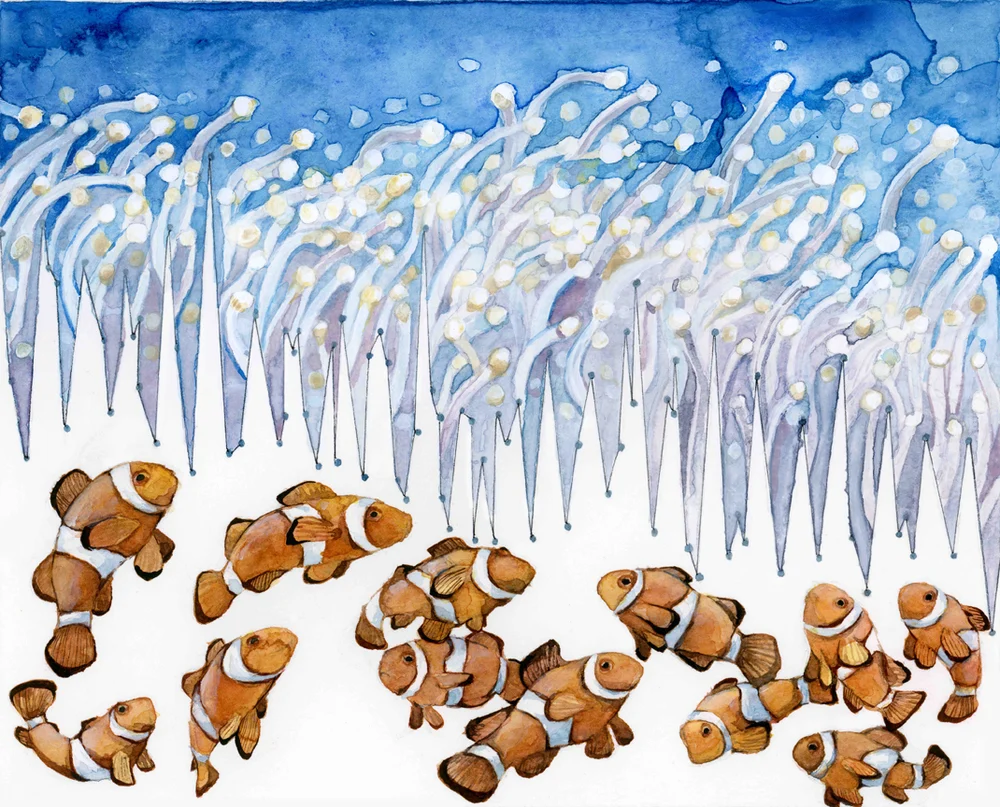
GeoEd: Using art in your science teaching and outreach. The why and the how.
This month’s GeoEd post is brought to you by Dr. Mirjam S. Glessmer. Mirjam is a physical oceanographer turned instructional designer. She blogs about her “Adventures in Teaching and Oceanography” and tweets as @meermini. Get in touch if you are interested in talking about teaching and learning in the geosciences! Sometimes we look for new …[Read More]
GeoTalk: Friction in volcanic environments by Jackie Kendrick
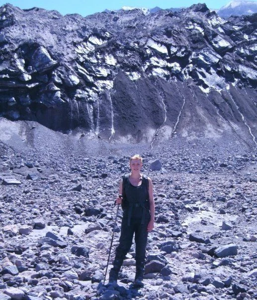
Geotalk is a regular feature highlighting early career researchers and their work. In this interview we speak to Jackie Kendrick, a volcanologist at the University of Liverpool, and winner of the 2016 GMPV Outstanding Young Scientist Award. The occasion will be marked during the upcoming General Assembly, where you’ll be able to listen to Jackie …[Read More]
Imaggeo on Mondays: Moonland
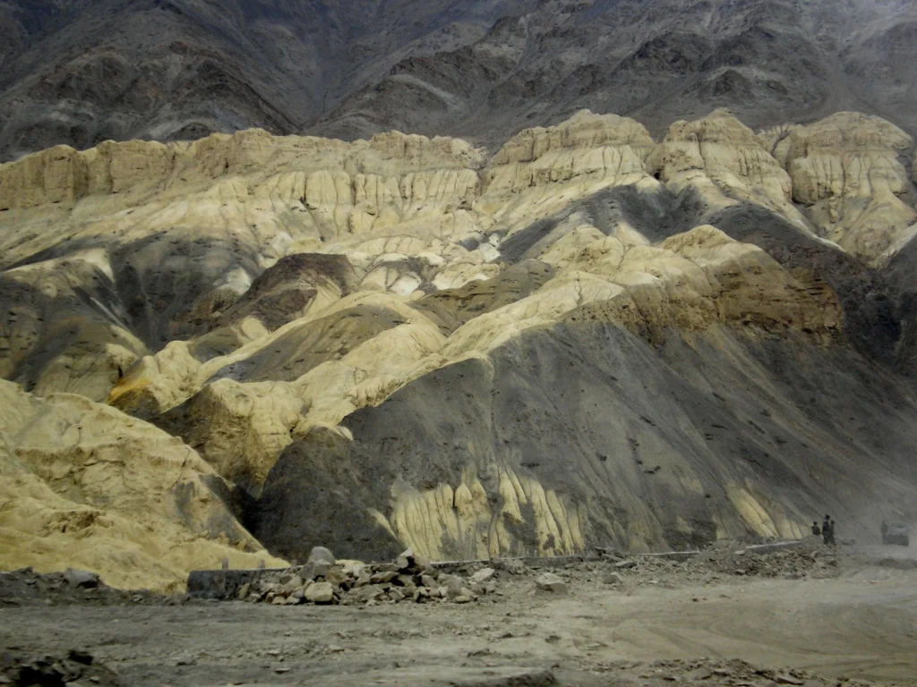
The moon-like landscapes surrounding the Himalayan village of Lamayuru attract tourists seeking off-the-beaten track adventures. The village is enchanting, not only for the striking geological formations that frame it, but also for the presence of an 11th Century Buddhist monastery. “The rock formations are known as ‘Moonland’”, says Arjun Datta, author of this week’s imaggeo …[Read More]
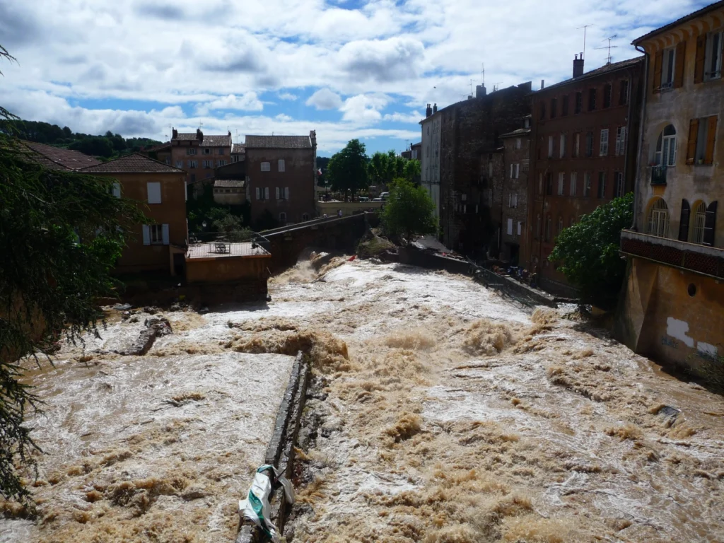
GeoSciences Column: Mapping floods with social media
Picture this: you are on your commute home, smartphone or tablet in hand, surfing the internet. You might quickly catch up on the latest news, check in with your friend’s on Facebook, or take to Twitter to share a morsel of information with your followers. This scenario is common in the modern era of technology. …[Read More]
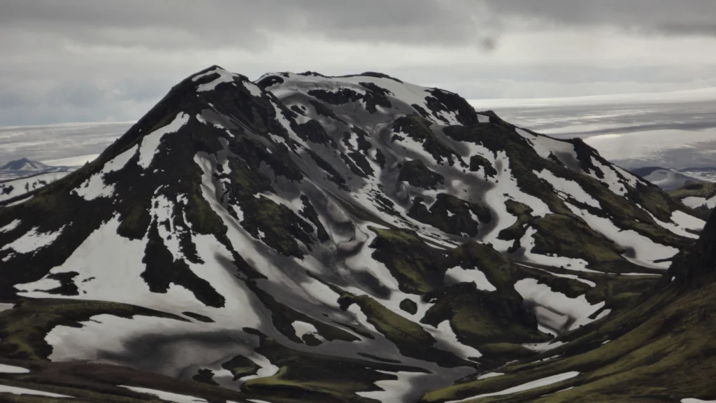
Imaggeo on Mondays: Snow and ash in Iceland
Featuring today on the blog is the land of ice and fire: Iceland. That title was never better suited to (and exemplified), than it is in this photograph taken by Daniel Garcia Castellanos in June 2013. Snow capped peaks are also sprinkled by a light dusting of volcanic ash. Dive into this post to find …[Read More]
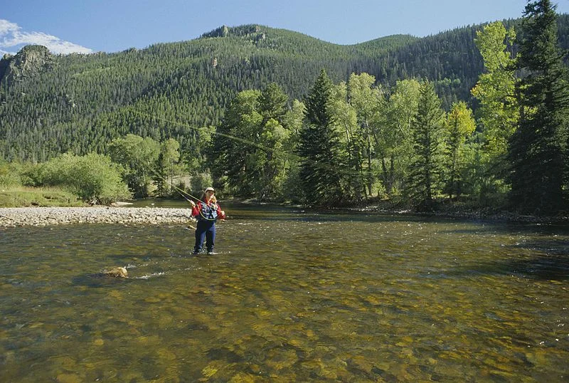
GeoTalk: Fishing meets science with waders and smartphones
Dutch and American researchers have developed waders equipped with temperature sensors that enable fly-fishers to find the best fishing locations while collecting data to help scientists study streams. The research is published today (29 February) in Geoscientific Instrumentation Methods and Data Systems (GI), an open access journal of the European Geosciences Union. In this GeoTalk …[Read More]
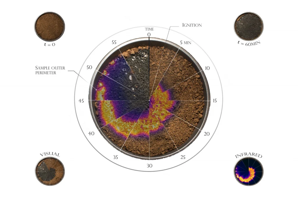
Imaggeo on Mondays: Fire Watch Constellation
Wild fires: raging walls of flames, capable of burning down swathes of pristine, sometimes protected and ancient, landscapes have been causing havoc around the globe. Managing and controlling them is no easy task; they can unexpectedly change their course with the wind and jump across rivers, roads and man-made fire breaks. The significant threat they …[Read More]
GeoEd: One example of how playing works in outreach activities!
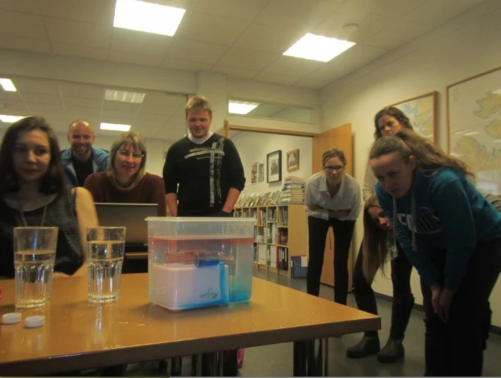
This month’s GeoEd post is brought to you by Dr. Mirjam S. Glessmer. Mirjam, is a physical oceanographer and now works as Coordinator of Teaching Innovation at Hamburg University of Technology. Mirjam blogs about her “Adventures in Teaching and Oceanography” and tweets as @meermini. Get in touch if you are interested in talking about teaching …[Read More]
Imaggeo on Mondays: Home Sweet Home
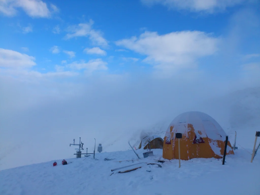
Can you imagine camping atop some of the highest mountains in Europe and waking up to a view of snowcapped peaks, deep valleys and endless blue skies? This paints an idyllic picture; field work definitely takes Earth scientists to some of the most beautiful corners of the planet. But, there often are two sides to …[Read More]