GeoLog

Regular Features

Geosciences Column: Do coastlines have memories?

do coastlines have memories

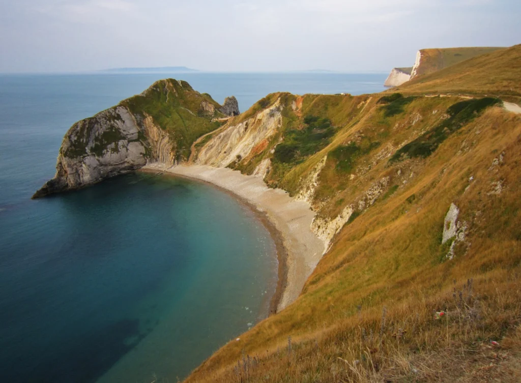
Did you know that the shape of coastlines is determined by the angle at which waves crash against the shoreline. It has long been thought that fluctuations in the wave incidence angle are rapidly felt by coastlines, which change the shapes of their shores quickly in response to shifting wave patterns. Or do they? Researchers at the British Geological Survey, Duke University (USA) and Woods Hole Oc ...[Read More]

Imaggeo on Mondays: Tones of sand

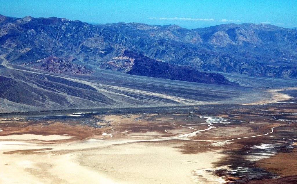
Tones of Sand

With rocks dating as far back as the Precambrian, mountain building events, violent volcanic eruptions and being covered, on and off, by shallow seas, Death Valley’s geological history is long and complex. Back in the Cenozoic (65 to 30 million years ago), following a turbulent period which saw the eruption of volcanoes (which in time would form the Sierra Nevada of California) and regional uplift ...[Read More]

The best of Imaggeo in 2016: in pictures

The best of Imaggeo in 2016: in pictures

Imaggeo, our open access image repository, is packed with beautiful images showcasing the best of the Earth, space and planetary sciences. Throughout the year we use the photographs submitted to the repository to illustrate our social media and blog posts. For the past few years we’ve celebrated the end of the year by rounding-up some of the best Imaggeo images. But it’s no easy task to pick which ...[Read More]

Imaggeo on Mondays: Ice drilling

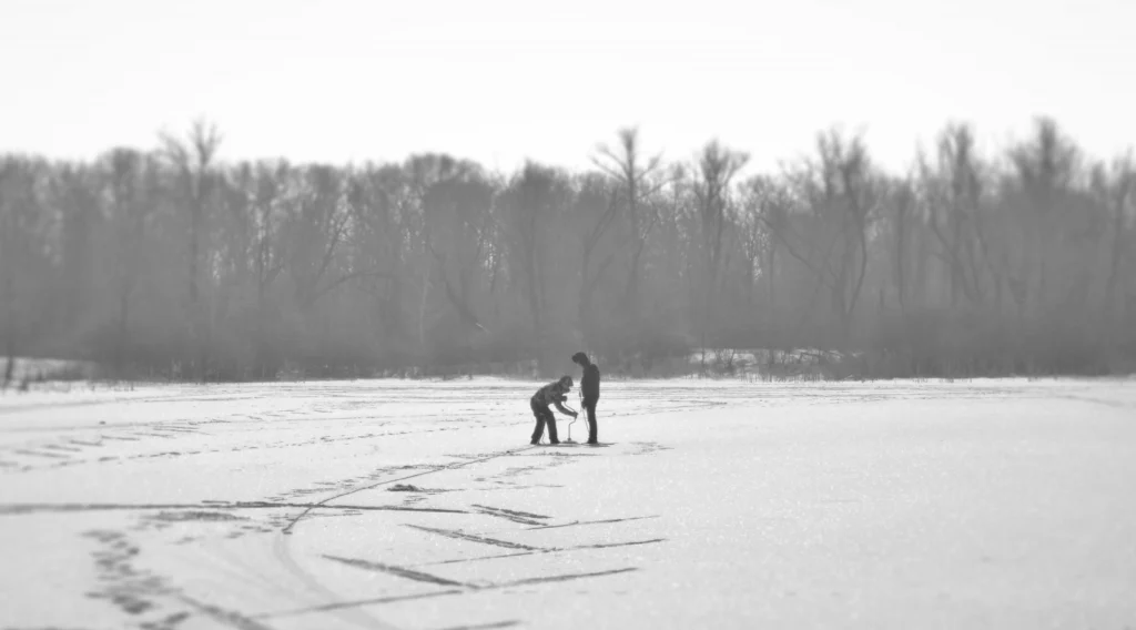
Ice drilling in Saratov

This week’s Imaggeo on Monday’s post, captured by Maksim Cherviakov, shows students from Saratov National Research University practicing a method to measure lake ice thickness. The students are using an ice auger to manually burrow through the ice. Afterwards, the ice depth is recorded using a tape measure. “We measure ice thickness every year on the lakes located in the floodplain of the Vo ...[Read More]

GeoTalk: Using satellites to unravel the secrets of our planet’s polar regions

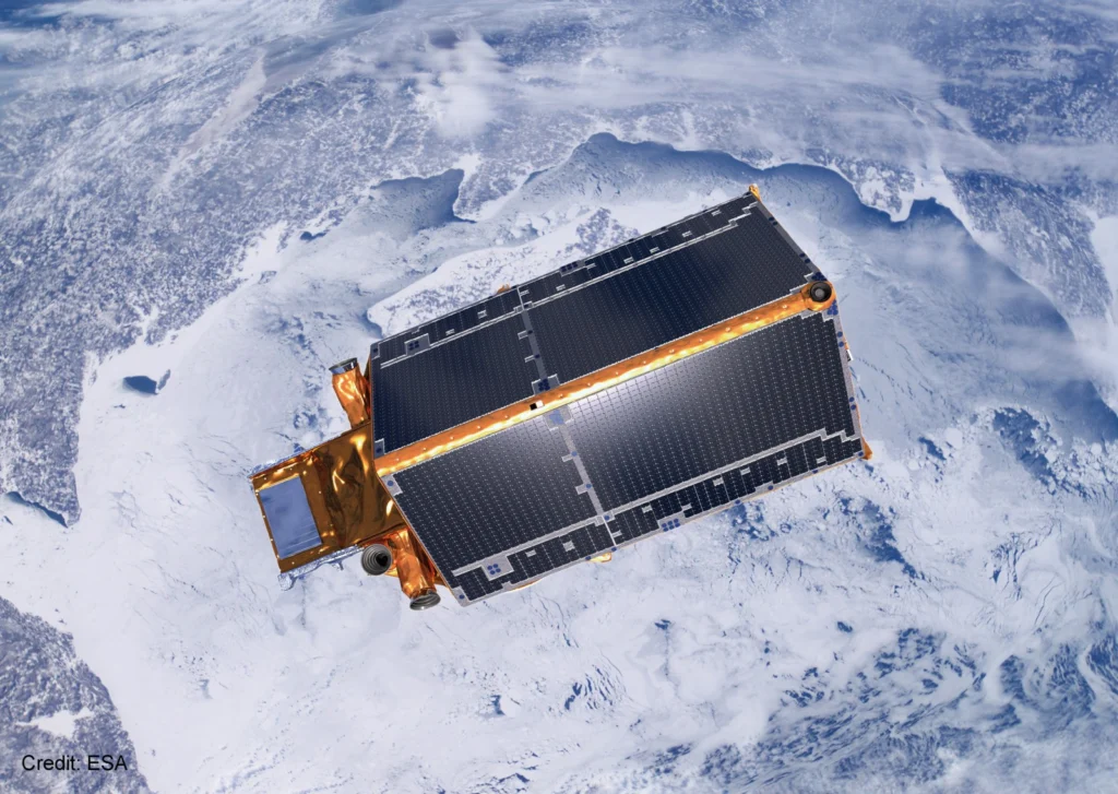
GeoTalk: Using satellites to unravel the secrets of our planet’s polar regions

Geotalk is a regular feature highlighting early career researchers and their work. In this interview we speak to Bert Wouters, a polar scientist at the University of Utrecht, and winner of one of the 2016 Arne Richter Awards for Outstanding Young Scientists. At a time when the polar regions are facing increasing challenges resulting from climate change, understanding how they might respond to them ...[Read More]

GeoPolicy: A new vehicle emissions test to be introduced, say EU’s top scientists

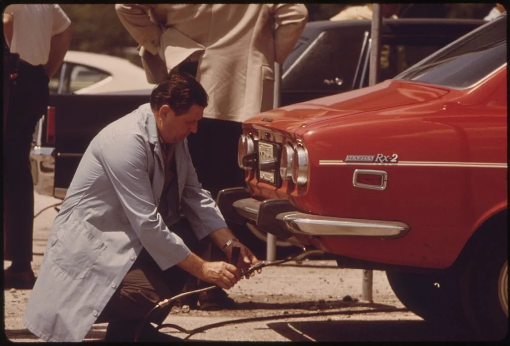
Inspector testing vehicle emissions

Last year the European Commission appointed a panel of world leading scientists to advise on key science policy issues. In November, the panel issued their first recommendation report focusing on CO2 vehicle emissions. The month’s GeoPolicy post takes a closer look at this high-level advisory panel and the recommendations they have published.   In 2015, the Scientific Advice Mechanism (SAM) w ...[Read More]

Imaggeo on Mondays: “Vancouver! Vancouver! This is it!”

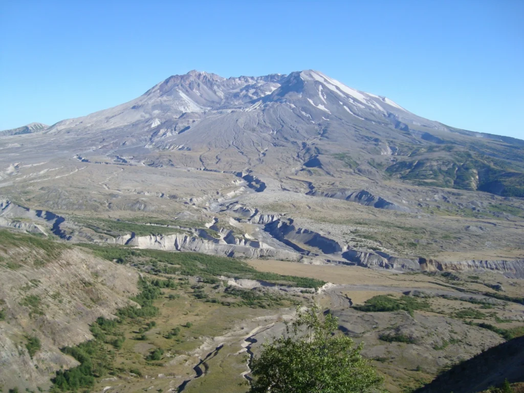
Mount St Helen's, Washington, seen from Johnston Ridge.

On May 18th 1980 Mount St Helens (an active stratovolcano of the Cascades located in the North West US), erupted explosively following a magnitude 5.1 earthquake. The quake triggered a devastating landslide which swept away the volcano’s northern flank – in what is the largest debris avalanche recorded on Earth to date. Removal of a section of the edifice depressurised the volcano’s magmatic ...[Read More]

Imaggeo on Mondays: The shrinking of Earth’s saltiest lake

One of the consequences of the rapid fall of the water level (>1 m per year), is that vast areas of salt-rich ground of the shrunken Dead Sea are prone to strong dissolution and mechanical erosion of the subsurface processes.

The Dead Sea is one of the saltiest lakes on Earth, located at the lowest point of the globe.  For centuries it has been known for the restorative powers of its muds and waters. Their hypersalinity means it is possible to easily float on the lake’s surface. Bordering Israel, the West Bank and Jordan, it is a unique environment in an otherwise arid region.  Changing climate, which is seeing tempera ...[Read More]

Geosciences Column: The complex links between shrinking sea ice and cloud cover

Sea ice breaking on the Chukchi Sea, Barrow, July 2014

The global climate system is complex. It is composed of, and governed by, a plethora of interconnect factors. Solar radiation, land surface, ice cover, the atmosphere and living things, as well as wind and ocean currents, play a crucial role in the climate system. These factors are intricately connected; changes to some can have significant effects on others, leading to overall consequences for th ...[Read More]

Imaggeo on Mondays: White rainbow in the Arctic

“Above the foggy strip, this white arch was shining, covering one third of the visible sky in the direction of the ship's bow,” he explains. “It was a so-called white, or fog rainbow, which appears on the fog droplets, which are much smaller then rain droplets and cause different optic effects, which is a reason of its white colour.”

Despite heading into the long polar night – the time when the sun doesn’t shine in the globe’s most northerly latitudes and when temperatures drop and thick sheets of sea ice form -the Arctic is reported to be 20° C warmer than average for this time of year.  Never has it been more important to understand the effects of climate change on Polar Regions. Mikhail Varentsov, a climate and meteor ...[Read More]