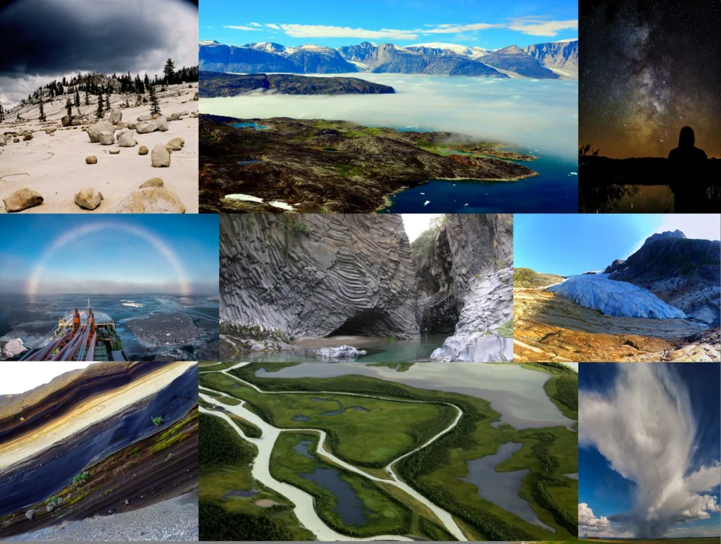
If you are pre-registered for the 2017 General Assembly (Vienna, 23 – 28 April), you can take part in our annual photo competition! Winners receive a free registration to next year’s General Assembly! The eighth annual EGU photo competition opens on 1 February. Up until 1 March, every participant pre-registered for the General Assembly can submit up three original photos and one moving image on an ...[Read More]
Imaggeo
Imaggeo on Mondays: littoral rainforests
Making room for growing populations, and the resources they demand, comes at the cost of precious natural environments. Rainforests, globally, are under threat from farming, logging and ever expanding cities. It is reported that if current rates of exploitation continue, the world’s rainforests could be lost within the next century. Like almost anything else, rainforests come in all shapes a ...[Read More]
Imaggeo on Mondays: the remotest place on Earth?
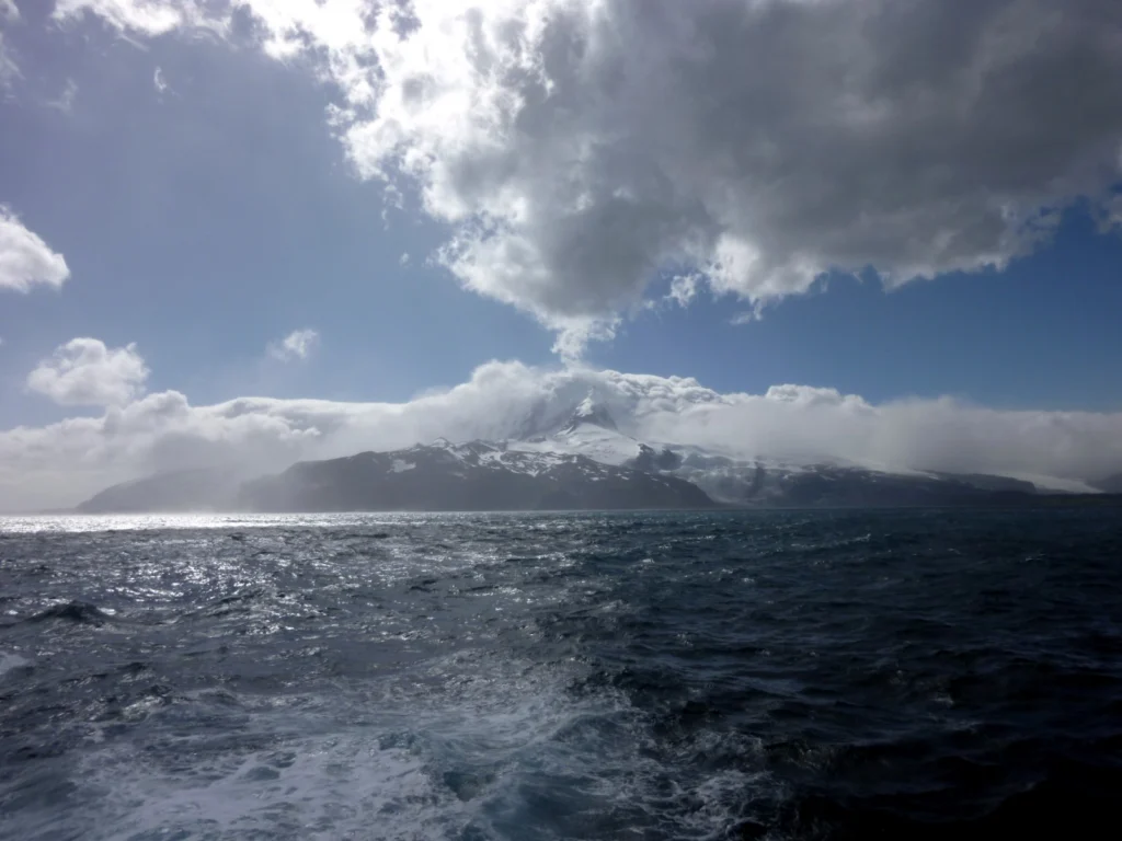
Perhaps a bold claim, but at over 4,000 km away from Australia and 4,200 km from South Africa, Heard Island is unquestionably hard to reach. The faraway and little know place is part of a group of volcanic islands known as HIMI (comprised of the Heard Island and McDonald Islands), located in the southwest Indian Ocean. Shrouded in persistent bad weather and surrounded by the vast ocean, Heard Isla ...[Read More]
Imaggeo on Mondays: Don’t miss the abstract deadline
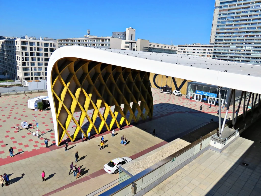
The EGU General Assembly brings together geoscientists from all over the world to one meeting that covers all disciplines of the Earth, planetary and space sciences. The conference is taking place in Vienna on 23–28 April 2017, providing an opportunity for both established scientists and early career researchers to present their work and discuss their ideas with experts in all fields of the geosci ...[Read More]
Imaggeo on Mondays: Tones of sand
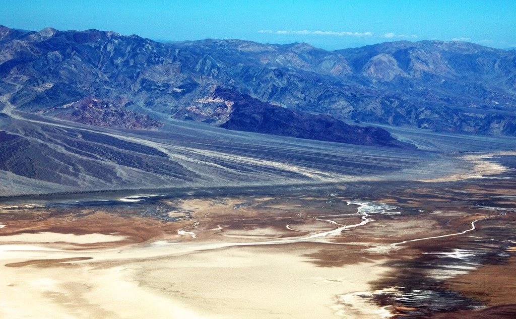
With rocks dating as far back as the Precambrian, mountain building events, violent volcanic eruptions and being covered, on and off, by shallow seas, Death Valley’s geological history is long and complex. Back in the Cenozoic (65 to 30 million years ago), following a turbulent period which saw the eruption of volcanoes (which in time would form the Sierra Nevada of California) and regional uplift ...[Read More]
The best of Imaggeo in 2016: in pictures
Imaggeo, our open access image repository, is packed with beautiful images showcasing the best of the Earth, space and planetary sciences. Throughout the year we use the photographs submitted to the repository to illustrate our social media and blog posts. For the past few years we’ve celebrated the end of the year by rounding-up some of the best Imaggeo images. But it’s no easy task to pick which ...[Read More]
Looking back at the EGU Blogs in 2016: a competition
The past 12 months has seen an impressive 360 posts published across the EGU’s official blog, GeoLog, as well as the network and division blogs. From a lighthearted Aprils Fools’ Day post featuring an extreme chromatic phenomenon (otherwise known as FIB); through to how climate change is affecting mountain plant’s sex ratios; features on natural hazard events throughout the year and children’s dis ...[Read More]
Imaggeo on Mondays: Ice drilling
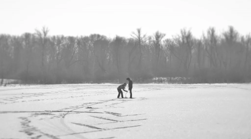
This week’s Imaggeo on Monday’s post, captured by Maksim Cherviakov, shows students from Saratov National Research University practicing a method to measure lake ice thickness. The students are using an ice auger to manually burrow through the ice. Afterwards, the ice depth is recorded using a tape measure. “We measure ice thickness every year on the lakes located in the floodplain of the Vo ...[Read More]
Imaggeo on Mondays: “Vancouver! Vancouver! This is it!”
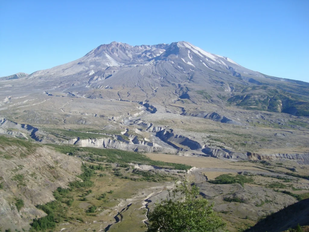
On May 18th 1980 Mount St Helens (an active stratovolcano of the Cascades located in the North West US), erupted explosively following a magnitude 5.1 earthquake. The quake triggered a devastating landslide which swept away the volcano’s northern flank – in what is the largest debris avalanche recorded on Earth to date. Removal of a section of the edifice depressurised the volcano’s magmatic ...[Read More]
Imaggeo on Mondays: The shrinking of Earth’s saltiest lake
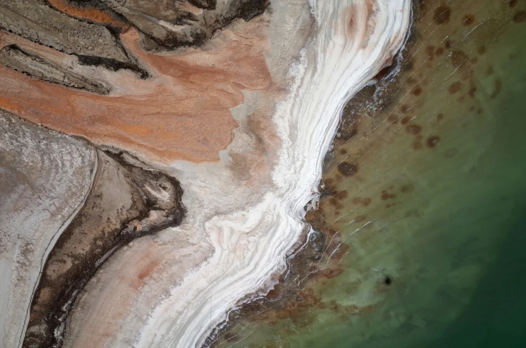
The Dead Sea is one of the saltiest lakes on Earth, located at the lowest point of the globe. For centuries it has been known for the restorative powers of its muds and waters. Their hypersalinity means it is possible to easily float on the lake’s surface. Bordering Israel, the West Bank and Jordan, it is a unique environment in an otherwise arid region. Changing climate, which is seeing tempera ...[Read More]