GeoLog

Imaggeo

Imaggeo on Mondays: The breath of our Earth
Imaggeo on Mondays: The breath of our Earth
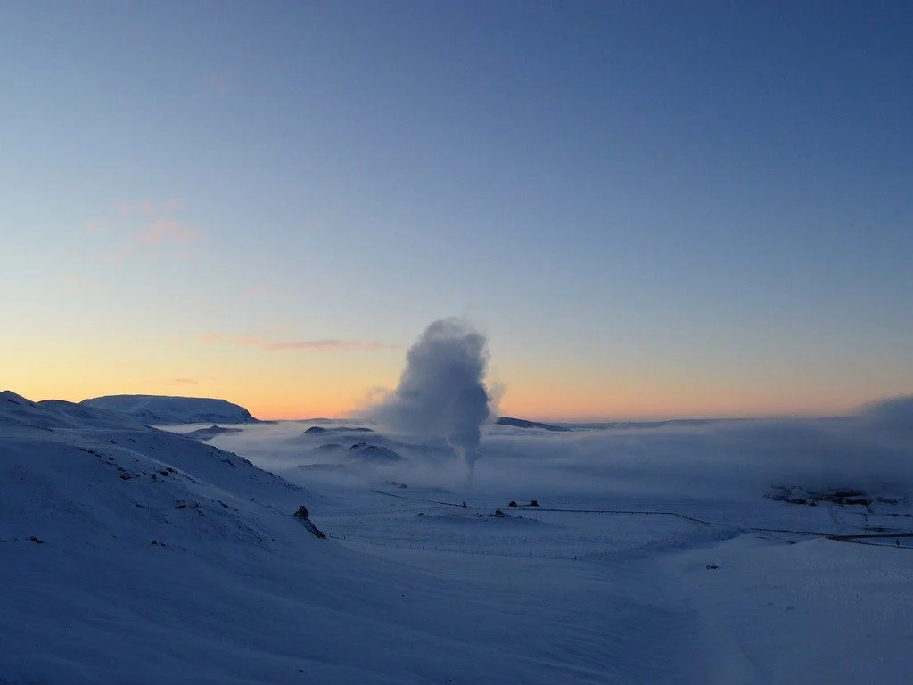
This picture was taken in the Myvatn geothermal area in southeast Iceland. Seeing the geothermal steam vent in this area while the temperature was -22 degrees Celsius is the best experience in Myvatn. The difference between Iceland’s cold ambient temperature and the released heat from inside the Earth is a really stunning event to see. Iceland is situated in the middle of two tectonic plates (the ...[Read More]

Imaggeo on Mondays: Hints of an eruption

Imaggeo on Mondays: Hints of an eruption

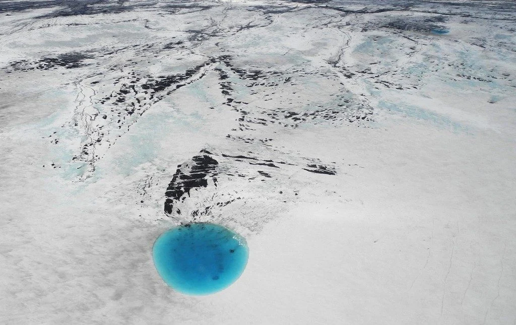
The photograph shows water that accumulated in a depression on the ice surface of Vatnajökull glacier in southeastern Iceland. This 700m wide and 30m deep depression [1], scientifically called an ‘ice cauldron’, is surrounded by circular crevasses on the ice surface and is located on the glacier tongue Dyngjujökull, an outlet glacier of Vatnajökull. The photo was taken on 4 June 2016, less than 22 ...[Read More]

Imaggeo on Mondays: A Colombian myth with geologic origins

Imaggeo on Mondays: A Colombian myth with geologic origins

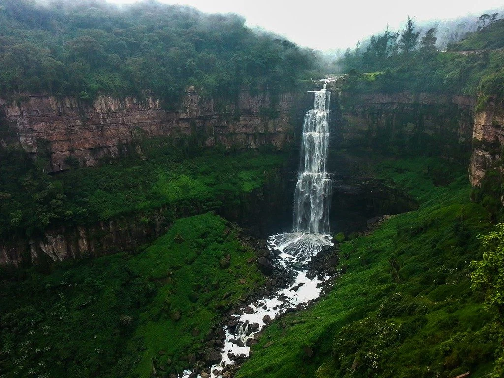
This photograph shows El salto del Tequendama, a natural waterfall of Colombia, located in the Department of Cundinamarca at an altitude of 2400 metres above sea level and approximately 30 kilometres southwest of the country’s capital, Bogotá. The Salto del Tequendama is a space of transit and connectivity between the warm lands of the Magdalena river basin and the cold lands of the Sumapaz ...[Read More]

Imaggeo on Mondays: A volcanic point of view

Imaggeo on Mondays: A volcanic point of view

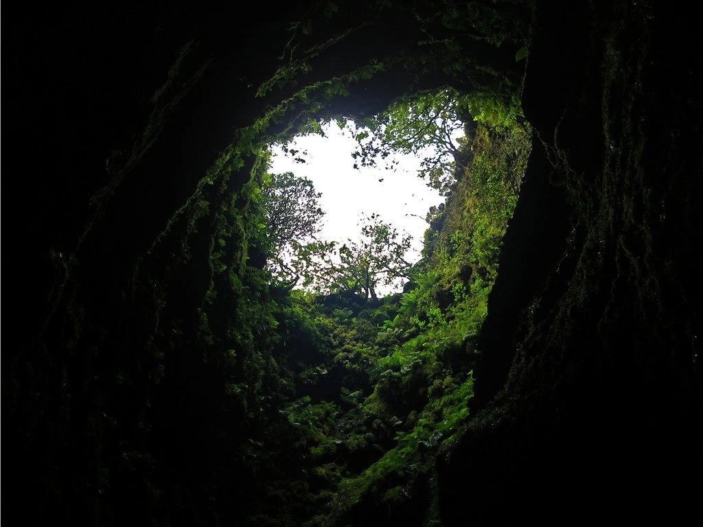
It’s not every day that you can peer into a volcano, much less gaze out at the sky from the inside of one. The Algar do Carvão, or “the Cavern of Coal,” is one of the few places on Earth where you can explore the underground reaches of a volcanic site. The volcanic pit is found on the island of Terceira, part of the Azores archipelago. This collection of islands is an autonomous region of Portugal ...[Read More]

Imaggeo on Mondays: River in a charoite schist

Imaggeo on Mondays: River in a charoite schist

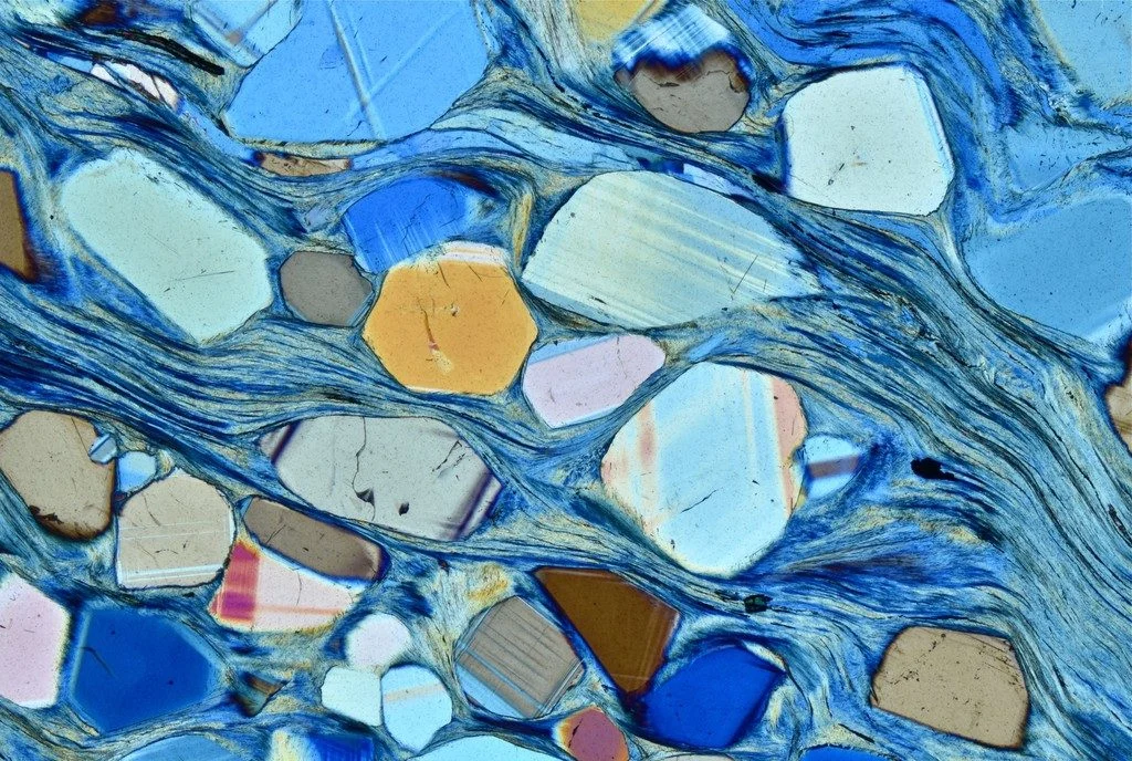
Polarized light photomicrograph of a thin section of a charoite-bearing schist. Charoite is a rare silicate found only at one location in Yakutia, Russia. For its beautiful and uncommon purple color it is used as a semi-precious stone in jewelry. Under the microscope charoite-bearing rocks give an overall feeling of movement, with charoite forming fibrous mats that swirl and fold as a result of de ...[Read More]

Imaggeo on Mondays: Probing the Pliocene

Imaggeo on Mondays: Probing the Pliocene

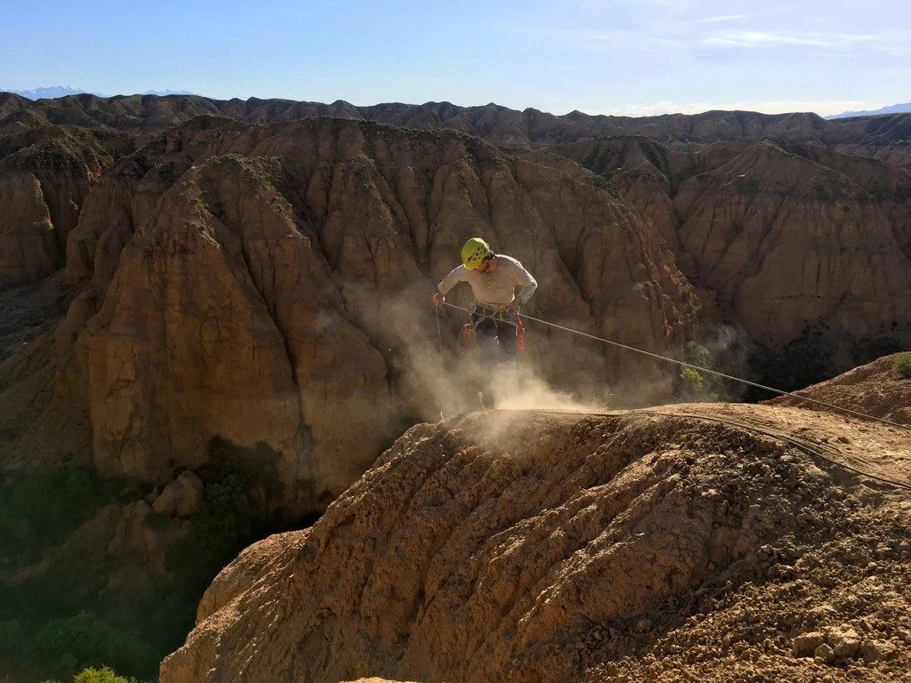
The heights we go to for science… This photograph shows a member of our team preparing to abseil down a cliff in the Charyn Canyon, in the Ili River basin of southeast Kazakhstan. The Charyn River and its tributaries, a branch of the Ili River north of the Tien Shan Mountains, have cut canyons up to 300 metres deep, carving through rocks of different geologic ages, some as old as 540 million years ...[Read More]

Imaggeo on Mondays: Iceland’s original birch forest

Imaggeo on Mondays: Iceland’s original birch forest

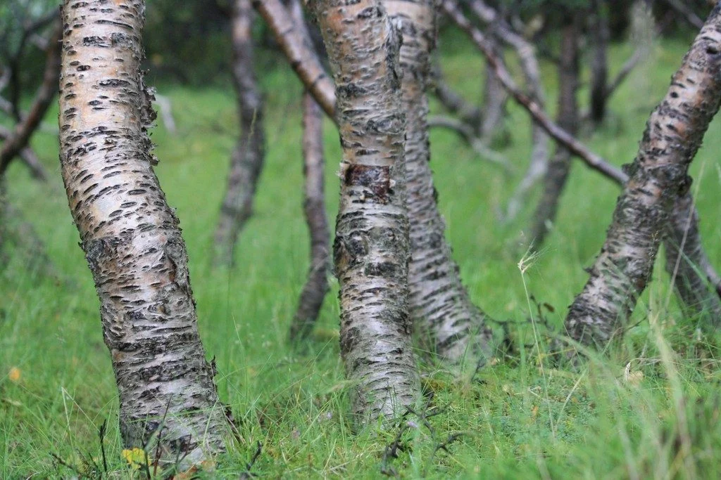
Iceland is a country of dramatically rugged landscapes. The region is home to sweeping valleys and mountain ranges, dotted with lava fields, large glaciers, hot springs and impressive waterfalls. The territory is also notoriously treeless. As of 2016, forests only made up 1.9 percent of Iceland, according to the Icelandic Forest Service. However, about a thousand years ago the country’s landscape ...[Read More]

Imaggeo on Mondays: Refuge in a cloudscape

Imaggeo on Mondays: Refuge in a cloudscape

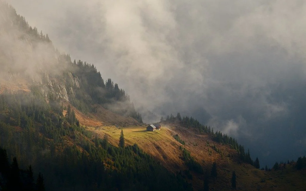
The action of glaciers combined with the structure of the rock to form this little platform, probably once a small lake enclosed between a moraine at the mountain side and the ice in the valley. Now it has become a green haven in the mountain landscape, a perfect place for an alp. In the Alps, stratus clouds opening up on autumn mornings often create gorgeous light display. That day, some of the f ...[Read More]

Imaggeo on Mondays: Cordillera de la Sal

Imaggeo on Mondays: Cordillera de la Sal

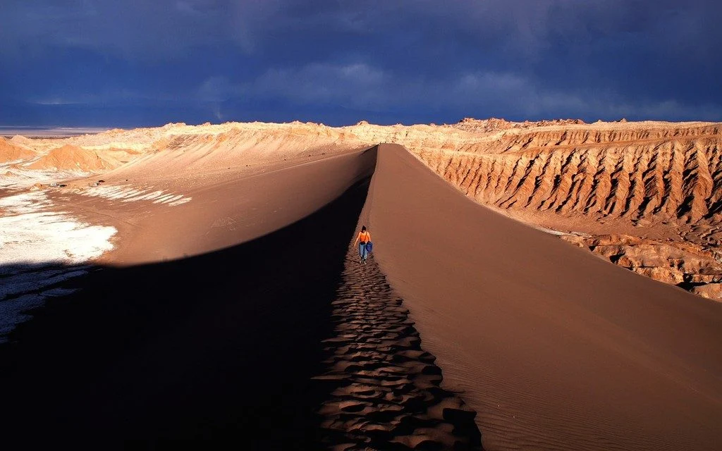
The photograph shows the Valle de la Luna, part of the amazing Cordillera de la Sal mountain range in northern Chile. Rising only 200 metres above the basin of the Salar de Atacama salt flat, the ridges of the Cordillera de la Sal represent a strongly folded sequence of clastic sediments and evapourites (salt can be seen in the left portion of the image), with interspersed volcanic material. This ...[Read More]

Announcing the winners of the EGU Photo Competition 2018!

The selection committee received over 600 photos for this year’s EGU Photo Contest, covering fields across the geosciences. Participants at the 2018 General Assembly have been voting for their favourites throughout the week  of the conference and there are three clear winners. Congratulations to 2018’s fantastic photographers!   ‘Foehn clouds in Patagonia,’ by Christoph Mayr (dist ...[Read More]