GeoLog

Imaggeo

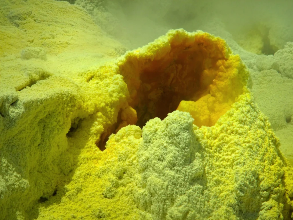
Imaggeo On Mondays: Sulphur volcano
Imaggeo On Mondays: Sulphur volcano
This photograph was taken in 2012 on a guided tour to Whakaari/White Island, an active volcano 50 km off the east coast of the North Island of New Zealand. The volcano lies on the northern end of the Taupo Volcanic zone and has possibly been active for the past 150,000 years. How dangerous this island is, was demonstrated by a number of explosive eruptions in recent history, the latest of which oc ...[Read More]

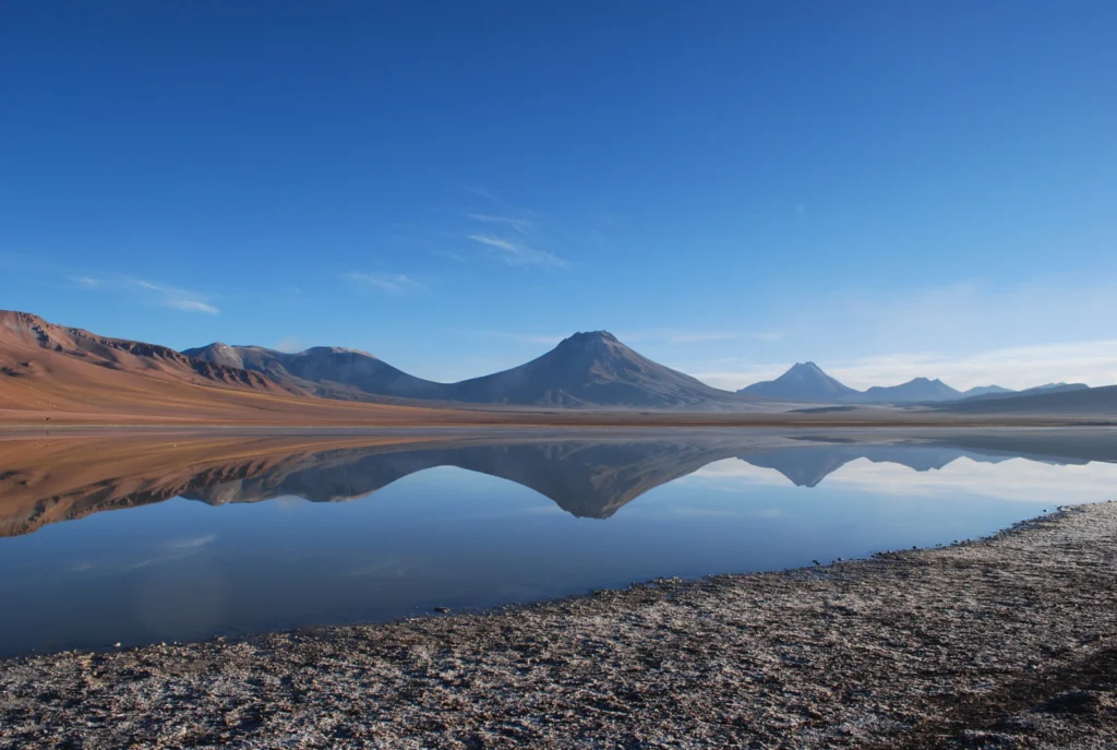
Imaggeo on Mondays: The mirror of the volcano

Imaggeo on Mondays: The mirror of the volcano

Lascar volcano is located in the Antofagasta Region of Chile. This stratovolcano (a conical volcano built up over time through successive eruptions of lava, tephra and ash) of the Central Volcanic Zone of the Andes is the most active volcano of the region, with a height of 5.592 m (18,34 ft). The last phase of eruptive activity before this photo was taken was on October 30, 2015, which produced an ...[Read More]

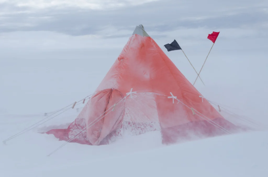
Imaggeo on Monday: Time-proven shelter in drifting snow

Imaggeo on Monday: Time-proven shelter in drifting snow

During my PhD I was working at the German Neumayer III station in Antarctica for my research on polar atmospheric chemistry. Since my instrument was set up on an observatory south of the main station, every day I would walk past a Scott pyramid tent to go and do my research. One day, in the midst of an Antarctic storm, I caught sight of the tent deep in the drifting snow, and took this picture. Th ...[Read More]

Imaggeo on Mondays: Tertiary Flying Saucers

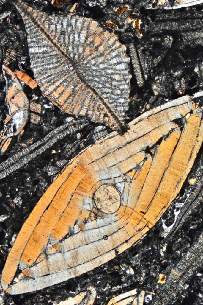
Imaggeo on Mondays: Tertiary Flying Saucers

Besides for the purposes of documenting my research, I like to take photos of rocks under the microscope also because of their aesthetic appeal. It’s an hidden, marvelous world. These flying-saucer-looking objects are in fact the fossil skeletons of a Nummulites (the larger) and a Discocyclina (the one on top left), both belong to the phylum of Foraminifera. These single-celled organisms occupyied ...[Read More]

Imaggeo on Mondays: The Tempest

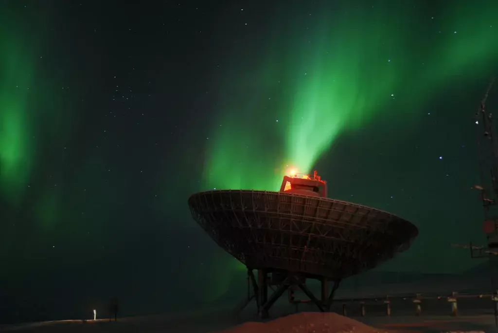
Imaggeo on Mondays: The Tempest

Measuring the aurora. This picture was taken while doing an optical/radar coordinated campaign in Svalbard, Norway, near the settlement of Longyearbyen. In this campaign, we were measuring for the first time the polarisation of the auroral ‘red line’ of atomic oxygen with a photopolarimeter and were running the radars in order to have a better understanding of the state of the ionosphe ...[Read More]

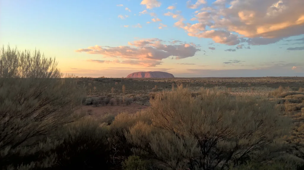
Imaggeo on Mondays: The sun rises also in the middle of nowhere

Imaggeo on Mondays: The sun rises also in the middle of nowhere

Uluru in Australia is one of the most visibly recognisable geological features in the world. This sandstone formation covers an area of 3.3 kilometres and stands 345 metres above the plains around it. According to geoscientists, the rocks that form Uluru were deposited in an inland sea during the Cambrian Period approximately 500 million years ago. The arkose sandstones were then uplifted and fold ...[Read More]

Imaggeo on Mondays: Cooking crystals in the Earth cauldron

Imaggeo on Mondays: Cooking crystals in the Earth cauldron

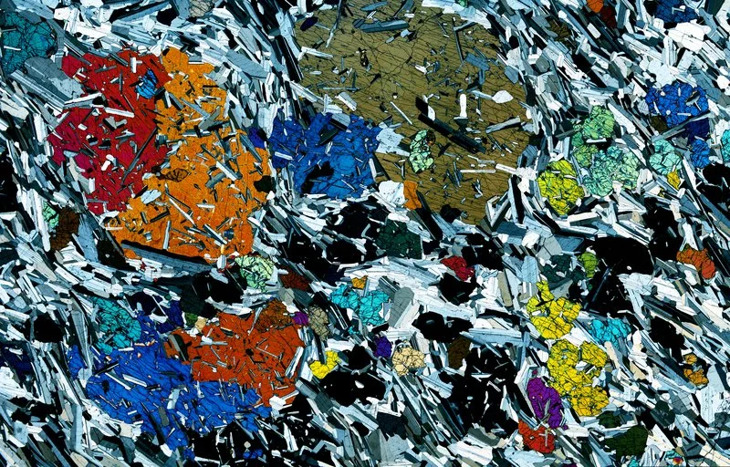
This picture shows a 30 micrometer thick rock section of a gabbro from the Rum Layered Intrusion (Scotland). Large clinopyroxene crystals are enclosed in a foliated fine grained groundmass of plagioclase and olivine. The clinopyroxene core crystallized at an early stage, at 1160°C. They were partly molten at 1200°C during successive hot magma injections and subsequently recrystallized, enclosing h ...[Read More]

Imaggeo On Mondays: Contrasting Colors of Pinnacles and Mountains

Imaggeo On Mondays: Contrasting Colors of Pinnacles and Mountains

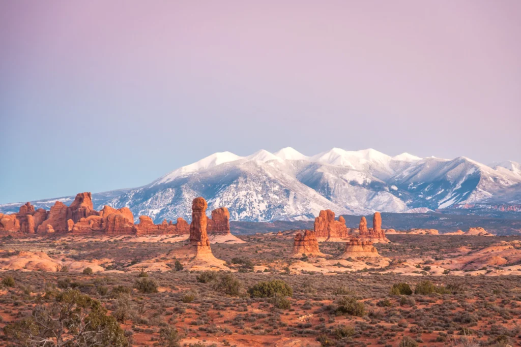
Despite its rugged appearance of sandstone pinnacles and arches, the ecosystem of Arches National Park in Utah, U.S.A. is very fragile. Beyond the normal ‘high desert’ environment, this beautiful landscape is home to microbial communities in the soil called cryptobiotic crusts. These biological soil crusts are very vulnerable to damage and when harmed they can take years to grow back. These barren ...[Read More]

Imaggeo on Mondays: Santorini cliffs sculpted by wind and sea

Imaggeo on Mondays: Santorini cliffs sculpted by wind and sea

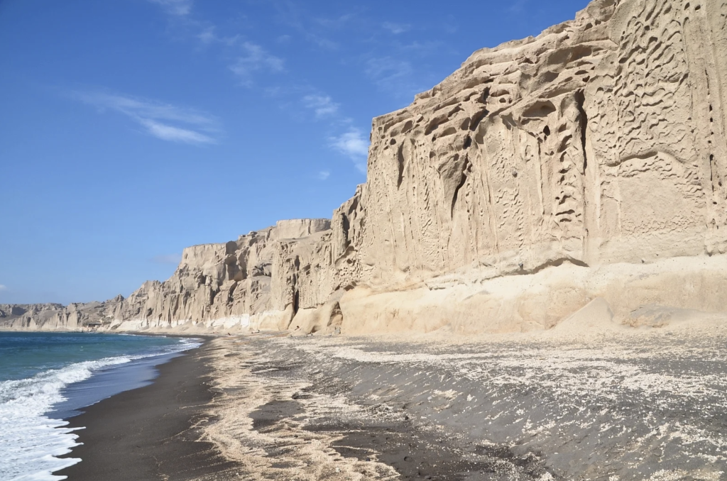
The cliffs look like a bas-relief sculpted by a tireless artist. Naturally carved by the wind and sea, Vlychada’s white cliffs border its black sands, on the southern shore of Thera (Santorini), Greece. Both are of volcanic origin. The material originates from the Late Bronze Age eruption around 1600 BCE, which also buried the prosperous Akrotiri settlement. This massive Plinian eruption led to th ...[Read More]