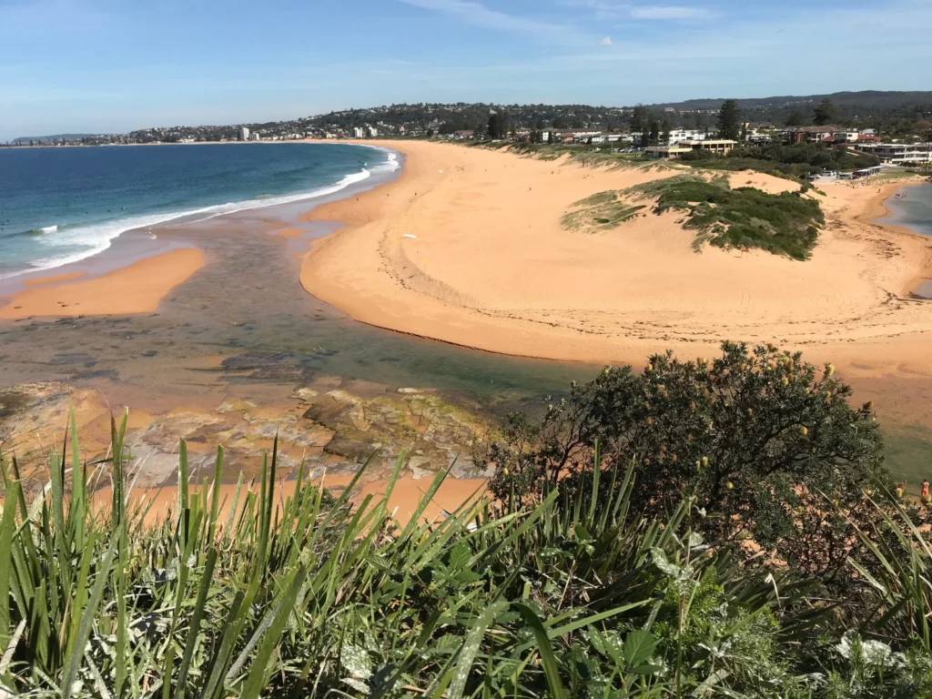
Narrabeen–Collaroy Beach in New South Wales, Australia, just north of Sydney, is home to one of the longest-running shoreline-measurement programmes in the world. With colleagues at the University of New South Wales (UNSW) Sydney, Eli Lazarus, an associate professor in geomorphology at the University of Southampton, UK, has been analysing over 40 years of data …[Read More]
Geoscientific Methods
Imaggeo on Mondays: Science above the Amazon rainforest
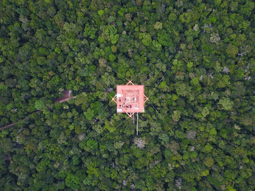
The color and symmetry of the Amazon Tall Tower Observatory (ATTO) sticks out against the endless green of the rainforest. Built in a remote and pristine location, the ATTO tower is the tallest construction in South America. In a joint Brazilian-German project, atmospheric scientists aim to unravel the interaction of pristine rainforest with the atmosphere. …[Read More]
How to increase reproducibility and transparency in your research
Contemporary science faces many challenges in publishing results that are reproducible. This is due to increased usage of data and digital technologies as well as heightened demands for scholarly communication. These challenges have led to widespread calls for more research transparency, accessibility, and reproducibility from the science community. This article presents current findings and solutions …[Read More]
Imaggeo on Mondays: The calm before the storm
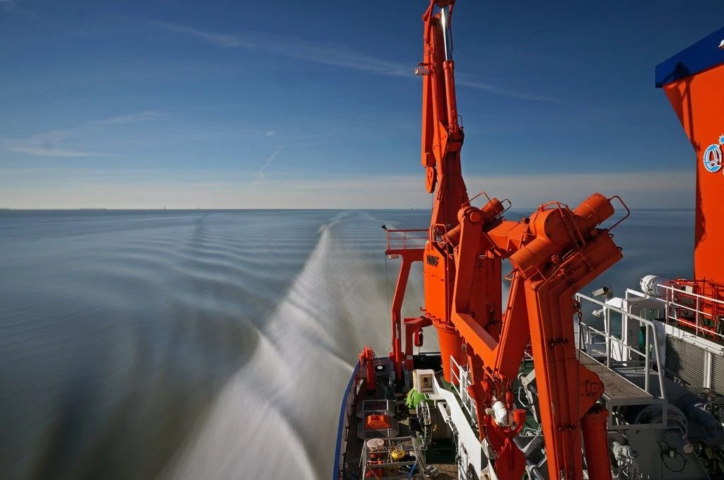
The picture was taken during the 2015 research cruise HE441 in the southern German Bight, North Sea. It features the research vessel Heincke, on a remarkably calm and warm spring day, forming a seemingly steady wake. The roughly 55 metre long FS Heincke, owned by the German federal government and operated by the Alfred Wegener …[Read More]
Imaggeo on Mondays: Crowned elephant seals do citizen science
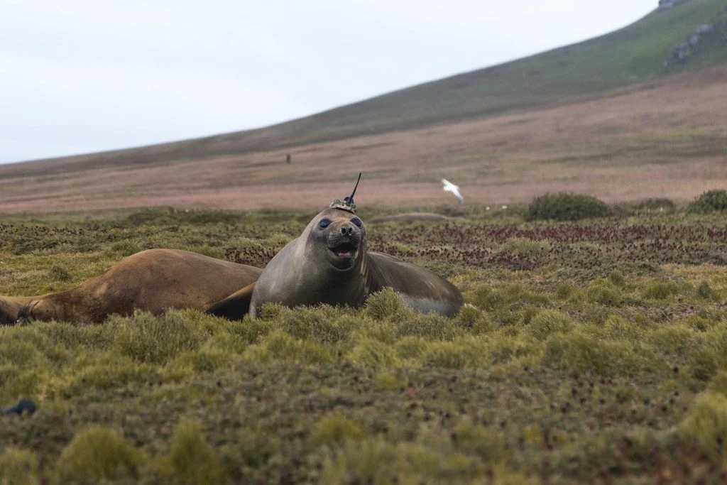
In the Southern Ocean and North Pacific lives a peculiar type of elephant seal. This group acts like any other marine mammal; they dive deep into the ocean, chow down on fish, and sunbathe on the beach. However, they do all this with scientific instruments attached to their heads. While the seals carry out their …[Read More]
Imaggeo on Mondays: The best of imaggeo in 2018
Imaggeo, our open access image repository, is packed with beautiful images showcasing the best of the Earth, space and planetary sciences. Throughout the year we use the photographs submitted to the repository to illustrate our social media and blog posts. For the past few years we’ve celebrated the end of the year by rounding-up some …[Read More]
How to forecast the future with climate models
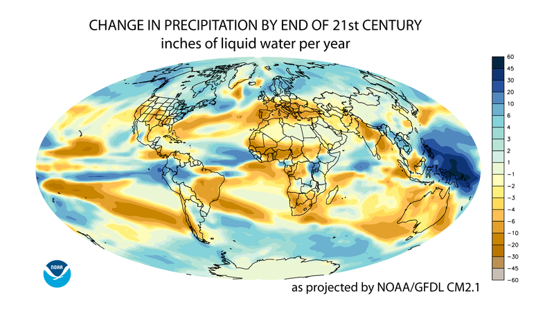
Our climate is constantly changing, and with the help of simulation modelling, scientists are working hard to better understand just how these conditions will change and how it will affect society. Science journalist Conor Paul Purcell has worked on Earth System Models during his time as a PhD student and postdoctoral researcher; today he explains …[Read More]
GeoTalk: To understand how ice sheets flow, look at the bedrock below
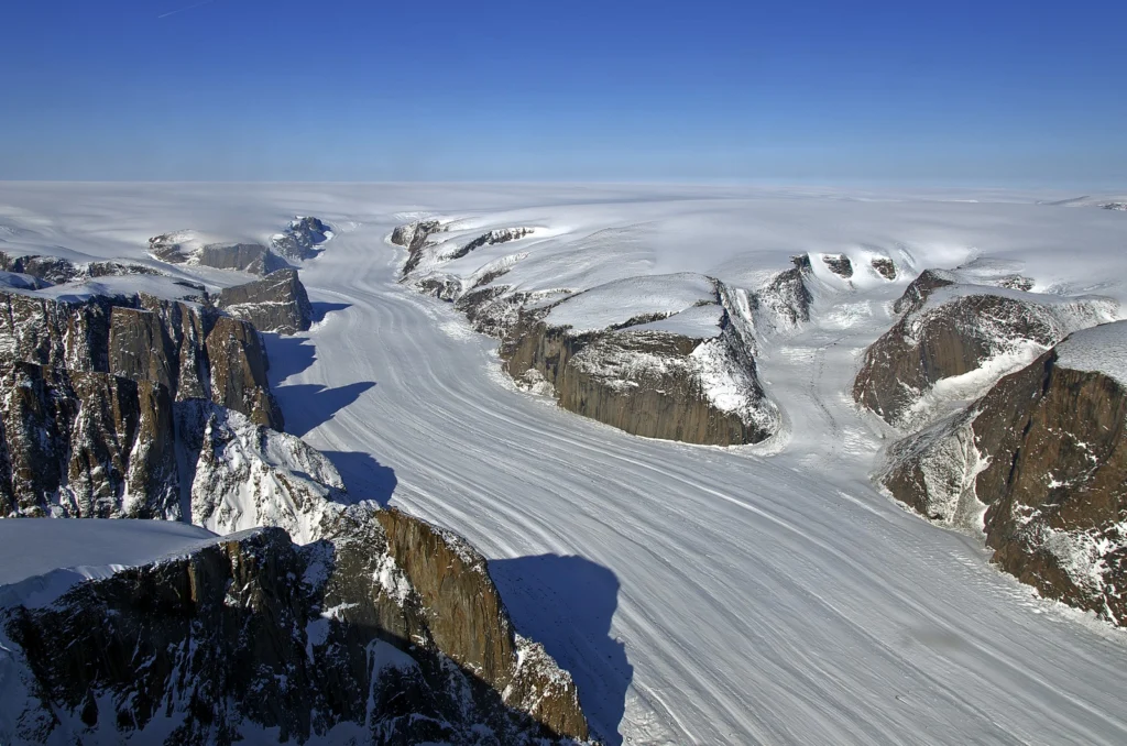
Geotalk is a regular feature highlighting early career researchers and their work. In this interview we speak to Mathieu Morlighem, an associate professor of Earth System Science at the University of California, Irvine who uses models to better understand ongoing changes in the Cryosphere. At the General Assembly he was the recipient of a 2018 …[Read More]
Imaggeo on Mondays: Hints of an eruption
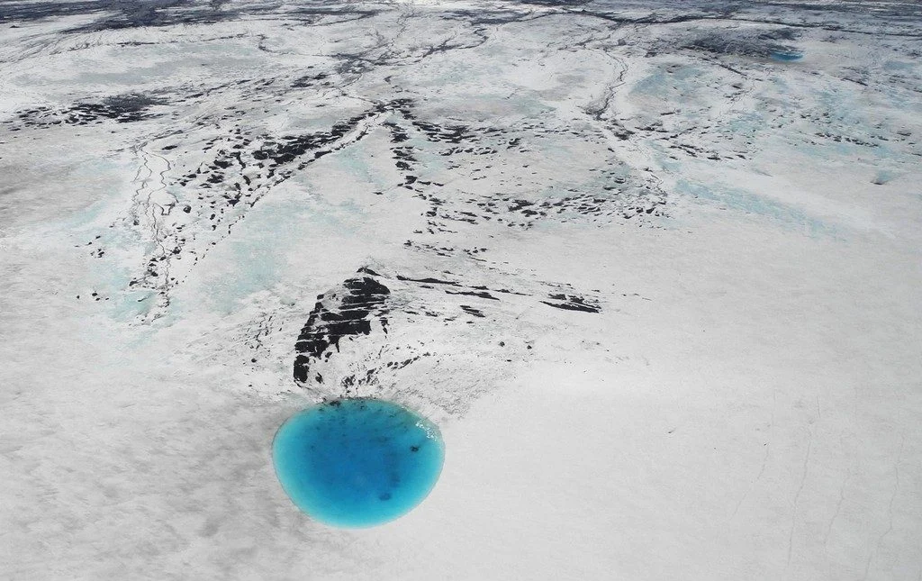
The photograph shows water that accumulated in a depression on the ice surface of Vatnajökull glacier in southeastern Iceland. This 700m wide and 30m deep depression [1], scientifically called an ‘ice cauldron’, is surrounded by circular crevasses on the ice surface and is located on the glacier tongue Dyngjujökull, an outlet glacier of Vatnajökull. The …[Read More]
Imaggeo on Mondays: Probing the Pliocene
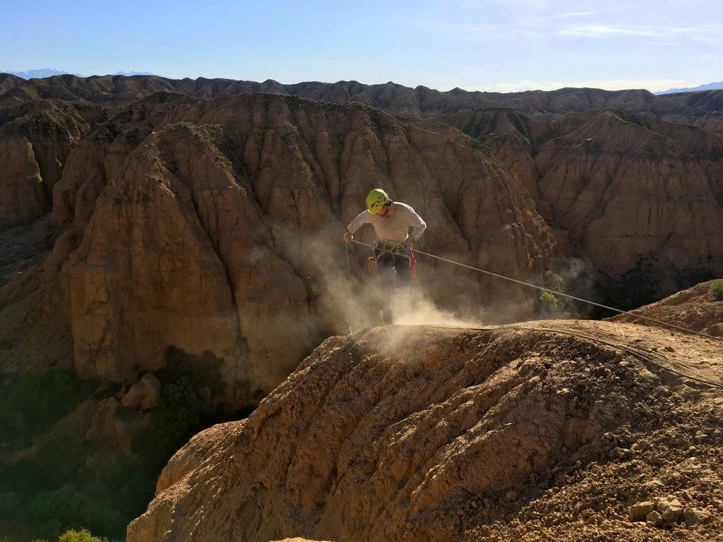
The heights we go to for science… This photograph shows a member of our team preparing to abseil down a cliff in the Charyn Canyon, in the Ili River basin of southeast Kazakhstan. The Charyn River and its tributaries, a branch of the Ili River north of the Tien Shan Mountains, have cut canyons up …[Read More]