Every year on 21 June, the global scientific community celebrates World Hydrology Day to highlight the importance of water sciences play in sustainable resource management and natural hazard mitigation. Historically, human efforts to protect and manage freshwater have suffered from a blind spot. While we can easily measure a river’s flow at a specific gauging station, predicting how an untouched, ungauged valley will respond to a heavy storm or a prolonged drought has remained notoriously difficult. We have long relied on static physical maps and assumed that similar soils or forests must behave the same way, but things are rarely that simple…
This month a team of scientists has published a paper in Hydrology and Earth System Sciences that changes how we can map and predict water behavior. Led by Ryoko Araki, a researcher in the joint doctoral program at San Diego State University and UC Santa Barbara, the study delivers a comprehensive, observation-based map of dominant hydrological processes across the contiguous United States.
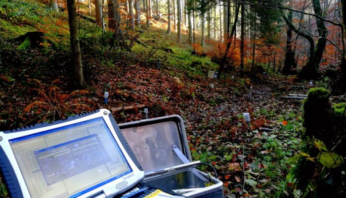
To build this map, the authors compiled daily hydroclimatic records from 14,146 watersheds using the Caravan, a global open-source hydroclimatic database, and GAGES-II, a dataset maintained by the USGS. This resulted in a sample size roughly ten times larger than most previous continental-scale studies, which gave the scientists the opportunity to capture the true diversity of the continent’s landscape. Instead of treating streamflow as a single, blunt metric, the researchers calculated so-called ‘hydrologic signatures’. These signatures are statistical properties of river flow, such as: how quickly a river recedes after a storm; how much flow is sustained by groundwater during dry spells; and how often a basin experiences extreme high-flow events. Collectively, these signatures act as a functional fingerprint and therefore reveal the hidden flow patterns of the landscape.
Mapping the continent’s hidden plumbing?
When the authors plotted these signatures across the country, striking regional patterns emerged that prove that hydrology operates on vast, predictable gradients.
In the East, they traced a hydrological transition along the elevation gradient. High up in the rugged Appalachian spine, rivers are heavily sustained by deep baseflow and display slow yet complex recession rates. As you move down into the rolling hills of the Piedmont, the thin soils store very little water, leading to fast, flashy runoff. Once you reach the sandy aquifers of the Eastern Coastal Plain, the system shifts back to slow, groundwater-dominated baseflow.
In the Midwest, a massive outer ring of peculiar water behaviour traces the edge of ancient glacial sheets. Near the Great Lakes, sandy glacial soils absorb rain like a sponge and keep streamflow steady all year! Further south and west, where the soils turn to heavy, poorly drained clay, the landscape behaves entirely differently, as it actually sheds water quickly and produces intense runoff events.
In the west, the contrast is even more dramatic. Coastal mountain ranges experience heavy, wet winters with rapid surface runoff. Just a few miles inland, across the Cascade and Sierra Nevada crests, hydrology is dictated by massive winter snowpacks that slowly release water throughout the dry summer months.
The East-West divide: Who is in the driver’s seat?
Perhaps the most significant breakthrough of the study is how it reveals the real, complex drivers of these water patterns. For years, most large-scale computer models have operated under the assumption that climate is the dominant influence on hydrology, but when the team trained a random forest machine-learning model to predict these water fingerprints, they discovered a divide between the two halves of the continent.
In the western United States, climate indeed reigns supreme. Attributes like snow fraction, aridity, and precipitation seasonality are the primary controls on how watersheds behave. If the climate shifts, the water cycle shifts almost immediately. In the eastern United States, the physical landscape itself is in the driver’s seat. Here, soil texture, geological age, and topography play a far more dominant role in shaping water pathways than local weather patterns. In these watersheds, the physical structure of the earth acts as a powerful buffer, filtering and shaping how water moves regardless of short-term climate variability.
The model also highlighted a third, highly localized driver: human activity. In major metropolitan areas across the East and Midwest, population density and built infrastructure became the dominant predictors of streamflow signatures, easily overriding natural soils and geology to create fast, artificial, and flashier runoff patterns.
Why does this new map matter for our water future?
This study has (as you have probably guessed by now) some valuable implications for how we manage water in an era of rapid environmental change. For hydrological modelling, it provides a much-needed reality check. Modern flood-forecasting and climate-prediction systems frequently struggle with structural biases, simulating water pathways that do not match reality. By comparing these models against the team’s empirical process maps, scientists can quickly identify where their simulations are structurally flawed; such as modelling a groundwater-dependent basin as a fast surface-runoff zone.
For water managers and urban planners, the maps offer a guide towards an even more effective climate resilience. In the climate-controlled west, water systems are vulnerable to rising temperatures that shrink mountain snowpacks. In the landscape-controlled East, water security is closely tied to land-use decisions. Paving over a recharge zone or draining a wetland in a geology-driven watershed will have immediate impacts on local water supplies and flood risks.
Final reflections
Science never ceases to impress! For decades, many researchers and water managers viewed water management through a narrow lens that often forced nature’s complex plumbing into simplified and generalised boxes. Yet once we let data from over 14,000 watersheds speak for itself, this study shows that protecting our water future requires us to listen to the rhythm of the landscape; literally! It seems like there is no one-size-fits-all solution, the variation inherent in the system needs to be met with equally variable and flexible policies. This is because a policy that secures water in the snow-dependent land (the west) will totally miss the mark in the geology-driven East, hence the need for specialised, regional-specific investigations AND legislation.
In the meantime, happy World Hydrology Day, and if you’re in the Northern Hemisphere or it’s hot where you live: Don’t forget to hydrate!