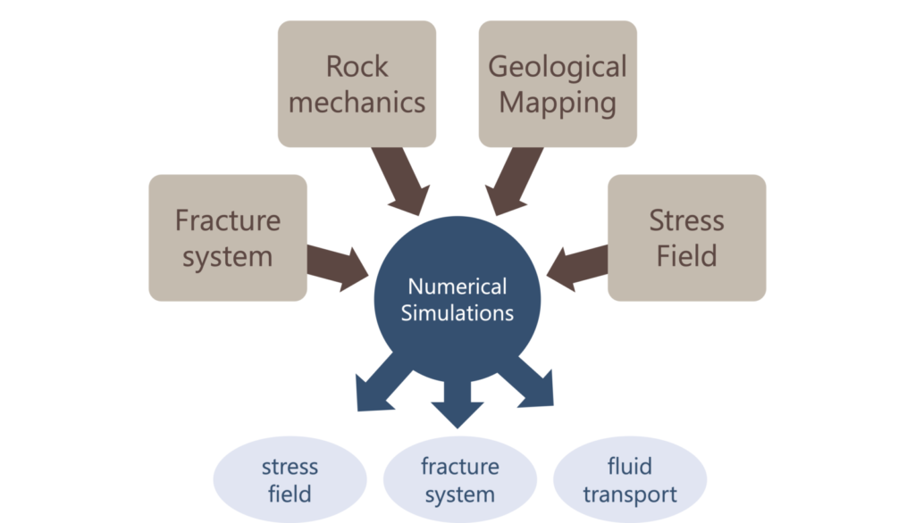
Imagine harnessing the Earth’s natural warmth to heat our homes and generate clean electricity. That is the promise of geothermal energy. It taps into the heat from beneath the Earth’s surface, providing a consistent and low-carbon power source. Geothermal energy plays a crucial role in reducing carbon emissions because it produces very little greenhouse gas …[Read More]
Structural Geology
Faults vs. Fractures — How to Tell Them Apart ?
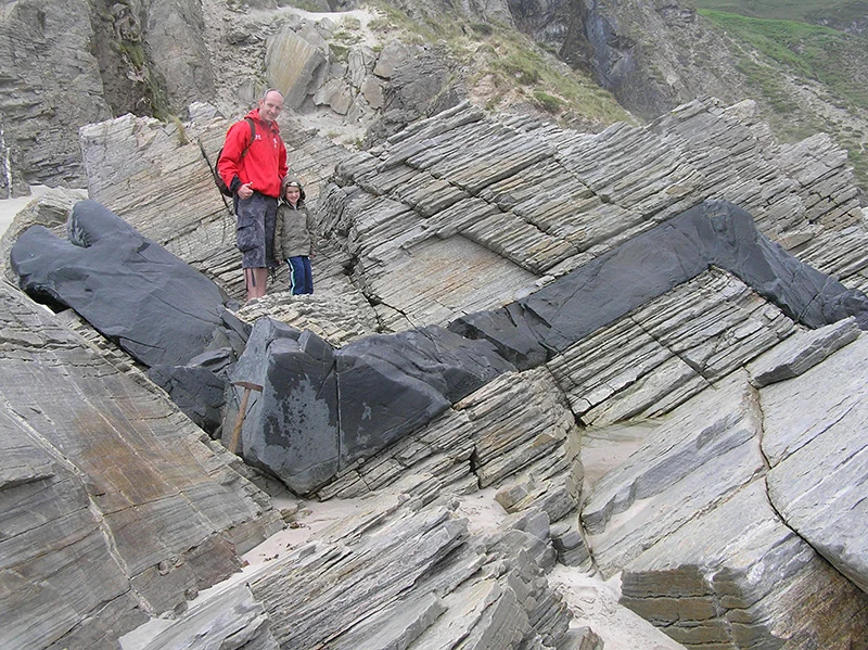
Faults and fractures can sometimes be confusing, especially for students taking their first geology courses. When they go hiking in the mountains and see a crack in the rock, they often wonder — is this a fracture or a fault? Even scientists sometimes mix the two terms, so it’s good to understand the difference. Since …[Read More]
Throwback Summer – retracing student steps at the Pic Saint-Loup, France
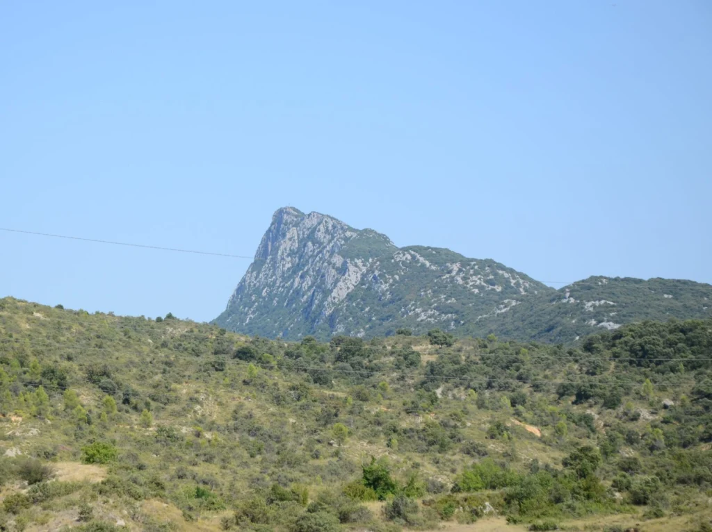
The region around the Pic Saint-Loup is a popular destination for many European universities to teach mapping field courses – and there is a reason for it, even besides the great landscape, good food and nice weather. Let’s take a tour to discover why! The Pic Saint-Loup itself is indeed so impressive that some former …[Read More]
Features from the Field: Dikes and Sills
Volcanoes are everywhere along plate margins and on hot spots on the planet’s surface. Just in the past 2 years, we have witnessed enormous explosive eruptions such as that of the Hunga Tonga volcano which released an amount of energy equivalent to hundreds of atomic bombs, and massive lava flows, as at the Cumbre Vieja …[Read More]
Features from the Field: Sheath Folds
Shear zones are areas of intense deformation that localize the movement of one block of the crust with respect to another. In previous posts, we have seen that shear zones contain some very deformed rocks called mylonites, lineations that tell us the direction of movement, and useful kinematic indicators, such as S-C fabrics, that allow …[Read More]
Features from the Field: Stretching Lineations
Deep beneath our feet, deformation of rocks at high temperature produces impressive structures such as shear zones, that localize the movement of two volumes of rock with respect to one another. Shear zones are strongly deformed bands with strongly foliated structures (i.e., with rocks that look like a pile of leaves) and kinematic indicators, such …[Read More]
Features from the Field: Shear Zones and Mylonites
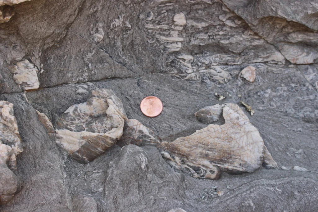
The San Andreas Fault in California, the Alpine Fault in New Zealand, or the Main Frontal Thrust in the Himalayas are some of the most famous and largest fault zones that accommodate the relative displacement between two adjacent crustal blocks. Such faults, however, represent only the shallower expression of something much bigger: a crustal shear …[Read More]
TS Must-Read – Ramsay (1980) Shear zone geometry: a review
Ramsay’s 1980 important contribution is a practical and theoretical handbook about shear zones, where the reader can find a detailed classification of shear zones, their description, and mathematical explanation. A definition of the concept of shear zones opens the article, followed by the shear zones classification into three types, namely brittle (e.g., Fig. 1a), brittle-ductile …[Read More]
#OnTheRocks – Because Earth is just beautiful!
From the time the first Kodak camera in 1888 went on sale we can say with confidence a geologist somewhere was trying to capture field photographs. We love to capture the beauty of the field and every geologist has a story to tell. The EGU would like to connect these stories globally in our new …[Read More]
Franciszka Szymakowska (05/02/1927 – 2007): the woman whose drawings unraveled the geological history of the Carpathians
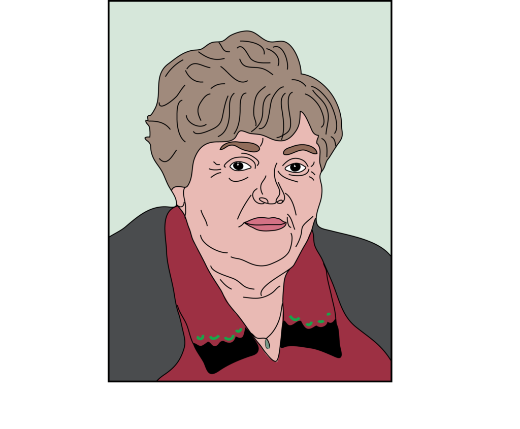
Franciszka Szymakowska was born on the 5th of February in 1927 in Krakow. She was lovingly known as “Niusia” (Antoni 2007). About her early life, not much is known. Franciszka did her studies at the Faculty of Mathematics and Natural Sciences of the Jagiellonian University and graduated in 1952. During her studies, she started …[Read More]