EGU Blogs

Division blogs

GM
Geomorphology

Time to travel – the ERASMUS program turns 30 this year
Time to travel – the ERASMUS program turns 30 this year
The mobility program of the European Union, named after Erasmus of Rotterdam who studied in different places all over Europe, turns 30 this year. I wanted to take this opportunity to promote this great possibility for gathering international experience and getting insights into the teaching and research skills of our European colleagues. The ERASMUS program, …[Read More]

GD
Geodynamics

Going with the toroidal mantle flow

Going with the toroidal mantle flow

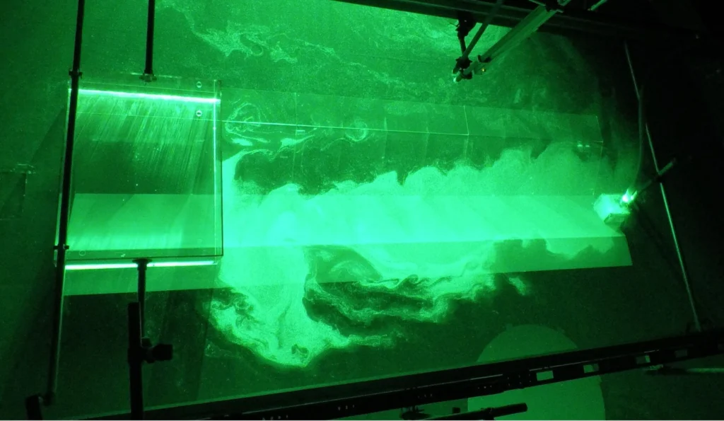
Subduction zones host one of the most complex and fascinating tectonic systems on the planet. Numerical models by Király and colleagues recently published in Earth and Planetary Science Letters reveal that the strength of the toroidal flow depends on the mantle viscosity and the magnitude of the slab pull force while the characteristic size of …[Read More]

GD
Geodynamics

Planting seeds of deformation in numerical models

Planting seeds of deformation in numerical models

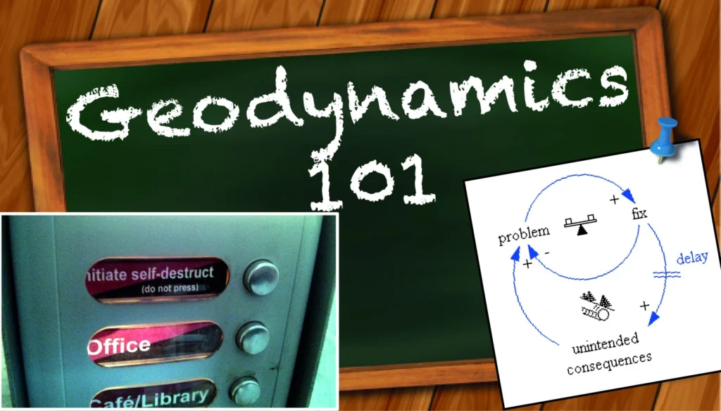
The Geodynamics 101 series serves to showcase the diversity of research topics and methods in the geodynamics community in an understandable manner. We welcome all researchers – PhD students to Professors – to introduce their area of expertise in a lighthearted, entertaining manner and touch upon some of the outstanding questions and problems related to …[Read More]

CL
Climate: Past, Present & Future

Decomposing algae have not said their last word yet!

Decomposing algae have not said their last word yet!

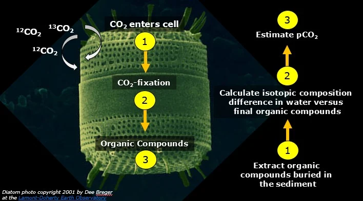
Name of proxy Phytane, a compound resulting from the degradation of Chlorophyll-a (Chl a), a green pigment in plants and algae that is involved in photosynthesis Type of record Atmospheric carbon dioxide concentrations Paleoenvironment Marine sediments and oils Period of time investigated Phanerozoic (last 540 million years) How it works Before we can start predicting …[Read More]

CR
Cryospheric Sciences

Mapping the bottom of the world — an Interview with Brad Herried, Antarctic Cartographer

Mapping the bottom of the world — an Interview with Brad Herried, Antarctic Cartographer

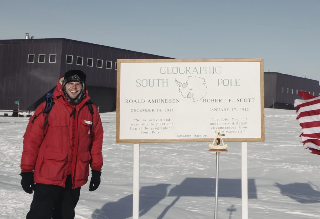
Mapping Earth’s most remote continent presents a number of unique challenges. Antarctic cartographers and scientists are using some of the most advanced mapping technologies available to get a clearer picture of the continent. We asked Brad Herried, a Cartographer and Web Developer at the Polar Geospatial Center at the University of Minnesota, a few questions …[Read More]