Recent work published in my department at the Geological Survey of Denmark and Greenland (GEUS) focused on solid ice discharge into the ocean from the Greenland Ice Sheet from 1986 to 2017 (Mankoff et al. 2019). Solid ice discharge is the ice that is lost from a glacier as it flows towards the coast and eventually breaks off as icebergs into the ocean (i.e. calving). Solid ice discharge is an impo ...[Read More]
Cryospheric Sciences
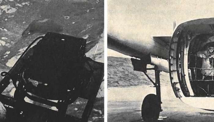
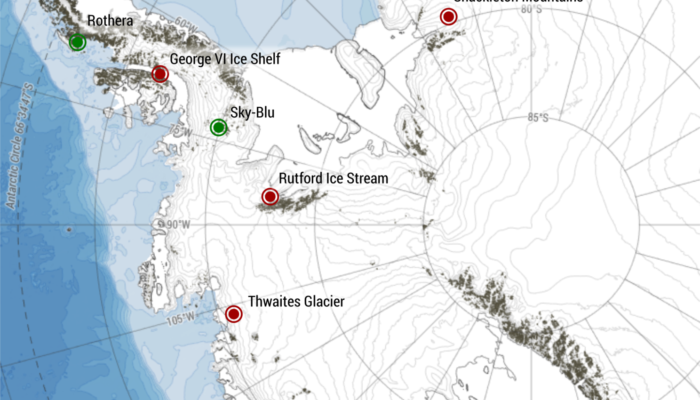
Cryo History – How airborne glaciologists measured the movement of glaciers before the satellite era