The 2023 General Assembly is gaining momentum. Did you ever consider taking part as a mentor (or mentee) in EGU’s mentoring programme? If you ask me, it’s a nice opportunity to increase the odds of being a positive influence to someone, and you may learn some things in the process too. Who’s your positive influence? Here’s a mental exercise: name 3 people who positively influenced your care ...[Read More]
Planting seeds with EGU’s mentoring programme
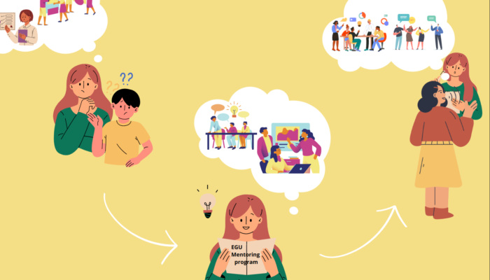
Finding your way through a conference using the EGU Mentoring Programme (Figure courtesy: Öykü Koç)