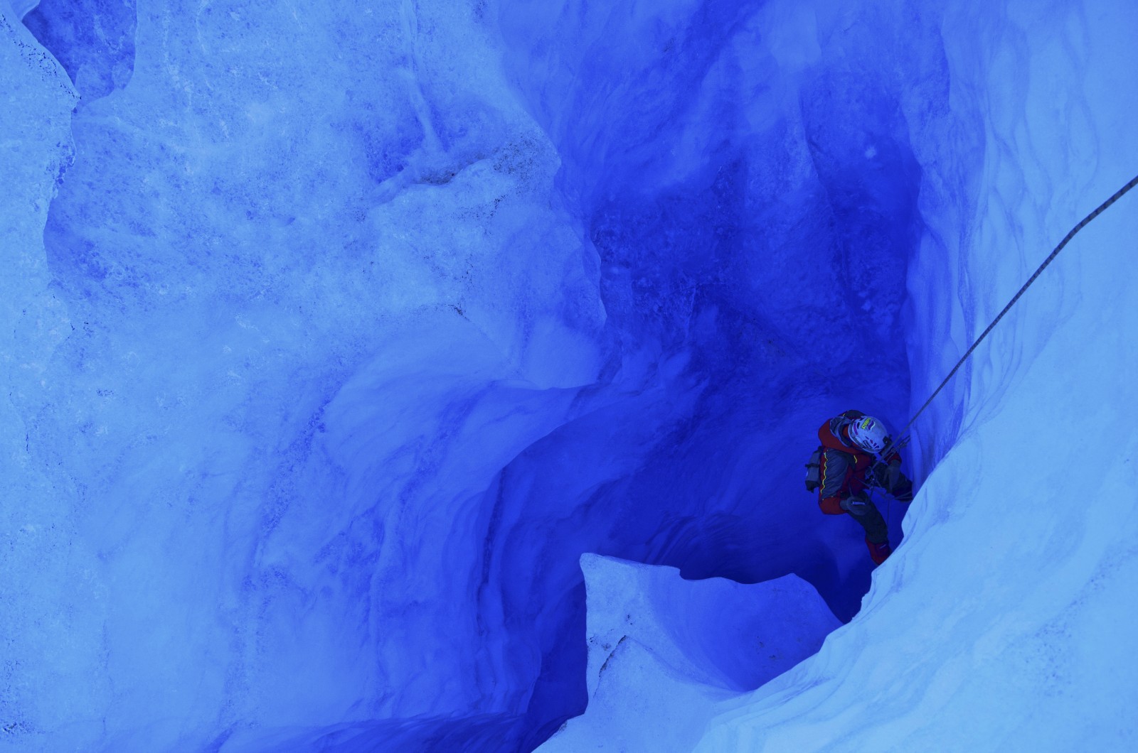
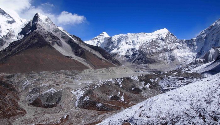
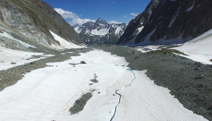
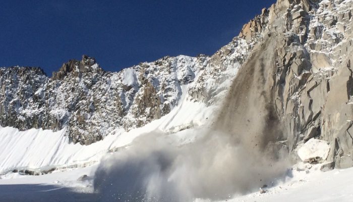
While the first week of COP22 – the climate talks in Marrakech – is coming to an end, the recent election of Donald Trump as the next President of the United States casts doubt over the fate of the Paris Agreement and more generally the global fight against climate change. In this new political context, we must not forget about the scientific evidence of climate change! Our figure of the week, tod ...[Read More]
Image of the Week – Climate Change and the Cryosphere
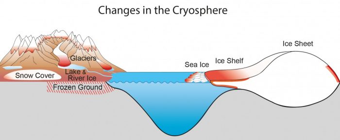
Schematic summary of the dominant observed variations in the cryosphere. [Credit: fig 4.25 from
IPCC (2013) ].