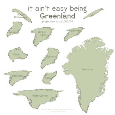
As a reader of the Cryosphere blog, you may have spent a lot of time looking at the Greenland Ice Sheet, but do you really know what Greenland looks like? This “It Ain’t Easy Being Greenland” map is something I made for fun during the #30DayMapChallenge (an international project to complete one map a day during the month of November) and highlights how different the island country appears dependin ...[Read More]
Quantarctica: Mapping Antarctica has never been so easy!
One of the most time-consuming and stressful parts of any Antarctic research project is simply making a map. Whether it’s plotting your own data points, lines, or images; making the perfect “Figure 1” for your next paper, or replying to a collaborator who says “Just show me a map!,” it seems that quick and effective map-making is a skill that we take for granted. However, finding good map data and ...[Read More]
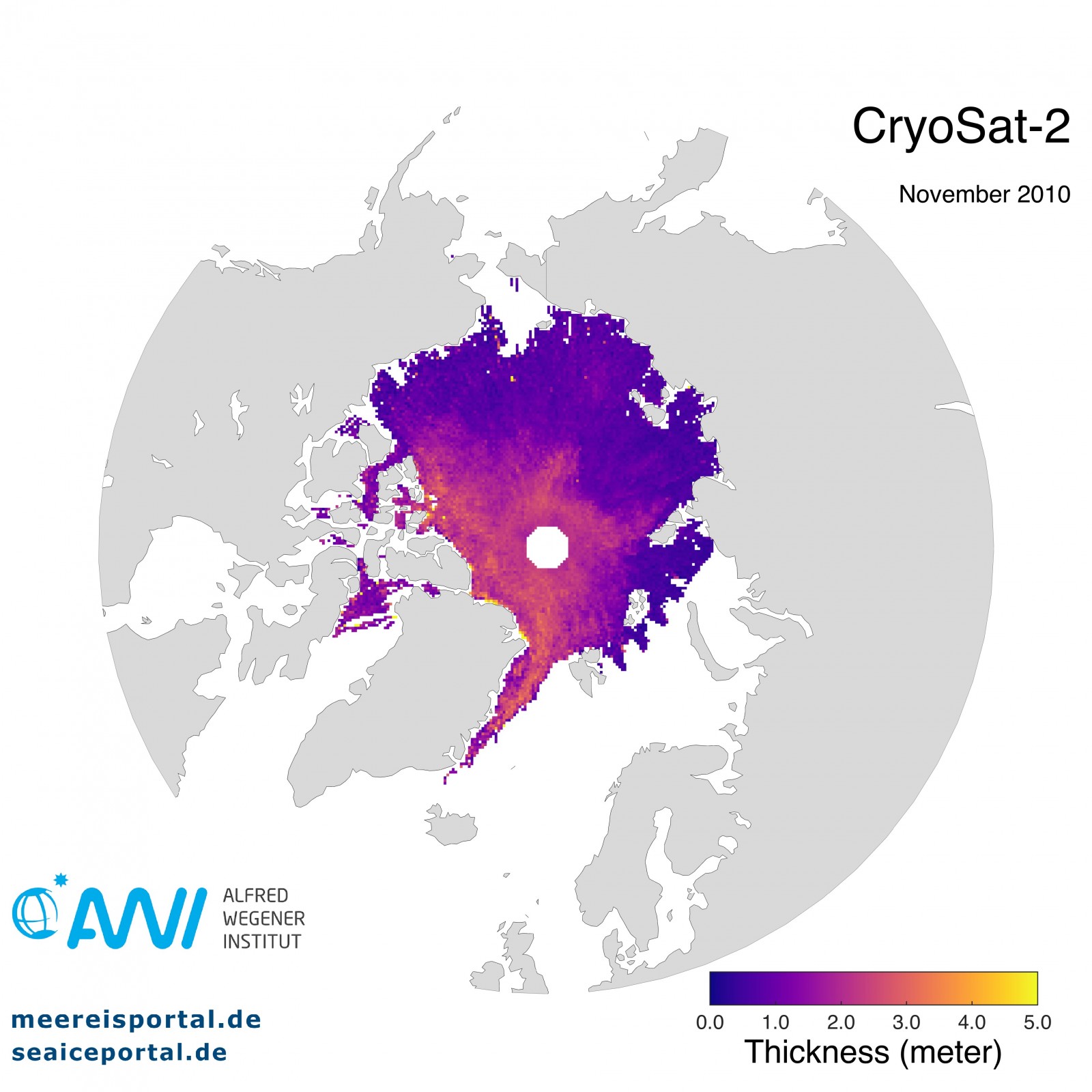
Image of the Week – The Polar Hole!

Have you ever stumbled upon a satellite picture showing observations of the Arctic or Antarctic? You often see a circle where there is no data around the exact location of the geographic pole – as you can see in our Image of the Week. A few days ago, I wanted to explain this to one of my friends and turned to my favourite search engine for help. My search turned up a tremendous amount of sto ...[Read More]


