The first time I stood on sea ice, I could not tell which direction the coast was. A community member named Bryan could. That gap in situational awareness, between what a trained remote sensing scientist could read from the landscape and what a local hunter understood instinctively, turned out to mirror almost exactly the gap in our satellite data: ICESat-2 produces reliable freeboard across the c ...[Read More]
The Arctic’s Blind Spot: Why Satellites Struggle Where Ice Meets the Coast
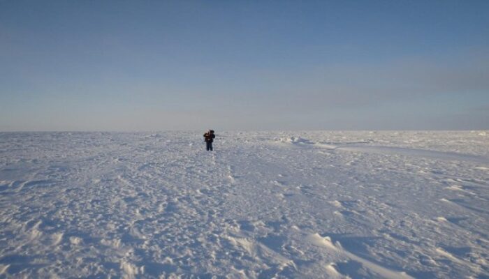
Figure 1. My first time on sea ice - Churchill, Manitoba [Credit: Julienne Stroeve]