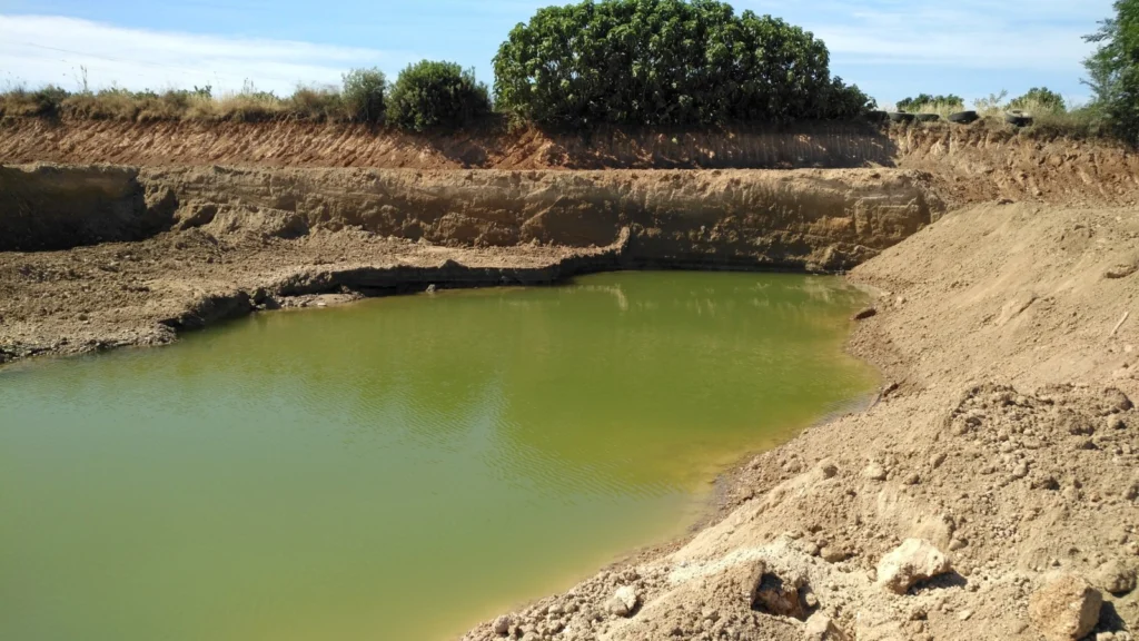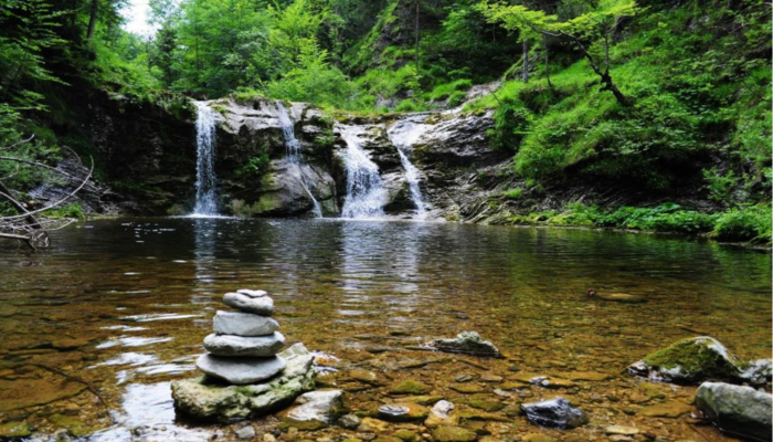
Groundwater is one of the most important resources of freshwater for ecosystems and mankind. Because of this fundamental role in the Earth’s water and energy cycles, groundwater has been declared as an essential climate variable by GCOS, the Global Climate Observing System. As with other subsurface processes, it is difficult to observe and monitor on …[Read More]
Latest posts
Carbonate Minerals: the Silent Players of Climate Change – Victoria Corcimaru for GMPV for Sustainable Development
GMPV and The Sustainable Development Goals In 2015 all United Nations Member States adopted a set of Global Goals, as a universal call to protect our planet, end poverty and ensure that all people can enjoy peace and prosperity. These are called the Sustainable Development Goals – 17 integrated goals aimed at addressing the challenges our society is …[Read More]
Looking back at our first BG campfire.
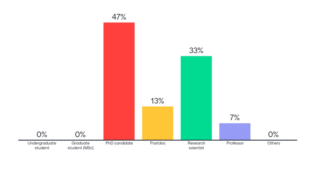
The BG division is extremely excited about including campfire events in our regular program. Campfires are informal events where we would like to bring together the biogeosciences community to discuss, learn or implement new ideas. To do so, we first wanted to know what the hottest topics are that interest our members. We celebrated the …[Read More]
Modelling the Thermal Evolution of Subduction Zones
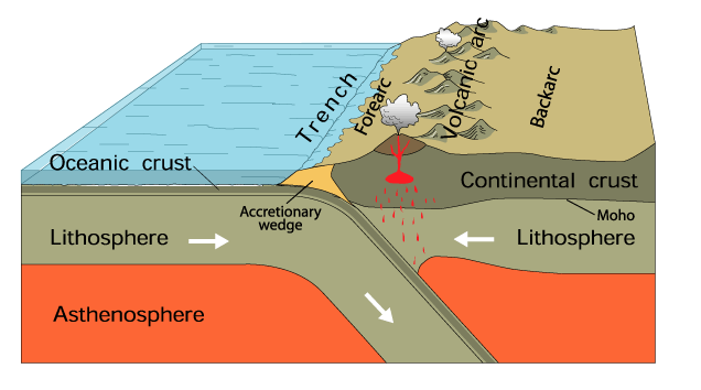
Subduction zones are as complex as they are ubiquitous. To understand subduction zone dynamics and processes we first have to understand the thermal structure of subduction zones and how this evolves in time. This week Adam Holt, Assistant Professor in the Department of Marine Geosciences (MGS) at the University of Miami Rosenstiel School of Marine …[Read More]
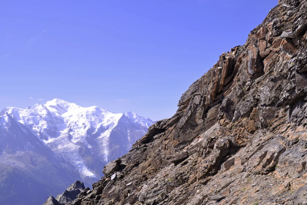
Imaggeo On Monday: Alps highest peak meets folded sea floor
During the late Jurassic, this dolostone was formerly at the sea floor, but after millions years of tectonic movements and natural forces, these rocks now appear at 3000m! Mont Blanc, the highest peak of the Alps is less than 20km away, and is visible in the background. Thank to the Alpine collision, this former sea …[Read More]
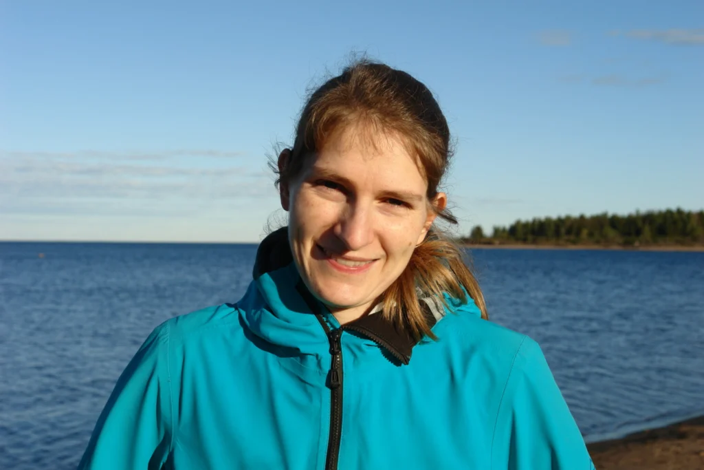
GeoTalk: Meet Rebekka Steffen, the Geodesy Division’s Early Career Scientist Representative
Hello Rebekka, thank you for taking the time to talk with us today! Could you introduce yourself to our readers? Hi. Thanks for giving me the chance to talk about my research and plans as ECS Rep for the Geodesy Division. I’m a researcher in Geodesy at Lantmäteriet, which is the Swedish mapping, cadastral, and …[Read More]
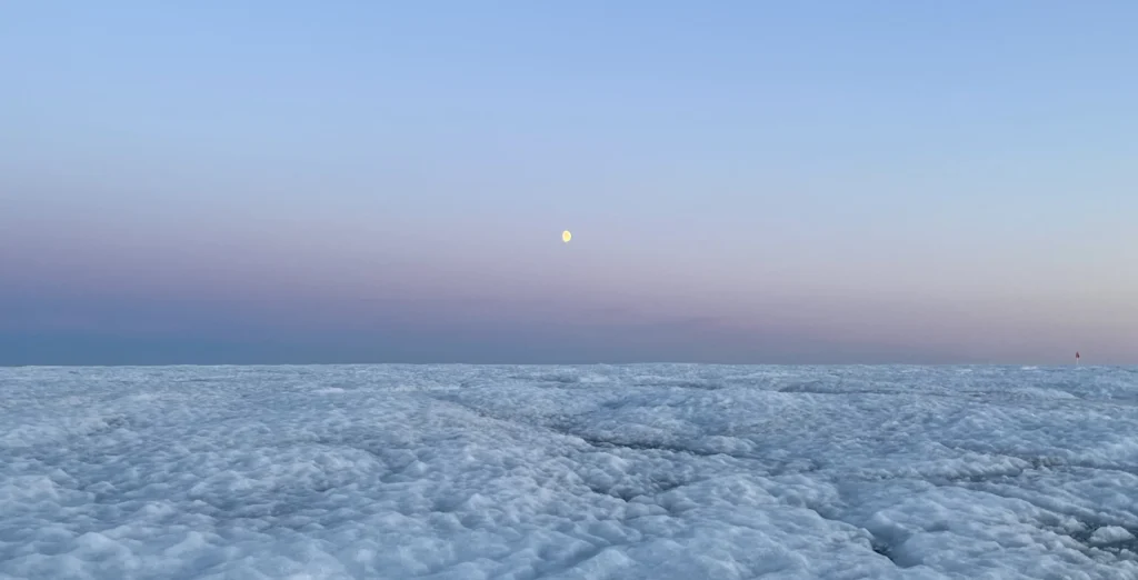
Did you know about the weathering crust? Five things you never knew about glacier surfaces
To the untrained eye, the melting surface of glaciers and ice sheets can look a little boring. It’s bright in some places, dark in others, and there are lots of things to fall over and (hopefully not) get your feet wet in. However, a huge range of processes are occurring both upon and just underneath …[Read More]
The Sassy Scientist – Difficult Coexistence
Picture yourself in the office. You are finally cracking on that paper you have been meaning to read for a long time. Here comes that one paragraph upon which the understanding of the whole paper hinges. You are almost grasping it, when the smell of soup hits your nostrils, warning you that it is lunch …[Read More]
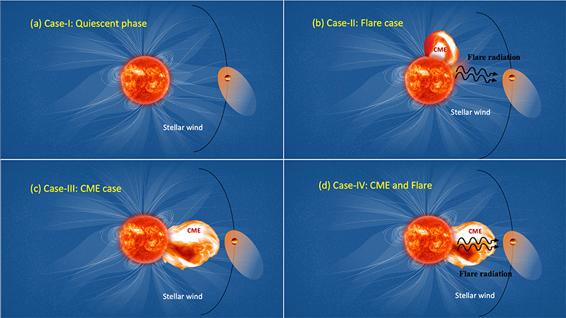
Stellar storms in other worlds: implications for the stability of exoplanetary atmospheres
Stellar storms modify the atmospheric evolution of planets. ‘Hot Jupiter’ planets being very close to their host star, are often affected by such storms. In this week’s peculiar planet, Gopal Hazra, a post-doctoral fellow at the School of Physics, Trinity College Dublin, discusses effect of stellar storms on those planets using his self-consistent hydrodynamic models …[Read More]
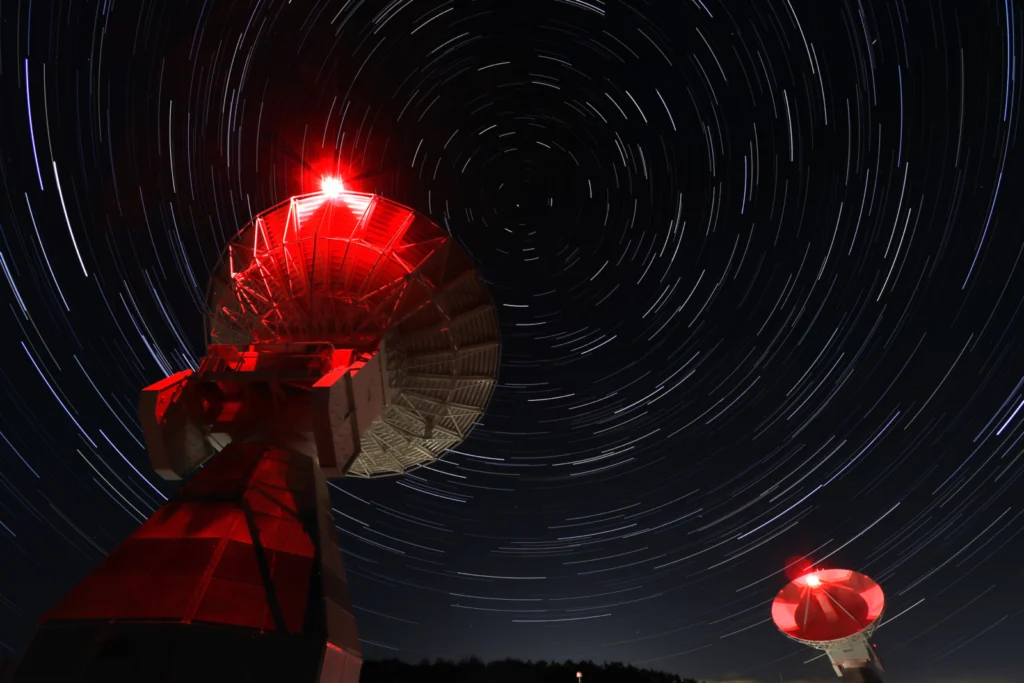
Imaggeo On Monday: Onsala Twin Telescopes
“The Onsala Twin Telescopes are part of the global geodetic Very Long Baseline Interferometry (VLBI) network. Radio telescopes all around the globe are observing extra-galactic radio sources simultaneously to determine Earth orientation parameters, source positions and station coordinates, as well as velocities. Geodetic Very Long Baseline Interferometry is used to maintain the International Terrestrial Reference …[Read More]