Detail of a photo: Large angular boulder beside a shallow pebbly stream in a grassy mountain valley, below steep forested slopes and rocky peaks under a dramatic blue sky, in heavily processed colours.
EGU Blogs

Latest posts

G

Beyond Navigation: How GNSS Reveals Earth’s Hidden Secrets
Beyond Navigation: How GNSS Reveals Earth’s Hidden Secrets

Part 2 – the regional case In our previous post, we discussed global scale phenomena, showing how the Global Navigation Satellite Systems (GNSS) constellation is the ultimate instrument for monitoring the Earth as a whole: tracking plate tectonics, defining the planet’s absolute size, and measuring variations of its gravity field. Essentially, the big questions of …[Read More]

GM

A Free Tool That Maps Ancient Coastlines Like an Expert

A Free Tool That Maps Ancient Coastlines Like an Expert

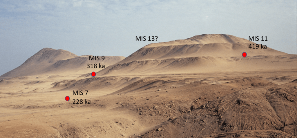
by Julius Jara Muñoz, Professor of Engineering Geology at the University of Applied Sciences Biberach (Hochschule Biberach), Germany. Email: jara@hochschule-bc.de, website: https://www.hochschule-biberach.de/kontakt/julius-jara-munoz. “Reproducibility is a cornerstone of the scientific method, yet measuring ancient coastlines has long depended on expert judgment – until now”. Coastlines are highly dynamic systems controlled by sea-level changes and surface deformation. Over thousands …[Read More]

G

What’s up for geodesy during the upcoming EGU26?

What’s up for geodesy during the upcoming EGU26?

It’s this time of the year again when we all meet up in Vienna and talk about our latest scientific results and, more importantly, network with old and new colleagues. The EGU General Assembly (GA) EGU26 will take place again in a hybrid format. The scientific programme consists, as usual, of oral and poster presentations, …[Read More]