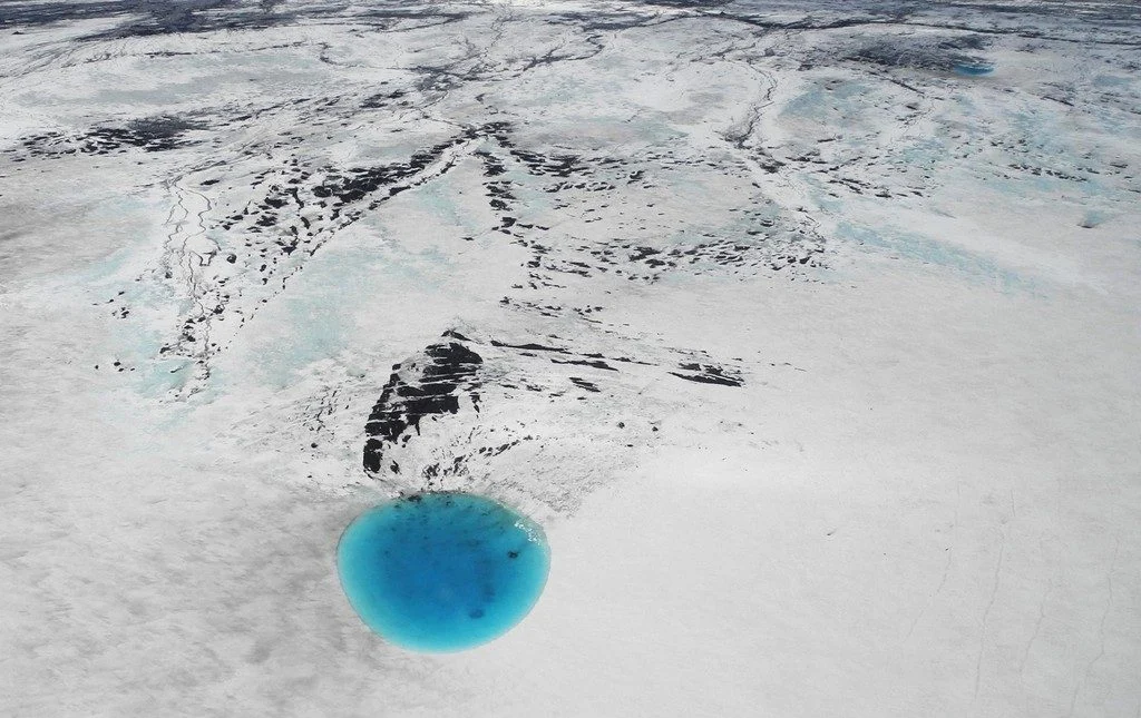
The photograph shows water that accumulated in a depression on the ice surface of Vatnajökull glacier in southeastern Iceland. This 700m wide and 30m deep depression [1], scientifically called an ‘ice cauldron’, is surrounded by circular crevasses on the ice surface and is located on the glacier tongue Dyngjujökull, an outlet glacier of Vatnajökull. The photo was taken on 4 June 2016, less than 22 ...[Read More]
May GeoRoundUp: the best of the Earth sciences from around the web
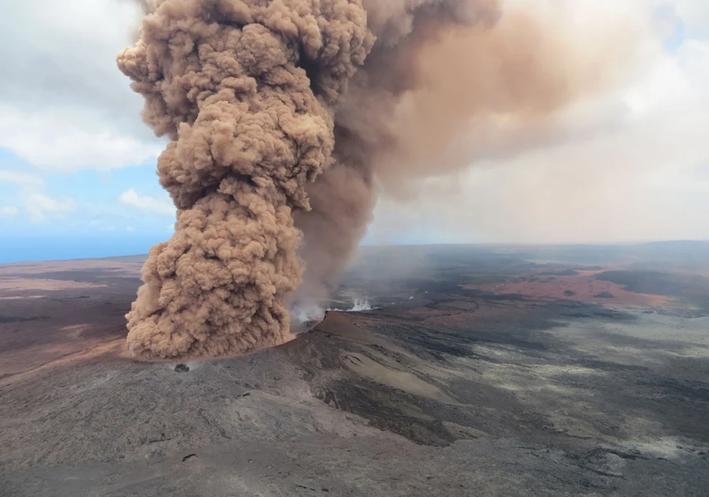
Drawing inspiration from popular stories on our social media channels, as well as unique and quirky research news, this monthly column aims to bring you the best of the Earth and planetary sciences from around the web. Major Story This month the Earth science media has directed its attention towards a pacific island with a particularly volcanic condition. The Kilauea Volcano, an active shield volc ...[Read More]
Imaggeo on Mondays: A volcanic point of view
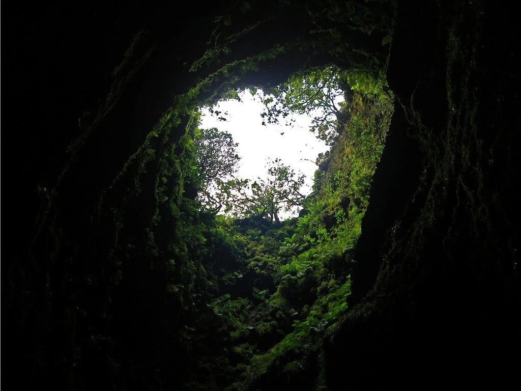
It’s not every day that you can peer into a volcano, much less gaze out at the sky from the inside of one. The Algar do Carvão, or “the Cavern of Coal,” is one of the few places on Earth where you can explore the underground reaches of a volcanic site. The volcanic pit is found on the island of Terceira, part of the Azores archipelago. This collection of islands is an autonomous region of Portugal ...[Read More]
Imaggeo on Mondays: Iceland’s original birch forest
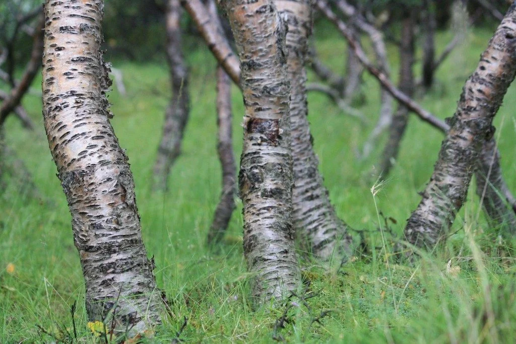
Iceland is a country of dramatically rugged landscapes. The region is home to sweeping valleys and mountain ranges, dotted with lava fields, large glaciers, hot springs and impressive waterfalls. The territory is also notoriously treeless. As of 2016, forests only made up 1.9 percent of Iceland, according to the Icelandic Forest Service. However, about a thousand years ago the country’s landscape ...[Read More]
Imaggeo on Mondays: Mount Elgon, a balance between fertility and destruction
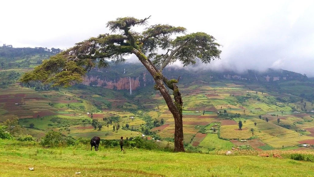
This colourful cropland patchwork is located on the fertile flanks of Mount Elgon, Uganda at an elevation of 2,400 metres above sea level. The extinct shield volcano, the oldest in East Africa, is mostly covered in clouds and provides an infinite flow of wonderful waterfalls. Due to the climate at this elevation, the cultivated crops experience more temperate weather conditions compared to crops m ...[Read More]
GeoTalk: How will large Icelandic eruptions affect us and our environment?
Geotalk is a regular feature highlighting early career researchers and their work. In this interview we speak to Anja Schmidt, an interdisciplinary researcher at the University of Cambridge who draws from atmospheric science, climate modelling, and volcanology to better understand the environmental impact of volcanic eruptions. She is also the winner of a 2018 Arne Richter Award for Outstanding Ea ...[Read More]
Imaggeo on Mondays: Chilean relics of Earth’s past
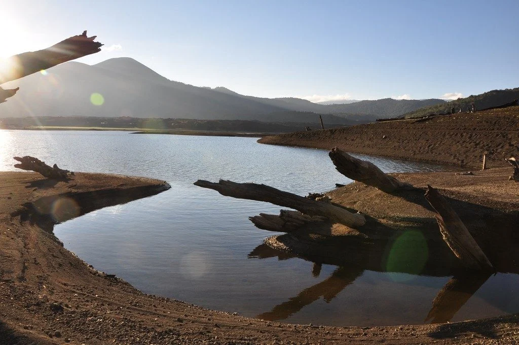
As Earth’s environment changes, it leaves behind clues used by scientists to paint portraits of the past: scorched timber, water-weathered shores, hardened lava flows. Chile’s Conguillío National Park is teeming with these kind of geologic artifacts; some are only a few years old while others have existed for more than 30 million years. The photographer Anita Di Chiara, a researcher at Lancaster U ...[Read More]
September GeoRoundUp: the best of the Earth sciences from around the web
Drawing inspiration from popular stories on our social media channels, as well as unique and quirky research news, this monthly column aims to bring you the best of the Earth and planetary sciences from around the web. Major story and what you might have missed This month has been an onslaught of Earth and space science news; the majority focusing on natural hazards. Hurricanes, earthquakes and v ...[Read More]
Imaggeo on Mondays: In the belly of the beast
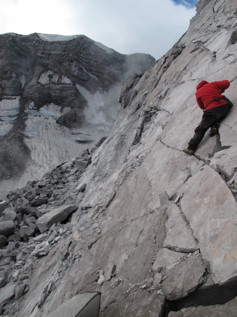
Conducting research inside a volcanic crater is a pretty amazing scientific opportunity, but calling that crater home for a week might just be a volcanologist’s dream come true, as Alexandra postdoctoral researcher at the Institut de Physique du Globe de Strasbourg, describes in this week’s Imaggeo on Mondays. This picture was taken from inside the crater of Mount St Helens, a stratovolcano ...[Read More]
Imaggeo on Mondays: Lava highway in Kanaga Island
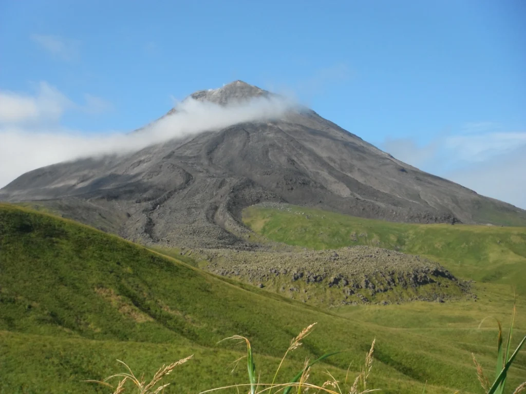
On a rare sunny day, Mattia Pistone (a researcher at the Smithsonian Institution in Washington DC) was able to capture this spectacular shot of Kanaga, a stratovolcano in the remote Western Aleutians, which is usually veiled by thick cloud. The Western Aleutians form a chain of 14 large and 55 small volcanic islands, belonging to one of the most extended volcanic archipelagos on Earth (1900 km), s ...[Read More]