GeoLog

satellite

Imaggeo On Monday: Solar eclipse of November 3, 2013, observed from a geostationary orbit
Imaggeo On Monday: Solar eclipse of November 3, 2013, observed from a geostationary orbit
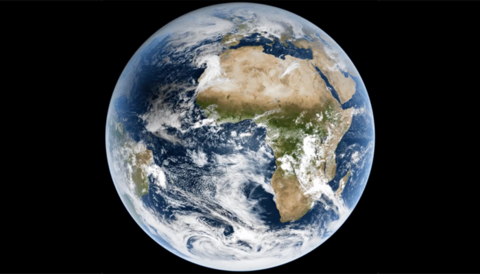
The solar eclipse of November 3, 2013, as observed from the MSG satellite, in geostationary orbit 36000km above the equator. The eclipsed area, where the shadow of the full Moon reached the Earth’s surface, moved over the Atlantic Ocean and Africa. This eclipse was classified as a hybrid eclipse because it started out as an annular eclipse and became a total eclipse over equatorial Africa. W ...[Read More]

GeoTalk: Meet Rebekka Steffen, the Geodesy Division’s Early Career Scientist Representative

GeoTalk: Meet Rebekka Steffen, the Geodesy Division’s Early Career Scientist Representative

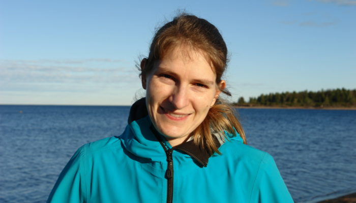
Hello Rebekka, thank you for taking the time to talk with us today! Could you introduce yourself to our readers? Hi. Thanks for giving me the chance to talk about my research and plans as ECS Rep for the Geodesy Division. I’m a researcher in Geodesy at Lantmäteriet, which is the Swedish mapping, cadastral, and land registration authority (I prefer the much shorter Swedish version 😉). I’m working i ...[Read More]

Imaggeo on Mondays: High above the top of Europe

Imaggeo on Mondays: High above the top of Europe

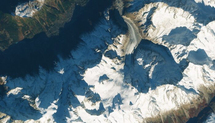
Sentinel-2B imaged the highest mountains of western Europe, just the moment an airplane was about to fly over the granite peaks of Grandes Jorasses and cross the border from France to Italy. The passengers on the right side of the plane must have enjoyed a spectacular view on Mont Blanc, just nine kilometers away to the south-west, and Mer de Glace, the longest glacier in France flowing down from ...[Read More]

August GeoRoundUp: the best of the Earth sciences from around the web

August GeoRoundUp: the best of the Earth sciences from around the web

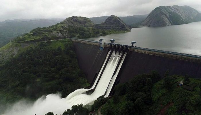
Drawing inspiration from popular stories on our social media channels, major geoscience headlines, as well as unique and quirky research, this monthly column aims to bring you the latest Earth and planetary science news from around the web. Major story The south Indian state of Kerala has suffered unusually heavy monsoon rainfall this month, triggering the worst flooding the state has seen in more ...[Read More]

April GeoRoundUp: the best of the Earth sciences from the 2018 General Assembly

April GeoRoundUp: the best of the Earth sciences from the 2018 General Assembly

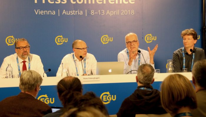
The 2018 General Assembly took place in Vienna last month, drawing more than 15,000 participants from 106 countries. This month’s GeoRoundUp will focus on some of the unique and interesting stories that came out of research presented at the Assembly. Mystery solved The World War II battleship Tirpitz was the largest vessel in the German navy, stationed primarily off the Norwegian coastline as a fo ...[Read More]

Imaggeo on Mondays: Atmospheric gravity waves

Imaggeo on Mondays: Atmospheric gravity waves

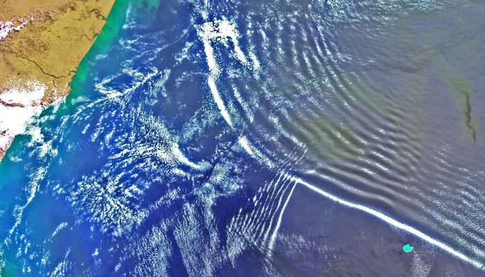
From the tiny vibrations which travel through air, allowing us to hear music, to the mighty waves which traverse oceans and the powerful oscillations which shake the ground back and forth during an earthquake, waves are an intrinsic part of the world around us. As particles vibrate repeatedly, they create an oscillation, which when accompanied by the transfer of energy, creates a wave.  The way in ...[Read More]

GeoTalk: Using satellites to unravel the secrets of our planet’s polar regions

GeoTalk: Using satellites to unravel the secrets of our planet’s polar regions

Geotalk is a regular feature highlighting early career researchers and their work. In this interview we speak to Bert Wouters, a polar scientist at the University of Utrecht, and winner of one of the 2016 Arne Richter Awards for Outstanding Young Scientists. At a time when the polar regions are facing increasing challenges resulting from climate change, understanding how they might respond to them ...[Read More]

Geosciences Column: A new rock outcrop map and area estimation for the entire Antarctic continent

Geosciences Column: A new rock outcrop map and area estimation for the entire Antarctic continent

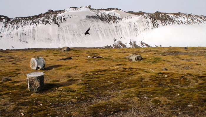
Antarctica has been known as “the frozen continent” for almost as long as we have known of its existence. It may be the only place on Earth where, instead of information on the extent of glaciers or ice caps, there exists a dataset of all non-icy areas compiled from satellite imagery. However, this repository is far from perfect: while satellite resolution and coverage have been steadily improving ...[Read More]

Imaggeo on Mondays: Plate it up – a recipe for sea ice errors

Last week, a team of cryospheric scientists published a paper in The Cryosphere that showed how tiny plates of ice can lead to spurious estimates of sea ice thickness. This week, we’re featuring their findings, as well as some spectacular sea ice images in the latest in our Imaggeo on Mondays series… Viewing the poles from above is a stunning sight – a seemingly endless expanse of bril ...[Read More]