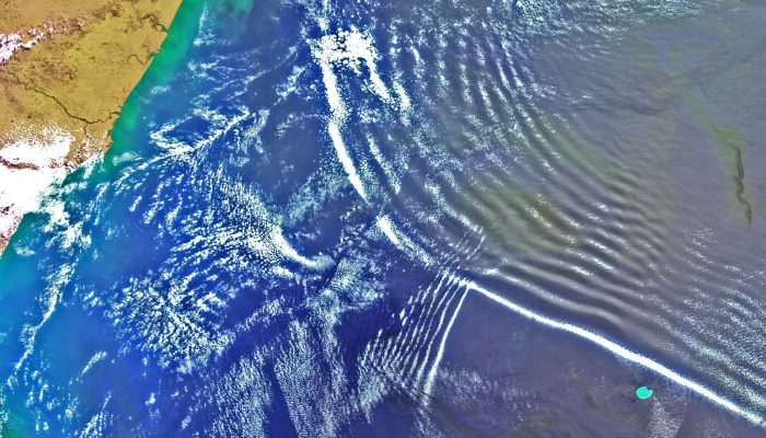
The 2018 General Assembly took place in Vienna last month, drawing more than 15,000 participants from 106 countries. This month’s GeoRoundUp will focus on some of the unique and interesting stories that came out of research presented at the Assembly. Mystery solved The World War II battleship Tirpitz was the largest vessel in the German navy, stationed primarily off the Norwegian coastline as a fo ...[Read More]
April GeoRoundUp: the best of the Earth sciences from the 2018 General Assembly
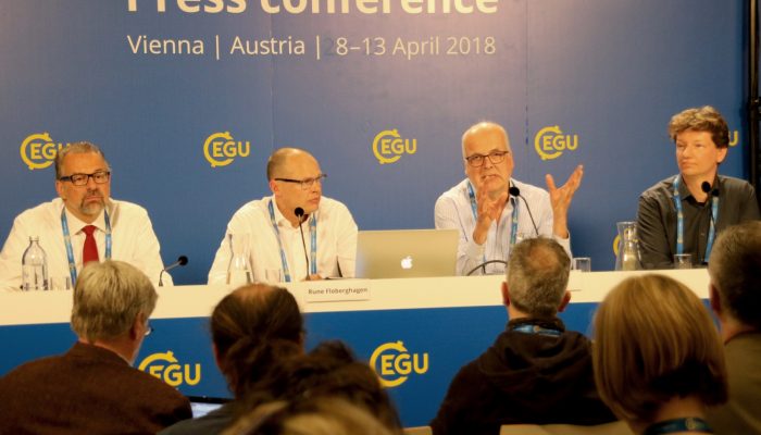
Scientists present research findings at a press conference at the 2018 General Assembly (Credit: EGU / Keri McNamara)