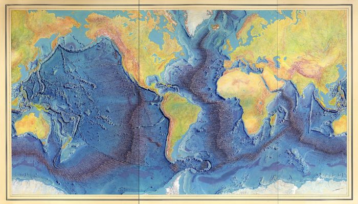
This month for GeoTalk, as we approach the centennial of Marie Tharp’s birth next week, we were lucky enough to speak with the author of her biography ‘Soundings: The Story of the Remarkable Woman Who Mapped the Ocean Floor‘; Hali Felt. Hali has a Master of Fine Arts degree from the University of Iowa and has completed residencies at MacDowell, the Sitka Center for Art and Ecolog ...[Read More]
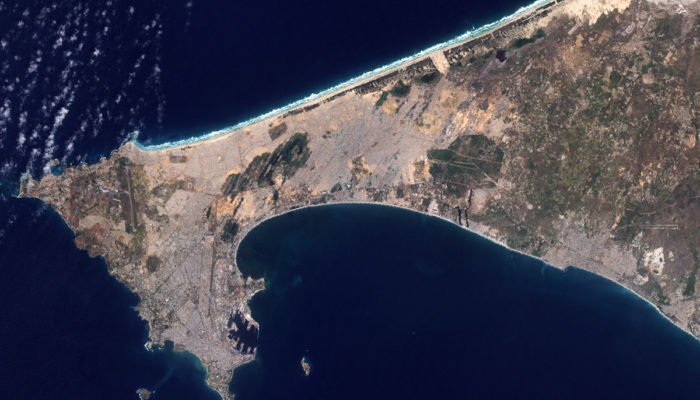
Inclusive flood mapping: using citizen science to collect historical flood data in Dakar, Senegal.

During the month of February, we are focusing on ‘Accessibility and Inclusivity’ here at the EGU. Although these topics are clearly relevant to the General Assembly, some people may wonder whether they also relate to scientific research. Clearly all geoscientists are people, so accessibility and inclusivity matter regardless of what scientific discipline they are in. But there can also be tangible ...[Read More]
GeoTalk: A smart way to map earthquake impact

Last week at the 2016 General Assembly Sara, one of the EGU’s press assistants, had the opportunity to speak to Koen Van Noten about his research into how crowdsourcing can be used to find out more about where earthquakes have the biggest impact at the surface. Firstly, can you tell me a little about yourself? I did a PhD in structural geology at KULeuven and, after I finished, I started to ...[Read More]
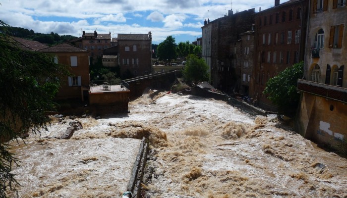
GeoSciences Column: Mapping floods with social media

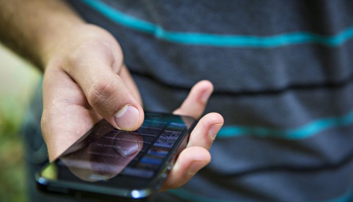
Picture this: you are on your commute home, smartphone or tablet in hand, surfing the internet. You might quickly catch up on the latest news, check in with your friend’s on Facebook, or take to Twitter to share a morsel of information with your followers. This scenario is common in the modern era of technology. No doubt we are all guilty of indulging in a serious session of internet navigation ev ...[Read More]

