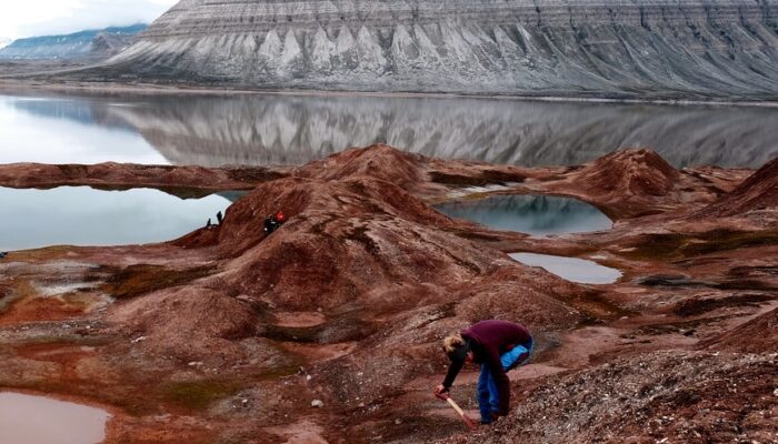
This photograph shows landforms on Coraholmen Island in Ekmanfjorden, one of the fjords found in the Norwegian archipelago, Svalbard. These geomorphic features were formed by Sefströmbreen, a tidewater glacier, when it surged in the 1880s. Although all glaciers flow, some glaciers undergo cyclic changes in their flow. This is called surging, and glaciers that surge are called surging glaciers. Dur ...[Read More]
Imaggeo on Mondays: Hints of an eruption
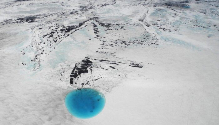
The photograph shows water that accumulated in a depression on the ice surface of Vatnajökull glacier in southeastern Iceland. This 700m wide and 30m deep depression [1], scientifically called an ‘ice cauldron’, is surrounded by circular crevasses on the ice surface and is located on the glacier tongue Dyngjujökull, an outlet glacier of Vatnajökull. The photo was taken on 4 June 2016, less than 22 ...[Read More]
May GeoRoundUp: the best of the Earth sciences from around the web
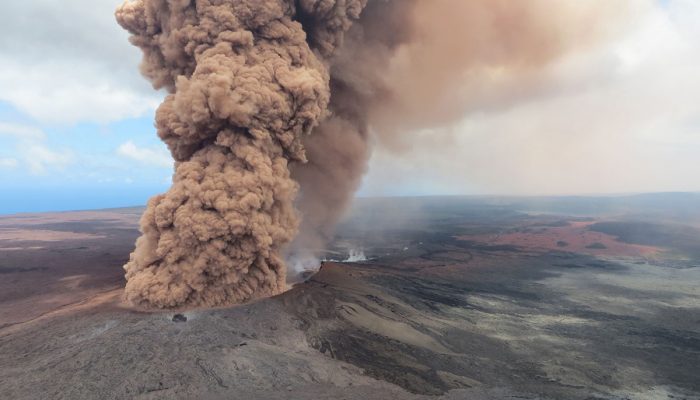
Drawing inspiration from popular stories on our social media channels, as well as unique and quirky research news, this monthly column aims to bring you the best of the Earth and planetary sciences from around the web. Major Story This month the Earth science media has directed its attention towards a pacific island with a particularly volcanic condition. The Kilauea Volcano, an active shield volc ...[Read More]
Imaggeo on Mondays: Refuge in a cloudscape
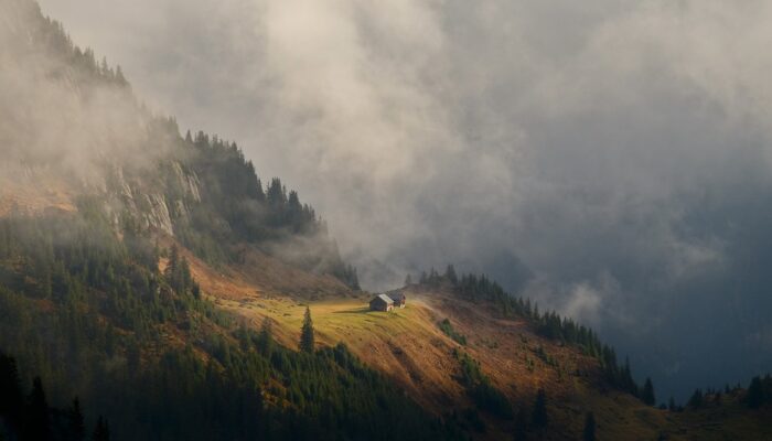
The action of glaciers combined with the structure of the rock to form this little platform, probably once a small lake enclosed between a moraine at the mountain side and the ice in the valley. Now it has become a green haven in the mountain landscape, a perfect place for an alp. In the Alps, stratus clouds opening up on autumn mornings often create gorgeous light display. That day, some of the f ...[Read More]