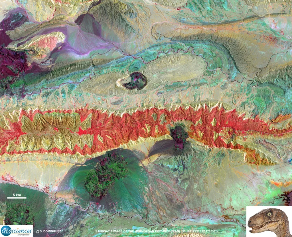
How many times have you turned your head up to the sky and spotted familiar shapes in the clouds? Viewing structures from afar can reveal interesting, common and, sometimes, funny patterns. Satellite images are often used to map geological terrains. They offer a bird’s eye view of the planet and the opportunity to see broad …[Read More]
folds
Imaggeo on Mondays: Scales of fluvial dissection
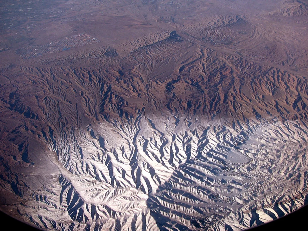
High peaks, winding river channels and a barren landscape all feature in today’s Imaggeo on Mondays image, brought to you by Katja Laute, a geomorphologist from Norway. This photo was taken from an airplane flying over the Zagros Mountains in Iran. The Zagros Mountain range stretches south and west from the borders of Turkey and …[Read More]
Imaggeo on Mondays: A fold belt within a grain
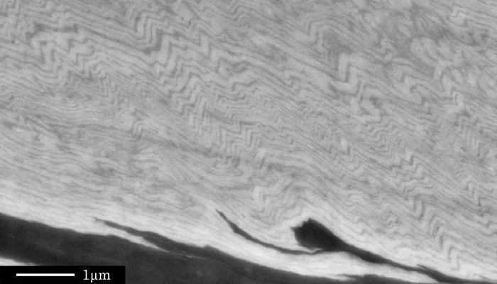
Tiny crinkly folds form the main basis of today’s Imaggeo on Mondays. Folding can occur on a number of scales; studying folds at all scales can reveal critical information about how rocks behave when they are squeeze and pinched, as described by Sina Marti, from the University of Basel. Although many geoscientists have seen such …[Read More]