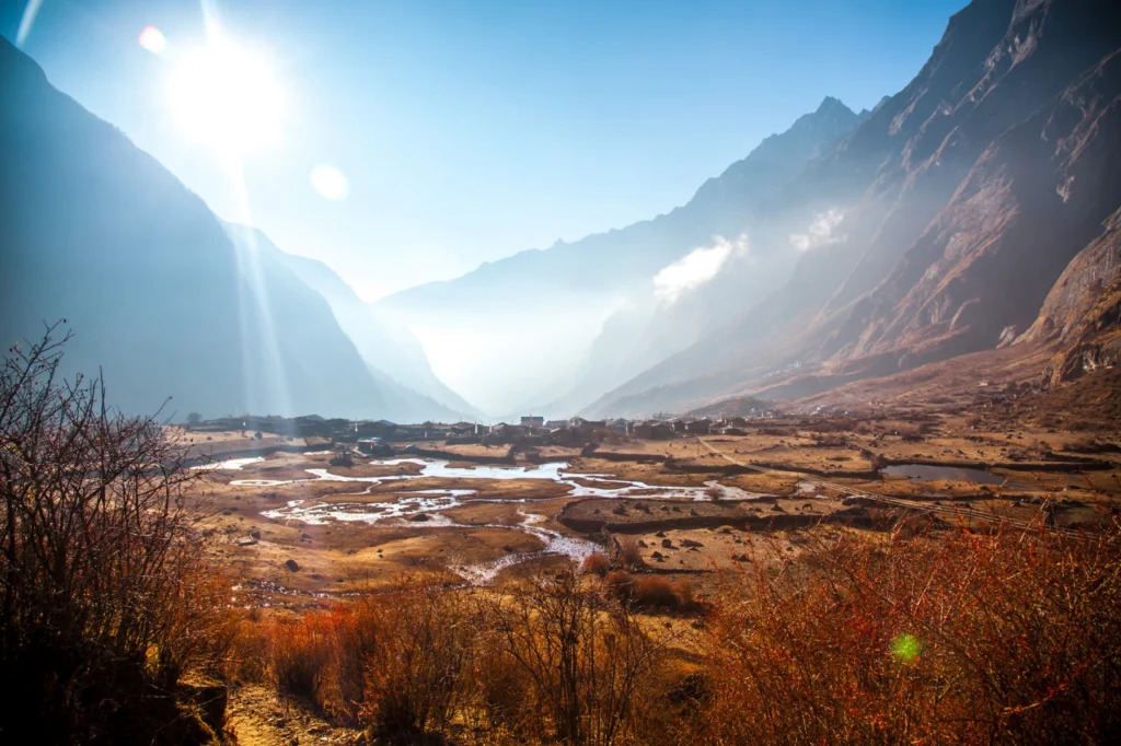
Three years ago, an earthquake-induced avalanche and rockfalls buried an entire Nepalese village in ice, stone, and snow. Researchers now think the region’s heavy snowfall from the preceding winter may have intensified the avalanche’s disastrous effect. The Langtang village, just 70 kilometres from Nepal’s capital Kathmandu, is nestled within a valley under the shadow of …[Read More]
Regular Features
Imaggeo on Mondays: Probing the Pliocene
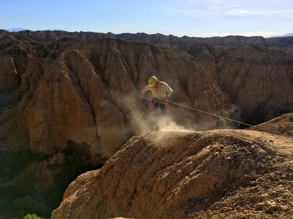
The heights we go to for science… This photograph shows a member of our team preparing to abseil down a cliff in the Charyn Canyon, in the Ili River basin of southeast Kazakhstan. The Charyn River and its tributaries, a branch of the Ili River north of the Tien Shan Mountains, have cut canyons up …[Read More]
April GeoRoundUp: the best of the Earth sciences from the 2018 General Assembly
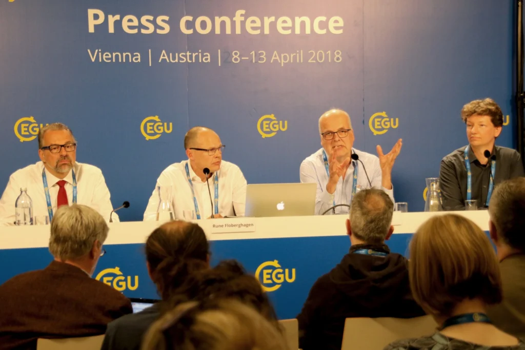
The 2018 General Assembly took place in Vienna last month, drawing more than 15,000 participants from 106 countries. This month’s GeoRoundUp will focus on some of the unique and interesting stories that came out of research presented at the Assembly. Mystery solved The World War II battleship Tirpitz was the largest vessel in the German …[Read More]
GeoPolicy: Scientific research in a changing European Union
Scientific research in a changing European Union The 2018 EGU General Assembly was a huge success. Not only was it the biggest yet (with over 15,000 participants) but it also held a large variety of Short Courses, Townhalls and Union Symposia that gave the scientists attending a chance to step out of their comfort zone …[Read More]
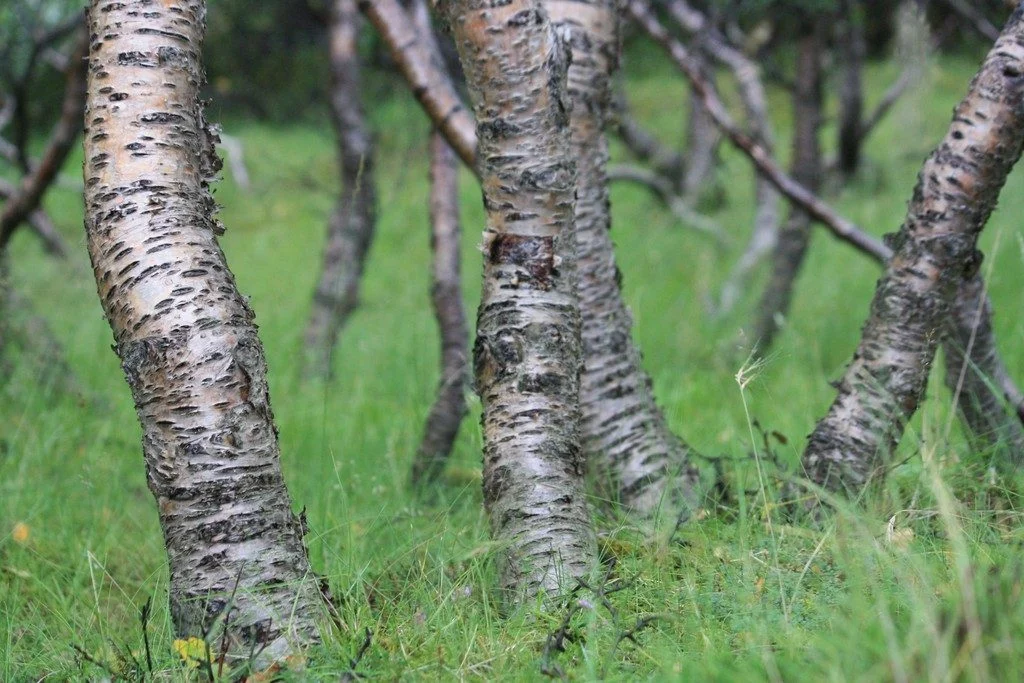
Imaggeo on Mondays: Iceland’s original birch forest
Iceland is a country of dramatically rugged landscapes. The region is home to sweeping valleys and mountain ranges, dotted with lava fields, large glaciers, hot springs and impressive waterfalls. The territory is also notoriously treeless. As of 2016, forests only made up 1.9 percent of Iceland, according to the Icelandic Forest Service. However, about a …[Read More]
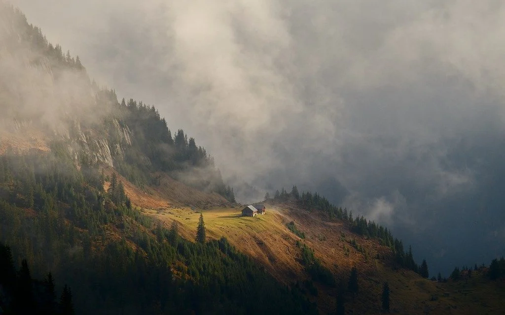
Imaggeo on Mondays: Refuge in a cloudscape
The action of glaciers combined with the structure of the rock to form this little platform, probably once a small lake enclosed between a moraine at the mountain side and the ice in the valley. Now it has become a green haven in the mountain landscape, a perfect place for an alp. In the Alps, …[Read More]
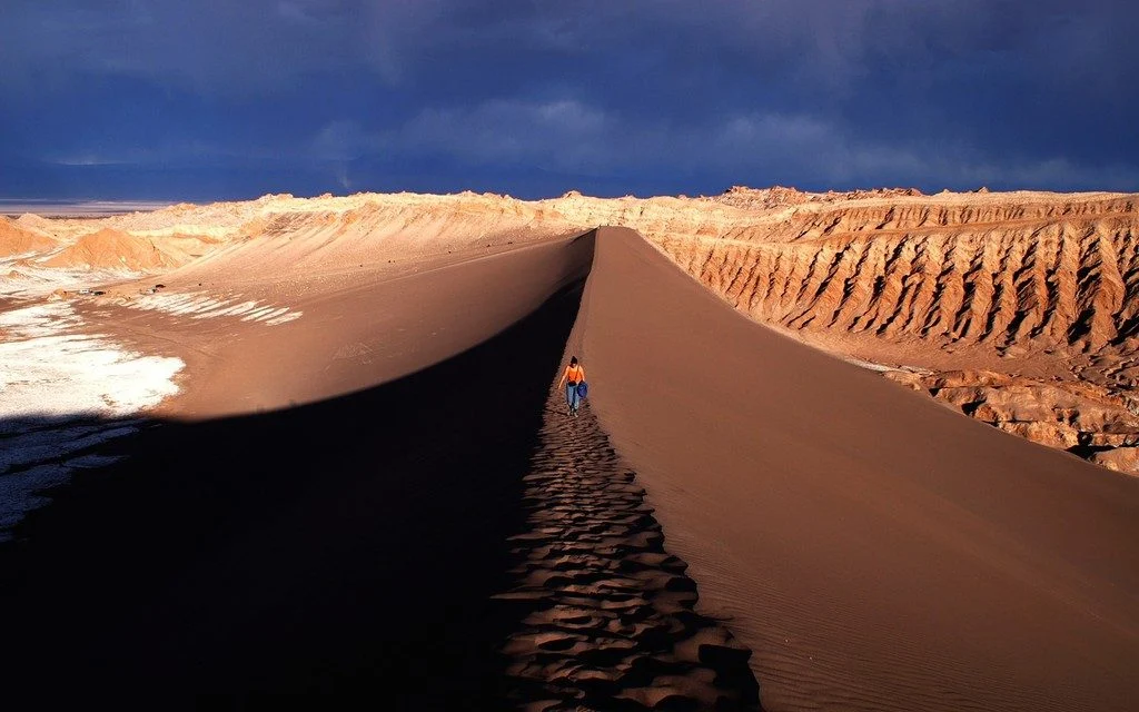
Imaggeo on Mondays: Cordillera de la Sal
The photograph shows the Valle de la Luna, part of the amazing Cordillera de la Sal mountain range in northern Chile. Rising only 200 metres above the basin of the Salar de Atacama salt flat, the ridges of the Cordillera de la Sal represent a strongly folded sequence of clastic sediments and evapourites (salt can …[Read More]
Photo Competition finalists 2018 – who will you vote for?
The selection committee received over 600 photos for this year’s EGU Photo Competition, covering fields across the geosciences. The fantastic finalist photos are below and they are being exhibited in Hall X2 (basement, Brown Level) of the Austria Center Vienna – see for yourself! Do you have a favourite? Vote for it! There is a voting terminal (also in Hall X2), …[Read More]
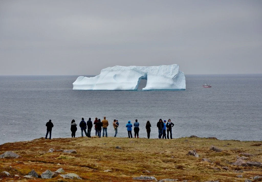
Imaggeo on Mondays: Iceberg viewing in Cape Spear, Newfoundland, Canada
Cape Spear in Newfoundland, Canada is the easternmost location in North America and one of the few places in the world where you can contemplate icebergs from the shore. Every year, about 400 to 800 bergs journey down to this particular point. These 10,000-year-old ice giants drift along the northern shore of Newfoundland with the …[Read More]
Imaggeo on Mondays: Mount Elgon, a balance between fertility and destruction
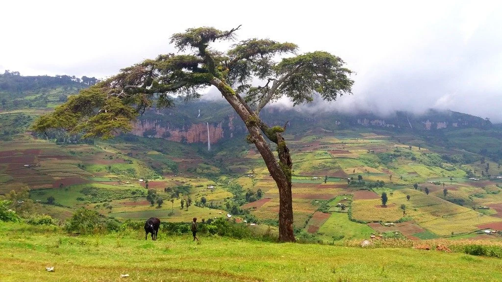
This colourful cropland patchwork is located on the fertile flanks of Mount Elgon, Uganda at an elevation of 2,400 metres above sea level. The extinct shield volcano, the oldest in East Africa, is mostly covered in clouds and provides an infinite flow of wonderful waterfalls. Due to the climate at this elevation, the cultivated crops …[Read More]