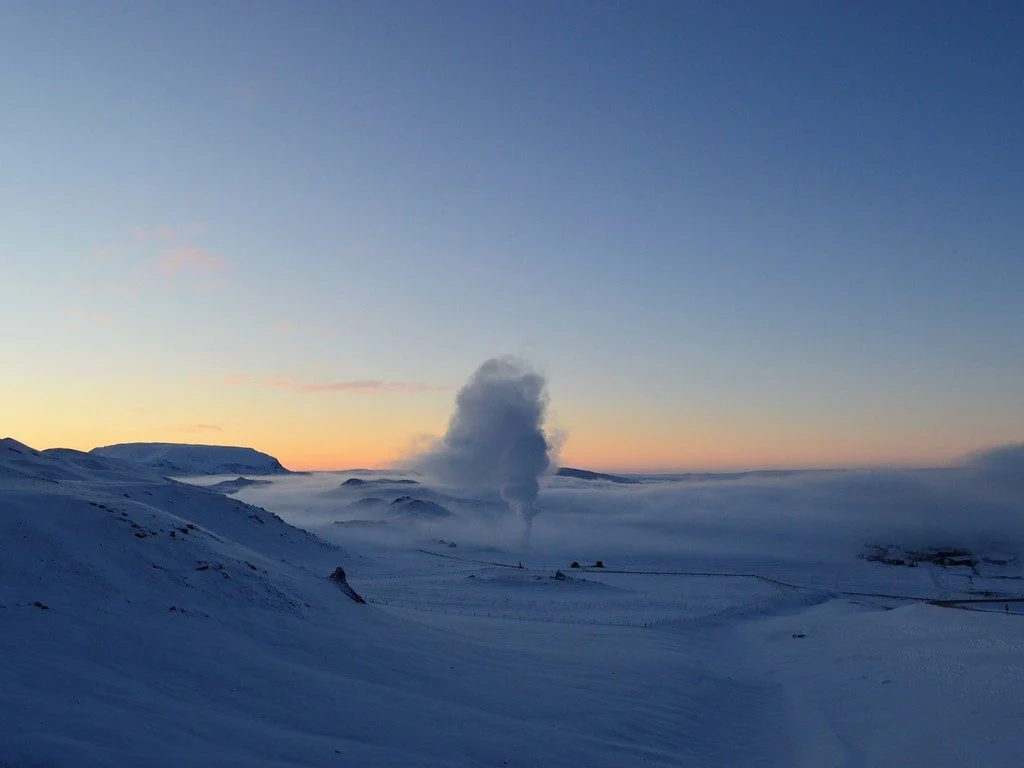
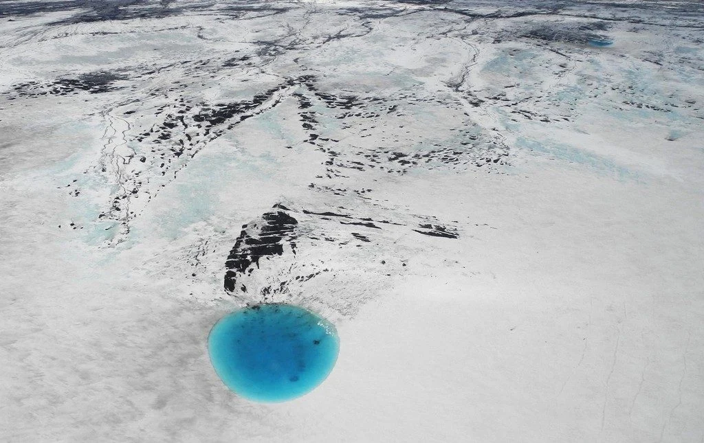
The photograph shows water that accumulated in a depression on the ice surface of Vatnajökull glacier in southeastern Iceland. This 700m wide and 30m deep depression [1], scientifically called an ‘ice cauldron’, is surrounded by circular crevasses on the ice surface and is located on the glacier tongue Dyngjujökull, an outlet glacier of Vatnajökull. The photo was taken on 4 June 2016, less than 22 ...[Read More]
Imaggeo on Mondays: A Colombian myth with geologic origins
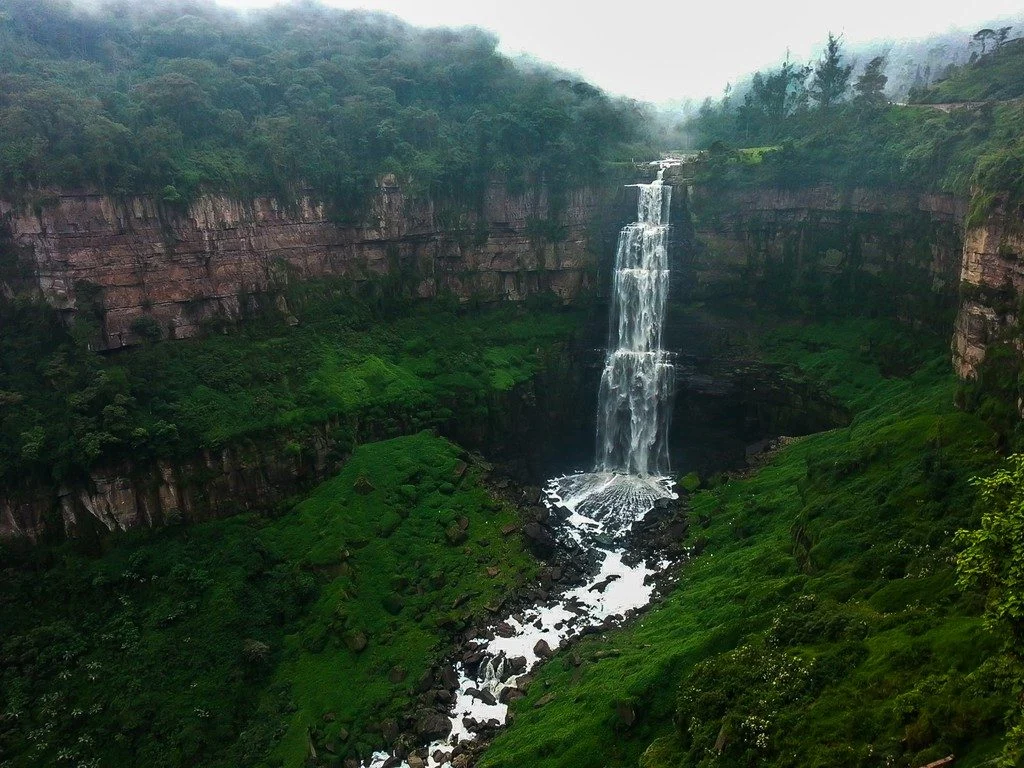
This photograph shows El salto del Tequendama, a natural waterfall of Colombia, located in the Department of Cundinamarca at an altitude of 2400 metres above sea level and approximately 30 kilometres southwest of the country’s capital, Bogotá. The Salto del Tequendama is a space of transit and connectivity between the warm lands of the Magdalena river basin and the cold lands of the Sumapaz ...[Read More]
May GeoRoundUp: the best of the Earth sciences from around the web
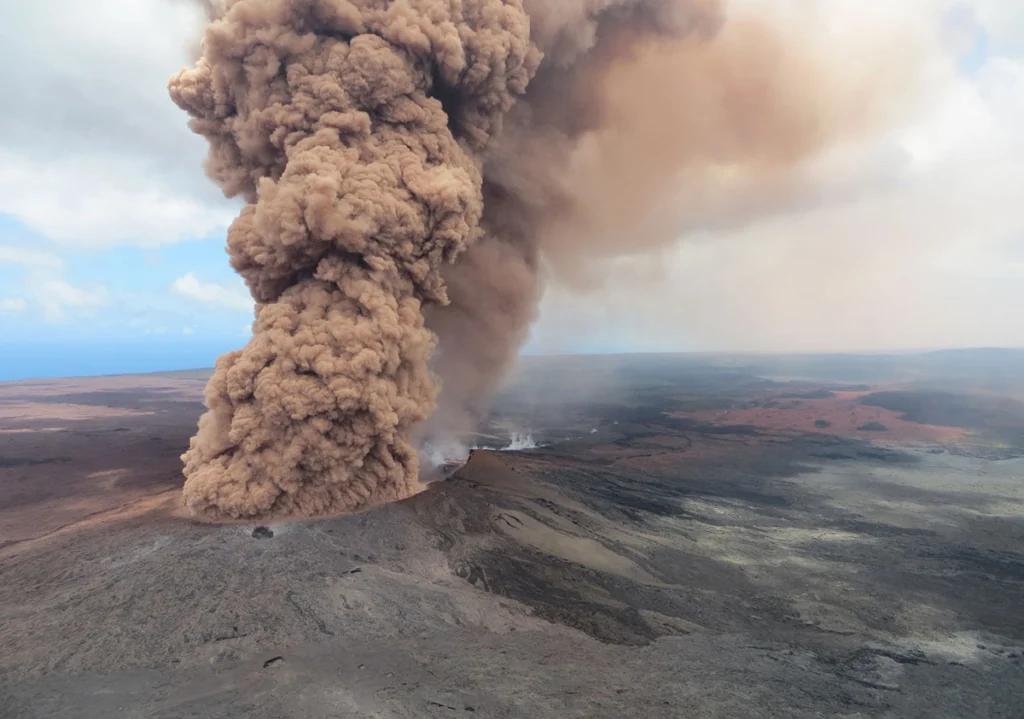
Drawing inspiration from popular stories on our social media channels, as well as unique and quirky research news, this monthly column aims to bring you the best of the Earth and planetary sciences from around the web. Major Story This month the Earth science media has directed its attention towards a pacific island with a particularly volcanic condition. The Kilauea Volcano, an active shield volc ...[Read More]
Imaggeo On Mondays: Reservoir in the Italian Alps
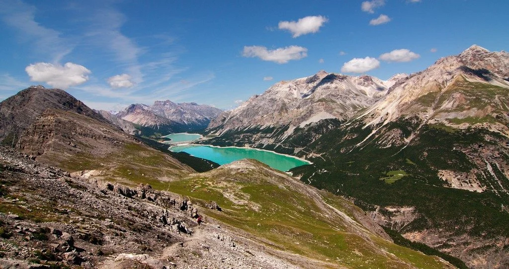
Mountain natural streams and reservoirs have a relevant hydrological and ecological importance since they represent reliable sources of freshwater supply to lowland regions and high-quality habitats for fish and cold-water communities. Moreover, streams in mountain environments are of significant importance for users in several socio-economic sectors, such as agriculture, tourism and hydropower. G ...[Read More]
Geopolicy: including policy in science education?
Generally, students are taught basic science and given a rudimentary overview of the political system from a young age. I remember learning how to do basic experiments from the age of 7 and learning about the Australian Parliament not long after that. We had specific classes dedicated to various scientific disciplines in high school and when I went onto study environmental science in my Bachelors ...[Read More]
Imaggeo on Mondays: A volcanic point of view
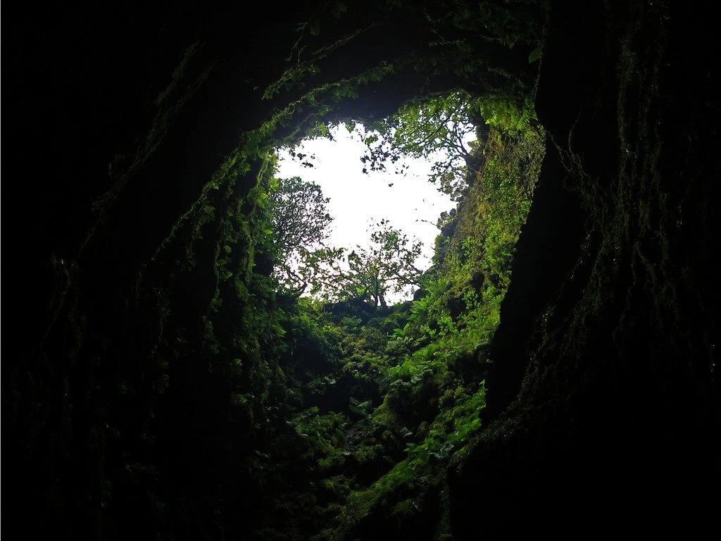
It’s not every day that you can peer into a volcano, much less gaze out at the sky from the inside of one. The Algar do Carvão, or “the Cavern of Coal,” is one of the few places on Earth where you can explore the underground reaches of a volcanic site. The volcanic pit is found on the island of Terceira, part of the Azores archipelago. This collection of islands is an autonomous region of Portugal ...[Read More]
Imaggeo on Mondays: River in a charoite schist
Polarized light photomicrograph of a thin section of a charoite-bearing schist. Charoite is a rare silicate found only at one location in Yakutia, Russia. For its beautiful and uncommon purple color it is used as a semi-precious stone in jewelry. Under the microscope charoite-bearing rocks give an overall feeling of movement, with charoite forming fibrous mats that swirl and fold as a result of de ...[Read More]
Geosciences Column: Extreme snowfall potentially worsened Nepal’s 2015 earthquake-triggered avalanche
Three years ago, an earthquake-induced avalanche and rockfalls buried an entire Nepalese village in ice, stone, and snow. Researchers now think the region’s heavy snowfall from the preceding winter may have intensified the avalanche’s disastrous effect. The Langtang village, just 70 kilometres from Nepal’s capital Kathmandu, is nestled within a valley under the shadow of the Himalayas. The town wa ...[Read More]
Imaggeo on Mondays: Probing the Pliocene
The heights we go to for science… This photograph shows a member of our team preparing to abseil down a cliff in the Charyn Canyon, in the Ili River basin of southeast Kazakhstan. The Charyn River and its tributaries, a branch of the Ili River north of the Tien Shan Mountains, have cut canyons up to 300 metres deep, carving through rocks of different geologic ages, some as old as 540 million years ...[Read More]
April GeoRoundUp: the best of the Earth sciences from the 2018 General Assembly
The 2018 General Assembly took place in Vienna last month, drawing more than 15,000 participants from 106 countries. This month’s GeoRoundUp will focus on some of the unique and interesting stories that came out of research presented at the Assembly. Mystery solved The World War II battleship Tirpitz was the largest vessel in the German navy, stationed primarily off the Norwegian coastline as a fo ...[Read More]