GeoLog

Imaggeo on Mondays

Imaggeo on Mondays: Tones of sand
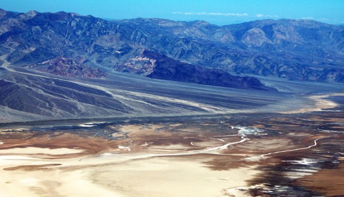
Tones of Sand

With rocks dating as far back as the Precambrian, mountain building events, violent volcanic eruptions and being covered, on and off, by shallow seas, Death Valley’s geological history is long and complex. Back in the Cenozoic (65 to 30 million years ago), following a turbulent period which saw the eruption of volcanoes (which in time would form the Sierra Nevada of California) and regional uplift ...[Read More]

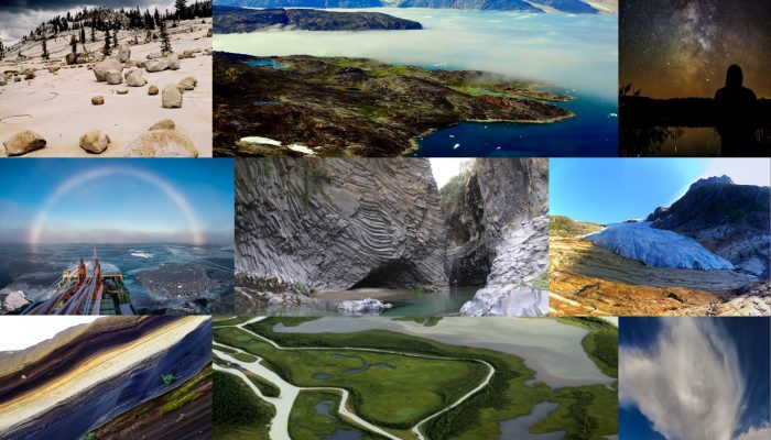
The best of Imaggeo in 2016: in pictures

The best of Imaggeo in 2016: in pictures

Imaggeo, our open access image repository, is packed with beautiful images showcasing the best of the Earth, space and planetary sciences. Throughout the year we use the photographs submitted to the repository to illustrate our social media and blog posts. For the past few years we’ve celebrated the end of the year by rounding-up some of the best Imaggeo images. But it’s no easy task to pick which ...[Read More]

Imaggeo on Mondays: Ice drilling

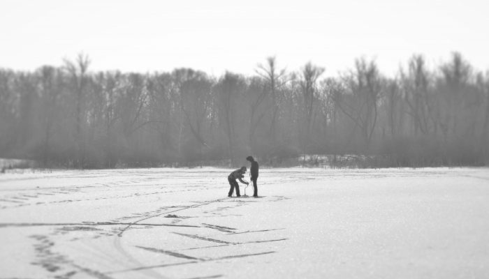
Ice drilling in Saratov

This week’s Imaggeo on Monday’s post, captured by Maksim Cherviakov, shows students from Saratov National Research University practicing a method to measure lake ice thickness. The students are using an ice auger to manually burrow through the ice. Afterwards, the ice depth is recorded using a tape measure. “We measure ice thickness every year on the lakes located in the floodplain of the Vo ...[Read More]

Imaggeo on Mondays: “Vancouver! Vancouver! This is it!”

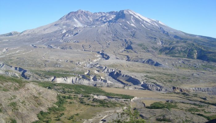
Mount St Helen's, Washington, seen from Johnston Ridge.

On May 18th 1980 Mount St Helens (an active stratovolcano of the Cascades located in the North West US), erupted explosively following a magnitude 5.1 earthquake. The quake triggered a devastating landslide which swept away the volcano’s northern flank – in what is the largest debris avalanche recorded on Earth to date. Removal of a section of the edifice depressurised the volcano’s magmatic ...[Read More]

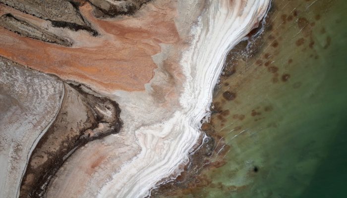
Imaggeo on Mondays: The shrinking of Earth’s saltiest lake

One of the consequences of the rapid fall of the water level (>1 m per year), is that vast areas of salt-rich ground of the shrunken Dead Sea are prone to strong dissolution and mechanical erosion of the subsurface processes.

The Dead Sea is one of the saltiest lakes on Earth, located at the lowest point of the globe.  For centuries it has been known for the restorative powers of its muds and waters. Their hypersalinity means it is possible to easily float on the lake’s surface. Bordering Israel, the West Bank and Jordan, it is a unique environment in an otherwise arid region.  Changing climate, which is seeing tempera ...[Read More]

Imaggeo on Mondays: White rainbow in the Arctic

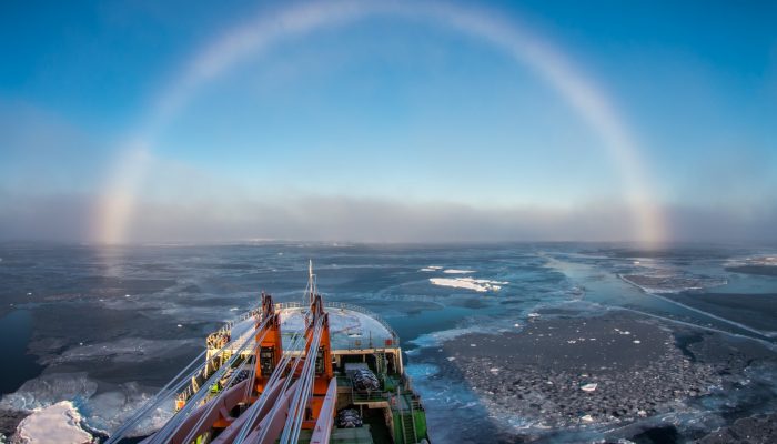
“Above the foggy strip, this white arch was shining, covering one third of the visible sky in the direction of the ship's bow,” he explains. “It was a so-called white, or fog rainbow, which appears on the fog droplets, which are much smaller then rain droplets and cause different optic effects, which is a reason of its white colour.”

Despite heading into the long polar night – the time when the sun doesn’t shine in the globe’s most northerly latitudes and when temperatures drop and thick sheets of sea ice form -the Arctic is reported to be 20° C warmer than average for this time of year.  Never has it been more important to understand the effects of climate change on Polar Regions. Mikhail Varentsov, a climate and meteor ...[Read More]

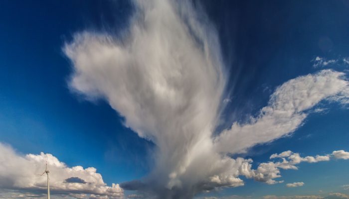
Imaggeo on Mondays: Isolated storm

Imaggeo on Mondays: Isolated storm

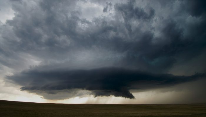
Clouds and storms are formed when warm, moist air rises. This causes the air to expand and cool: forming clouds as the moisture condenses onto particles suspended in the air (called cloud condensation nuclei). Normally, air rises from surface heating, or when warm and cold air pockets collide, or if air is pushed upwards when passing over hills or mountains. If this heating, and subsequent rising, ...[Read More]

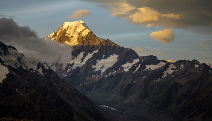
Imaggeo on Mondays: Aoraki & a round-up of the latest New Zealand earthquake news

Imaggeo on Mondays: Aoraki & a round-up of the latest New Zealand earthquake news

On Sunday the 13th November, New Zealand’s South Island was struck by a powerful 7.8 M earthquake. Initial analysis by the United States Geological Survey (USGS) indicates that the source of the tremor was faulting on or near the boundary between the Pacific and Australia plates. A tsunami alert (no longer active) was triggered following the earthquake, with risk of tsunami waves along coastal are ...[Read More]

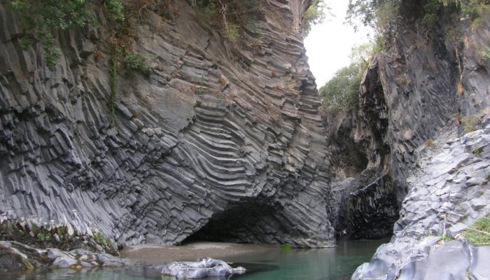
Imaggeo on Mondays: Gole dell‘ Alcantara

Imaggeo on Mondays: Gole dell‘ Alcantara

On account of Mount Etna (Europe’s largest volcano), the island of Sicily is peppered with geological wonders. Starting with the summit craters of the volcano itself, right through to over 200 caves formed within lava tubes, the island is packed with volcanic sights.Chief among them is Gole dell ‘Alcantara, a system of gorges formed 8,000 years ago in the course of the river Alcantara ...[Read More]

Imaggeo on Mondays: A look inside a thunderstorm

Imaggeo on Mondays: A look inside a thunderstorm

This week’s contribution to Imaggeo on Mondays is a photograph of a mesocyclone – and its rotating wall cloud – photographed by Mareike Schuster, an atmospheric scientist from Freie Universität Berlin, Germany. The picture was taken in June 2012 near Cheyenne, Wyoming in the United States during a field campaign, ROTATE, led by the Center for Severe Weather Research, based in Boulder, Colora ...[Read More]