GeoLog

Imaggeo on Mondays

Imaggeo on Mondays: Robotics at the service of the polar science

Imaggeo on Mondays: Robotics at the service of the polar science

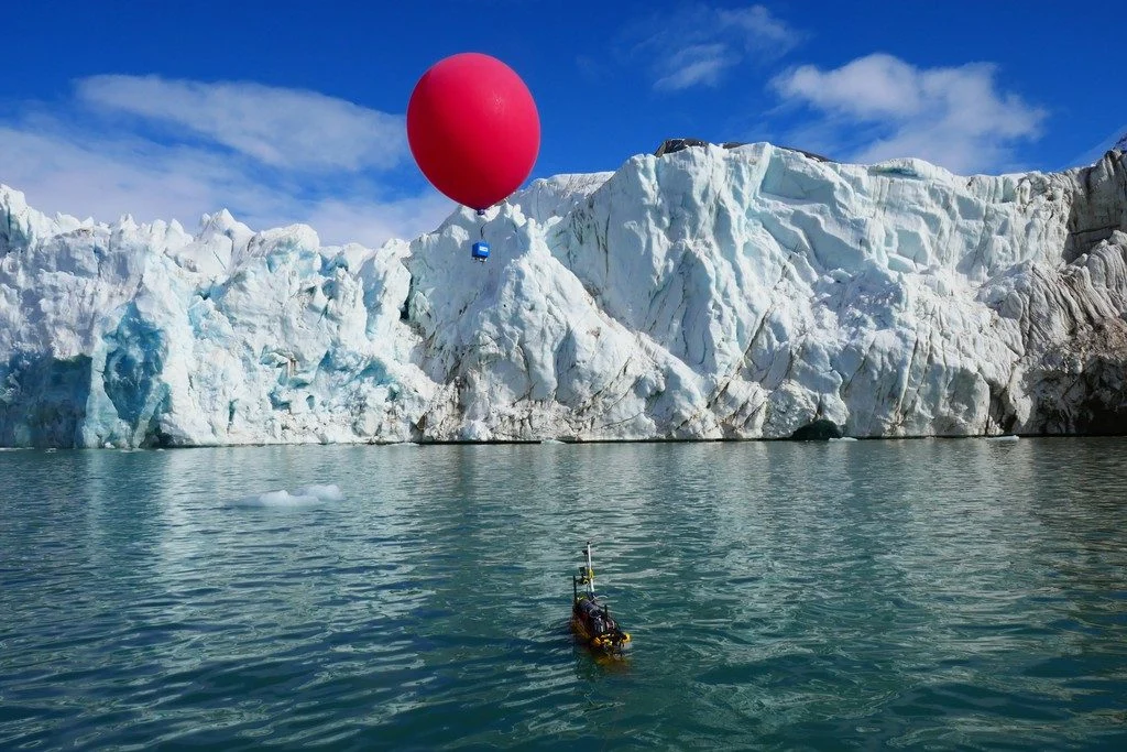
This picture was taken in the Arctic in May 2018. It shows the unmanned marine vehicle Proteus in front of the tidewater glacier Conwaybreen in the Kongsfjorden in Spitsbergen in the Svalbard Archipelago. The front of tidewater glaciers is an almost vertical wall of ice standing over the sea where direct measurements are very critical …[Read More]

Imaggeo on Mondays: Sunset and moonrise at Yosemite

Imaggeo on Mondays: Sunset and moonrise at Yosemite

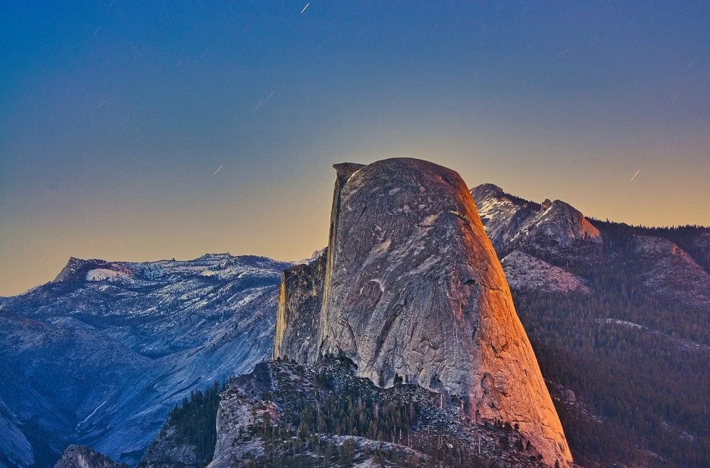
This side view of Half Dome at Yosemite National Park (California, USA) was taken from Washburn Point, a less frequented overlook a few hundred meters away from the popular Glacier Point outlook. The sun just on the right side behind the camera, which gave the orange tint to the back side of Half Dome. At …[Read More]

Imaggeo on Mondays: Foggy Bandon beach, Oregon

Imaggeo on Mondays: Foggy Bandon beach, Oregon

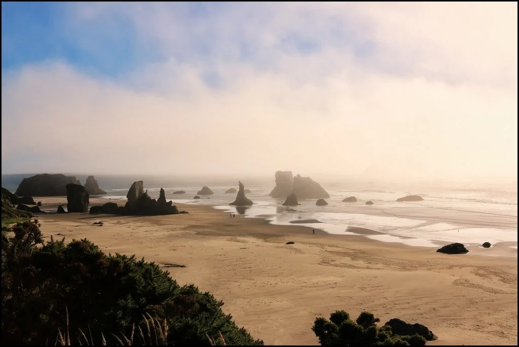
This picture was taken at Bandon beach, Oregon. Bandon is well-known for its memorable seascape of stacks of all shapes and sizes. These rock formations are known to geologists as ‘knockers’ and carry nicknames like ‘the Wizards hat’. They date from the Jurassic period – about 200 to 145 million years ago – and are …[Read More]

Imaggeo on Mondays: Our QUEST for innovative tools to understand changing environments and climates

Imaggeo on Mondays: Our QUEST for innovative tools to understand changing environments and climates

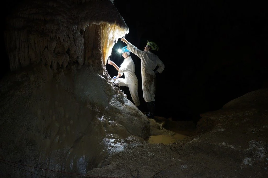
The photo shown here shows typical sampling work underground. You can see Ola Kwiecien and Cinthya Nava Fernandez, researchers at Ruhr University Bochum in Germany, collecting dripwater in New Zealand’s Waipuna Cave as part of a four-year EU-funded monitoring programme. Our research aims at developing innovative geochemical indicators that we can use to quantify changes …[Read More]

Imaggeo on Mondays: Sand and snow on the Tibetan Plateau

Imaggeo on Mondays: Sand and snow on the Tibetan Plateau

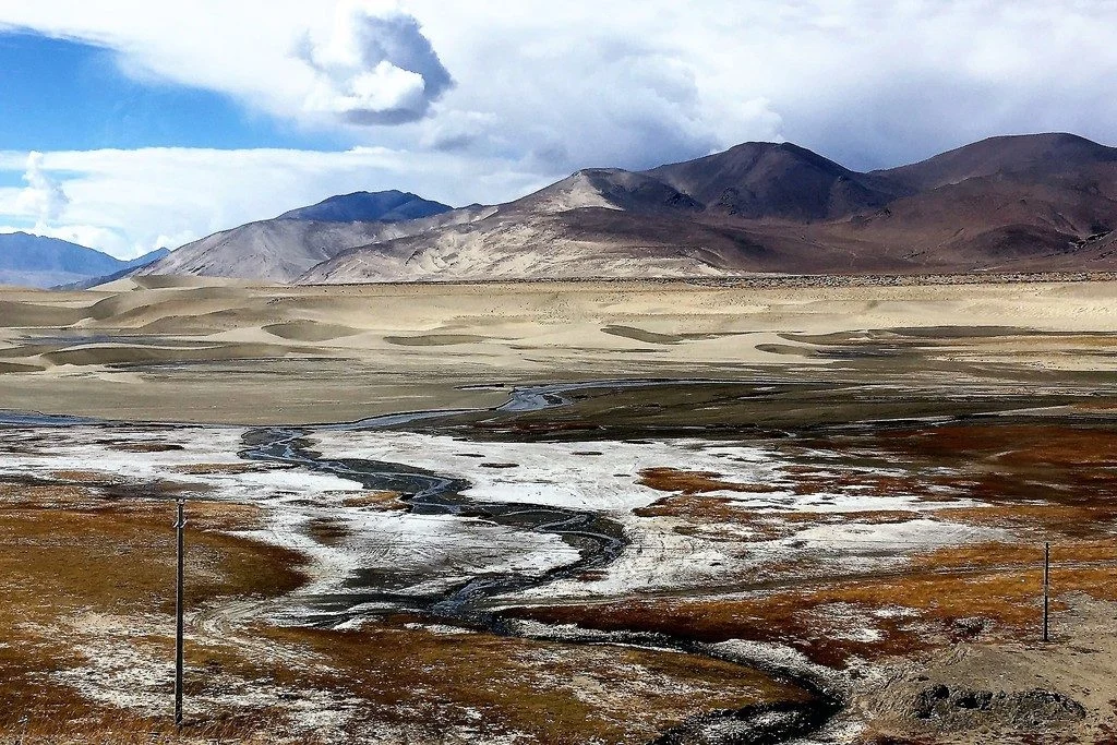
Roughly 50 million years ago, the Eurasian and Indian continental plates began to crash into each other, dramatically changing the landscape of modern-day Asia. The force of the collision caused the Earth to scrunch together at the zone of impact, subsequently forming the Himalayan mountain range. However, to the north of the crash, a stretch …[Read More]

Imaggeo on Mondays: A painted forest fire

Imaggeo on Mondays: A painted forest fire

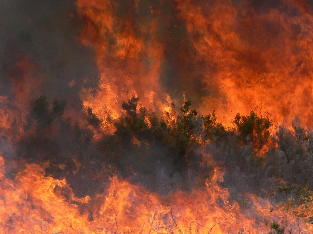
This week’s featured image may appear to be a painted landscape, but the picture is in fact a photo, taken ten years ago by Victoria Arcenegui, an associate professor at Miguel Hernández University in Spain, during a controlled forest fire in northern Portugal. The blaze is actually hot enough to distort the image, making some …[Read More]

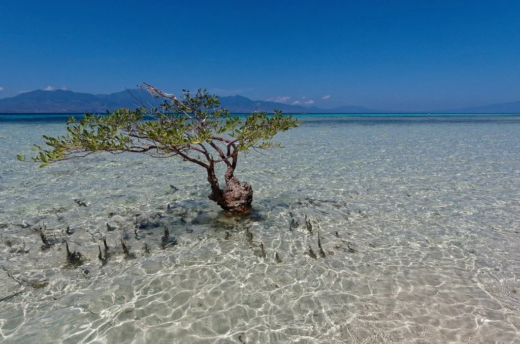
Imaggeo on Mondays: Indonesian mangroves and tsunamis

Imaggeo on Mondays: Indonesian mangroves and tsunamis

Pictured here is a solitary mangrove tree, rooted off the northern coast of the Indonesian island Flores. While this tree has the shallow sandy reef to itself, mangroves are often found clumped together in large forests covering tropical and subtropical coastlines. The propped-up roots of mangrove trees often tangle together, creating a dense natural barrier …[Read More]

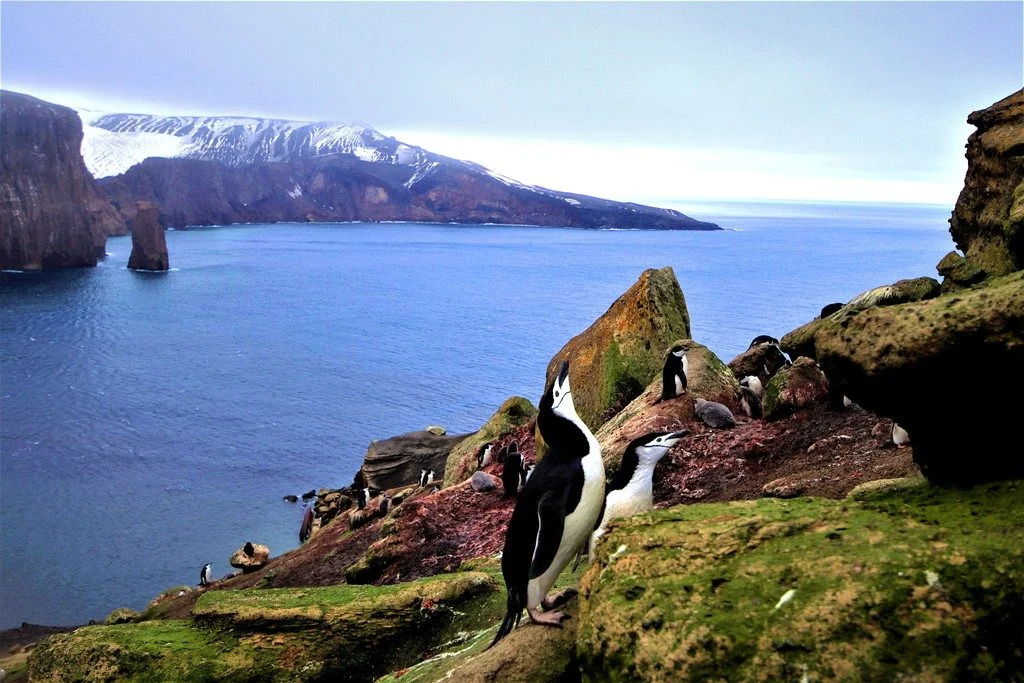
Imaggeo on Mondays: Penguins – a biogeochemical link between sea and land

Imaggeo on Mondays: Penguins – a biogeochemical link between sea and land

A couple of Chinstrap penguins (Pygoscelis antarctica) at their nesting site on Deception Island, maritime Antarctica. Sea birds contribute importantly to biogeochemical cycles in coastal ecosystems and on islands. Feeding on the marine food chain and nesting on land, they carry large amounts of marine nutrients into terrestrial ecosystems. This might be of particular importance …[Read More]