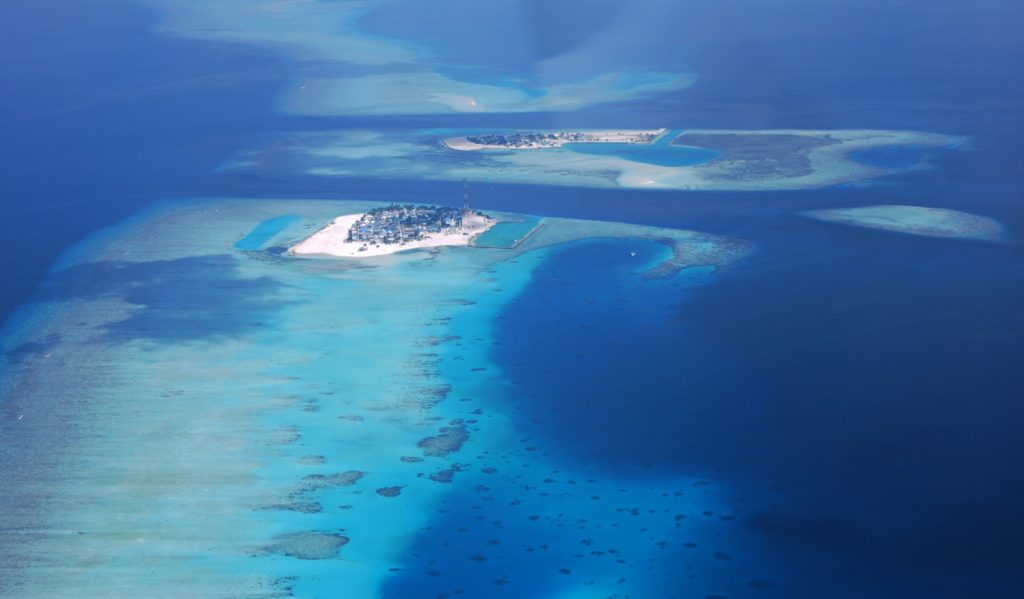
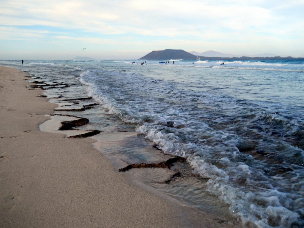
Covering a total area of 298 km², the idylic natural atolls and reefs of the Maldives stretch across the Indian Ocean. The tropical nation is famous for it’s crystal clear waters and picture perfect white sand beaches, but how did the 26 ring-shaped atolls and over 1000 coral islands form? Coral reefs commonly form immediately around an island, creating a fringe which projects seawards from the sh ...[Read More]
Ocean Sciences
GeoSciences Column: Catch of the day – what seabirds can tell us about the marine environment
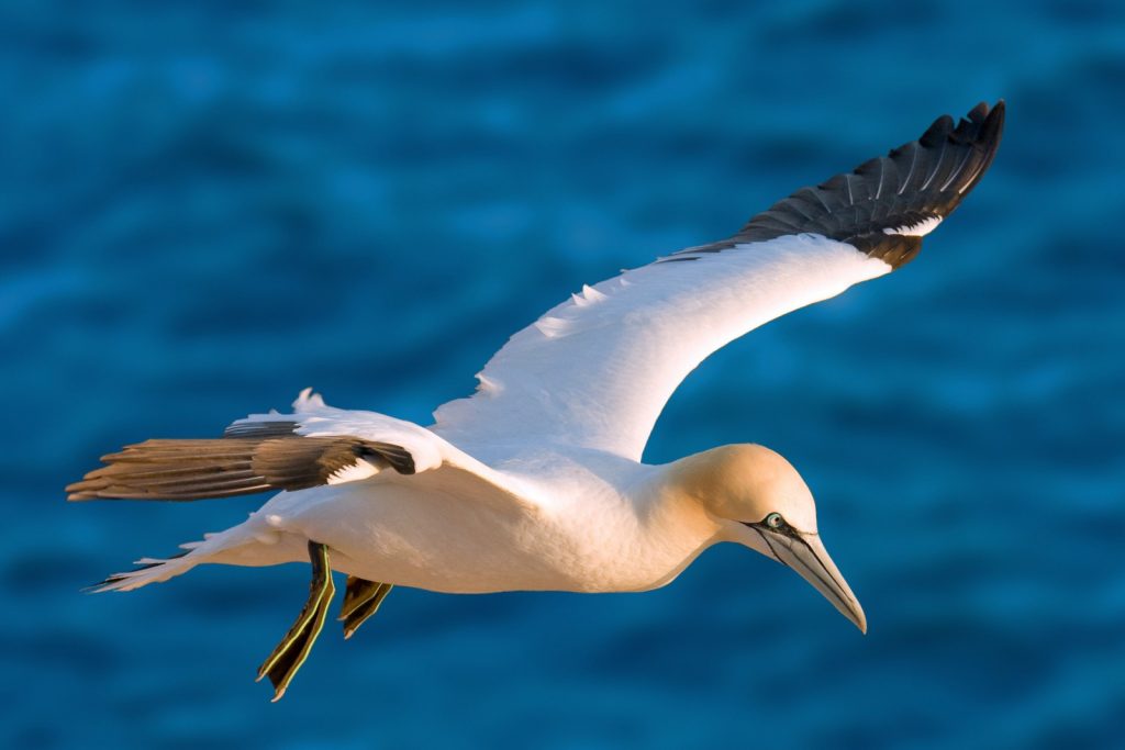
Off the coast of Germany, a male northern gannet (for ease, we’ll call him Pete) soars above the cold waters of the North Sea. He’s on the hunt for a shoal of fish. Some 40km due south east, Pete’s mate and chick await, patiently, for him to return to the nest with a belly full of food. Glints of silver just below the waves; the fish have arrived. Pete readies himself. Body rigid, wings tucked in ...[Read More]
Is it an earthquake, a nuclear test or a hurricane? How seismometers help us understand the world we live in
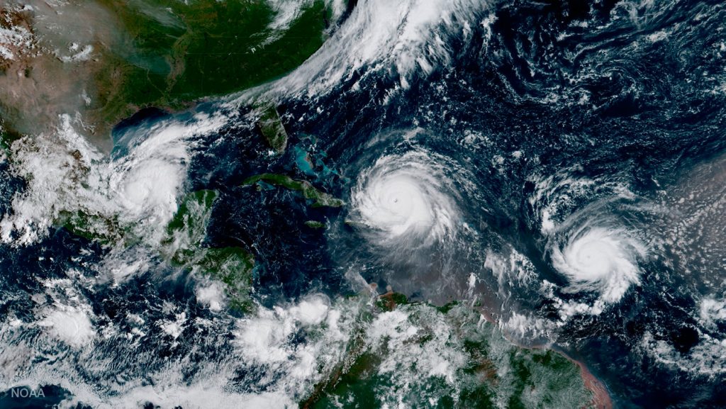
Although traditionally used to study earthquakes, like today’s M 8.1 in Mexico, seismometers have now become so sophisticated they are able to detect the slightest ground movements; whether they come from deep within the bowels of the planet or are triggered by events at the surface. But how, exactly, do earthquake scientists decipher the signals picked up by seismometers across the world? And mo ...[Read More]
August GeoRoundUp: the best of the Earth sciences from around the web
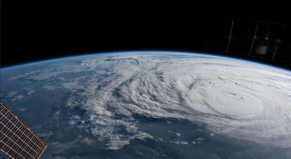
Drawing inspiration from popular stories on our social media channels, as well as unique and quirky research news, this monthly column aims to bring you the best of the Earth and planetary sciences from around the web. Major Stories On August 25th Hurricane Harvey made landfall along the southern coast of the U.S.A, bringing record breaking rainfall, widespread flooding and a natural disaster on a ...[Read More]
GeoSciences Column: When could humans last walk, on land, between Asia & America?
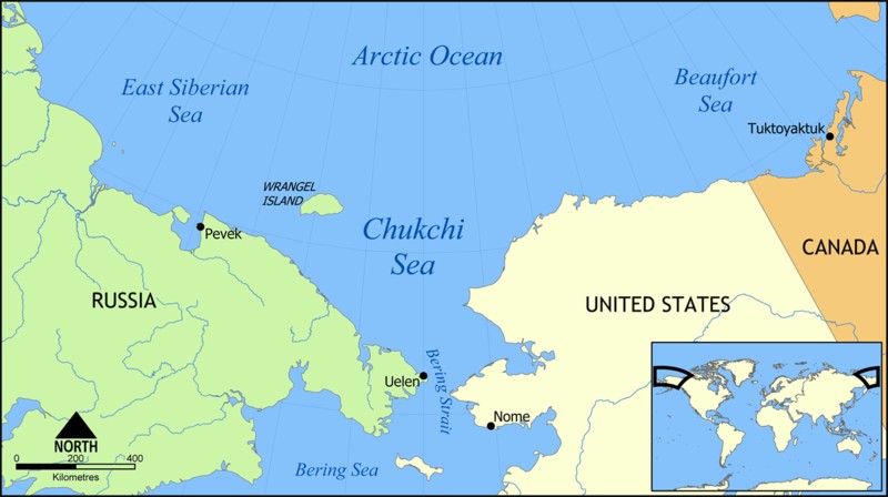
Though now submerged under 53 m of ocean waters, there once was a land bridge which connected North America with Asia, allowing the passage of species, including early humans, between the two continents. A new study, published in the EGU’s open access journal Climate of the Past, explores when the land bridge was last inundated, cutting off the link between the two landmasses. The Bering Strait, a ...[Read More]
June GeoRoundUp: the best of the Earth sciences from around the web
Drawing inspiration from popular stories on our social media channels, as well as unique and quirky research news, this monthly column aims to bring you the best of the Earth and planetary sciences from around the web. Major Story With June being the month when the world’s oceans are celebrated with World Ocean Day (8th June) and the month when the UN’s Ocean Conference took place, it seemed apt t ...[Read More]
May GeoRoundUp: the best of the Earth sciences from around the web
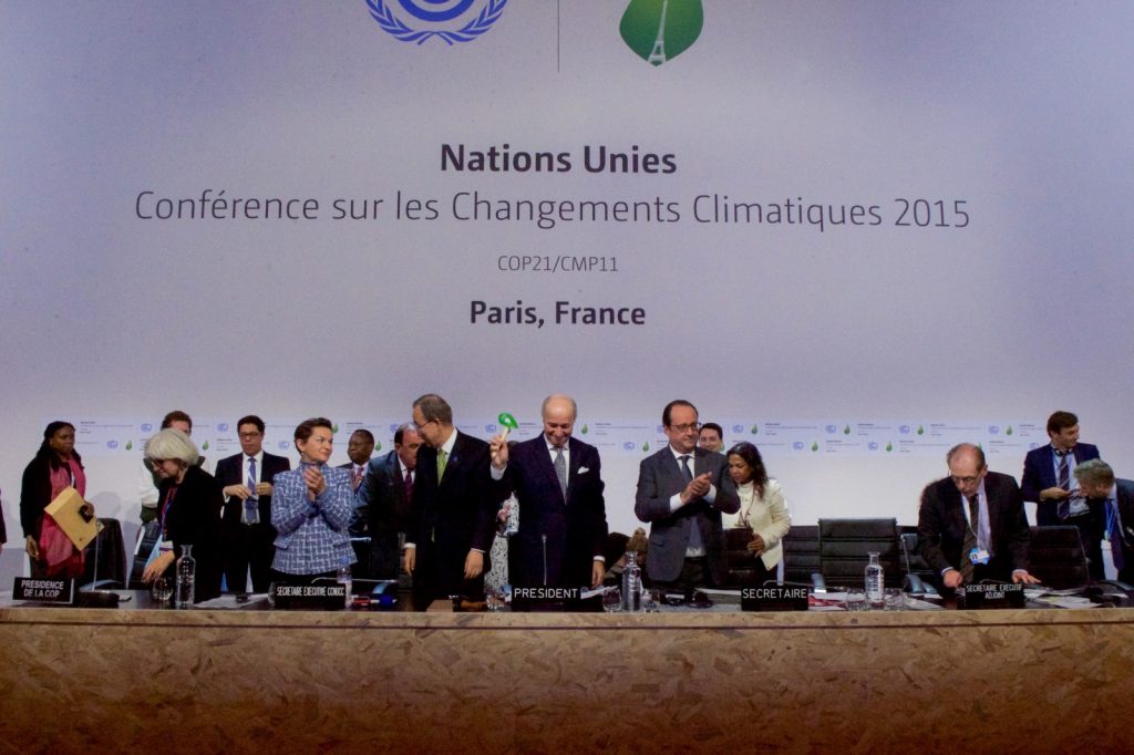
Drawing inspiration from popular stories on our social media channels, as well as unique and quirky research news, this monthly column aims to bring you the best of the Earth and planetary sciences from around the web. Major Story In the last couple of weeks of May, the news world was abuzz with the possibility of Donald Trump withdrawing from the Paris Agreement. Though the announcement actually ...[Read More]
Imaggeo on Mondays: Polar backbone (Arctic Ocean)
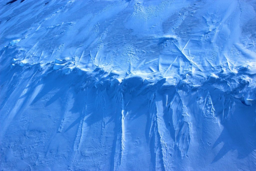
This image was taken during the Arctic Ocean 2016(AO16) expedition that ventured to the central regions of the Arctic Ocean, including the North Pole. It shows a pressure ridge, or ice ridge, as viewed from onboard the deck of the icebreaker Oden. It was quite striking that the ice ridge resembled an image of a spine – sea ice being a defining characteristic of the broader Arctic environment and b ...[Read More]
April GeoRoundUp: the best of the Earth sciences from the 2017 General Assembly
This month’s GeoRoundUp is a slight deviation from the norm. Instead of drawing inspiration from popular stories on our social media channels and unique or quirky research featured in the news, we’ve rounded up some of the stories which came out of researcher presented at our General Assembly (which took place last week in Vienna). The traditional format for the column will return in May! Major st ...[Read More]
Knowing the ocean’s twists and turns
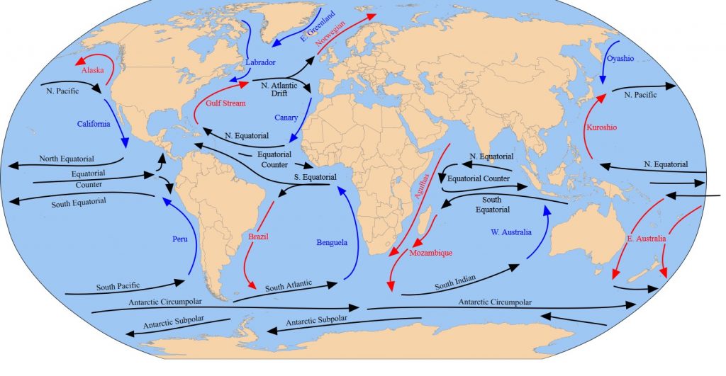
Navigating the ocean demands a knowledge of its movements. In the past, sailors have used this knowledge to their advantage, following the winds and the ocean currents to bring them on their way. Prior to mutiny in 1789, Captain Bligh – on the HMS Bounty – famously spent a month attempting to pass westward through the Drake Passage, around Patagonia’s Cape Horn. Here the westerly ...[Read More]