GeoLog

Imaggeo

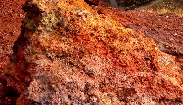
Imaggeo on Mondays: Mount Etna

Imaggeo on Mondays: Mount Etna

In this week’s Imaggeo on Monday’s image an almost Martian looking landscape, with ombre coloured soils, gives way to gently rolling hills, covered in luscious woods and vegetation. Were it not for the trees in the distance, you would be forgiven for thinking this image had been captured by a Mars rover. In truth, it is an entirely more earthly landscape: welcome to the slopes of Mt. Etna! Keep on ...[Read More]

Imaggeo on Mondays: Moulin on the Athabasca Glacier

The Athabasca Glacier is located in Jasper National Park, in the Canadian Rockies. It is the largest of seven named distributary glaciers carrying ice away from the Columbia Icefield, the largest icefield in the Rocky Mountains. This picture shows a summer meltwater stream running on the surface of the ice disappear in a moulin – a vertical shaft forming part of the glacier’s internal plumbing sys ...[Read More]

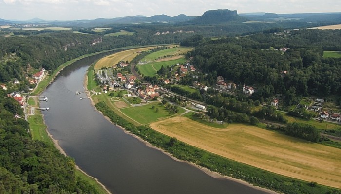
Imaggeo on Mondays: The organisation of a river system

Imaggeo on Mondays: The organisation of a river system

The picture shows the Elbe Rivervalley, one of the major rivers of Central Europe. It was taken from the Bastei Bridge close to Rathen, which towers 194 meters above the Elbe River in the state of Saxony in the south-eastern Germany. This region belongs to the national park known as Saxon Switzerland. Together with the Bohemian Switzerland in the Czech Republic, the Saxon Switzerland National Park ...[Read More]

Introducing the EGU Executive Office

With so many thinking the EGU’s activities are restricted to the organisation and running of the General Assembly, we thought we’d share a behind-the-scenes peek at the team who works year-round to promote the Earth, ocean and planetary sciences and the work of the members of the Union. At the EGU Executive Office in Munich, Germany, you’ll find the Union’s headquarters. With a team of six employe ...[Read More]

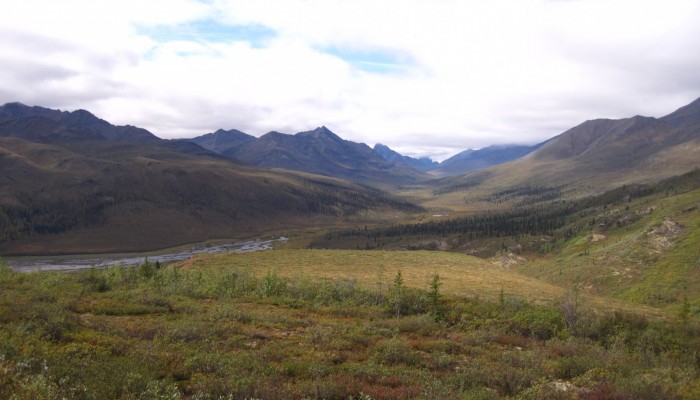
Imaggeo on Mondays: Tombstones Mountains

Imaggeo on Mondays: Tombstones Mountains

This week’s Imaggeo image is brought to you by one of our network bloggers, Matt Herod. Of the image, Matt said ” this particular one is one of my all time favourites. I have even blown it up and hung it on my wall at home,” and we couldn’t agree more; this Canadian landscape is breathtaking. Dive into this post and let Matt take you on a tour of the hydrology, archaeology ...[Read More]

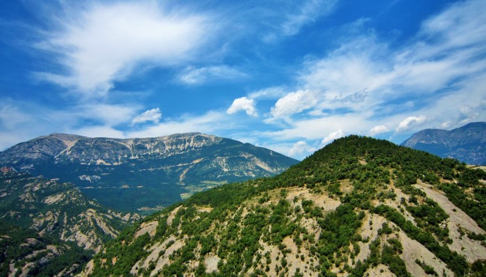
Imaggeo on Mondays: Mola de Lord

Imaggeo on Mondays: Mola de Lord

From the easterly Atlantic waters of the Bay of Biscay to the Catalan wild coast (Costa Brava) in the west, the Spanish Pyrenees stretch 430 km across the north of the country. At the foothills of the Catalan Pyrenees you’ll find the Pre-Pyrenees. Despite not reaching the soaring heights of the peaks of the Pyrenees, they nonetheless offer important insights into the geology of the range and stunn ...[Read More]

Imaggeo on Mondays: Dragon Blood Tree

Imaggeo on Mondays: Dragon Blood Tree

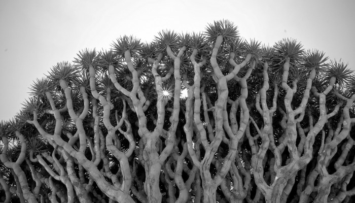
On a small and isolated island in the Indian Ocean you’ll find an endemic population of Dragon Blood Trees (Dracaena cinnabari). Burly, with an interesting umbrella-shaped fractal canopy, these unique trees are a sight to behold. To see them for yourself, you’ll have to travel to the little known Socotra archipelago. Off the coast of Somalia, but belonging to Yemen, the group of islands boast an i ...[Read More]

Imaggeo on Mondays: Velociraptor in the Zagros Mountains

How many times have you turned your head up to the sky and spotted familiar shapes in the clouds? Viewing structures from afar can reveal interesting, common and, sometimes, funny patterns. Satellite images are often used to map geological terrains. They offer a bird’s eye view of the planet and the opportunity to see broad scale structures, the scale of which would be impossible to grasp from the ...[Read More]

Imaggeo on Mondays: Mesopotamia, the ancient land between rivers

Mesopotamia, an area rich in history and considered as the cradle of civilisation, with the first populations establishing themselves in the region some 6000 years ago,lies between two great rivers: the Euphrates and the Tigris. The ancient territory spans areas of modern-day Iraq, Kuwait, the northeastern section of Syria and small sections of southeastern Turkey and southwestern Iran. The histor ...[Read More]

Imaggeo on Mondays: Mountains, rivers and agriculture

This week’s Imaggeo on Mondays image blends a range of geoscience disciplines. The post, by Irene Marzolff, a researcher at Johann Wolfgang Goethe-Universitaet, explores how the mountains, rivers and soils of the High Atlas in Morocco are intrinsically linked to the agriculture of the region. The image was taken in the southern slopes of the Western High Atlas, north of the city of Taroudann ...[Read More]