GeoLog

Tectonics and Structural Geology

Imaggeo on Mondays: Dragon Blood Tree
Imaggeo on Mondays: Dragon Blood Tree
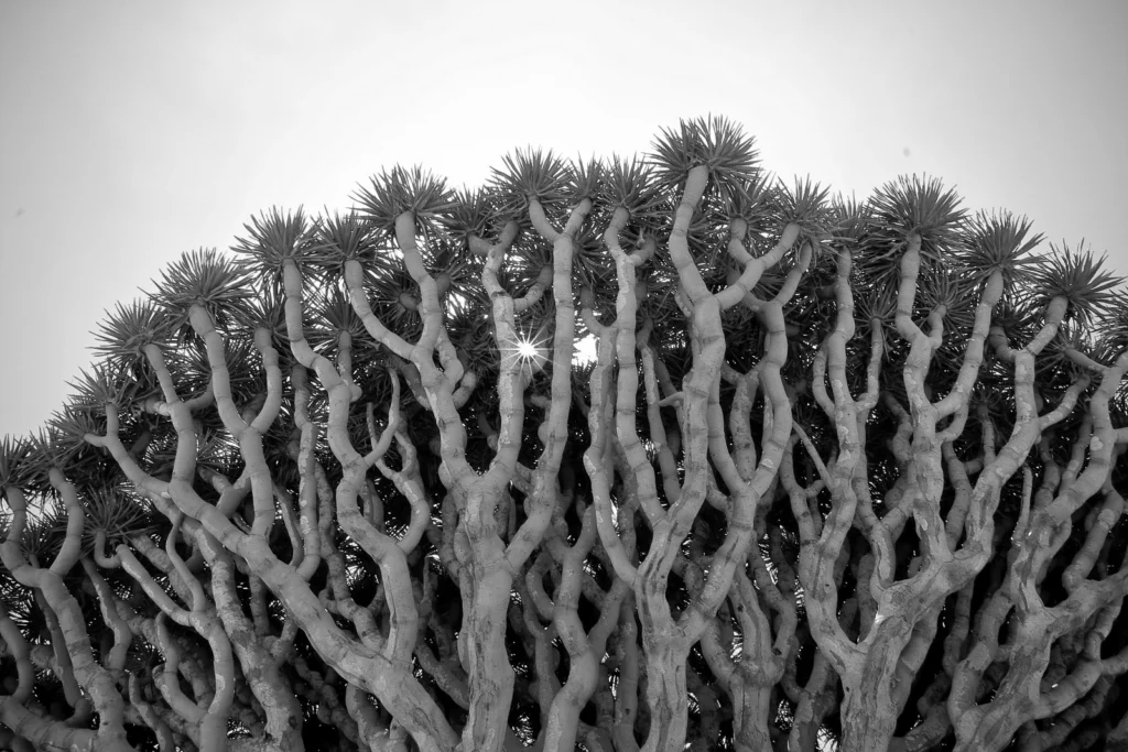
On a small and isolated island in the Indian Ocean you’ll find an endemic population of Dragon Blood Trees (Dracaena cinnabari). Burly, with an interesting umbrella-shaped fractal canopy, these unique trees are a sight to behold. To see them for yourself, you’ll have to travel to the little known Socotra archipelago. Off the coast of Somalia, but belonging to Yemen, the group of islands boast an i ...[Read More]

Imaggeo on Mondays: Velociraptor in the Zagros Mountains

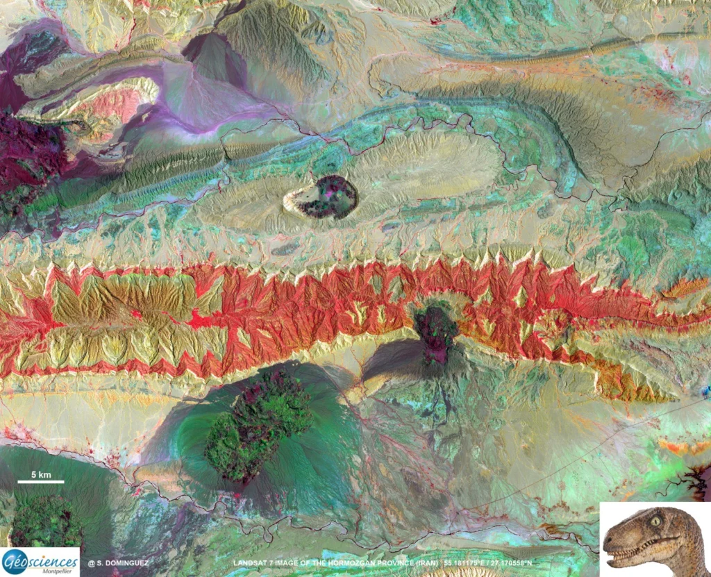
Imaggeo on Mondays: Velociraptor in the Zagros Mountains

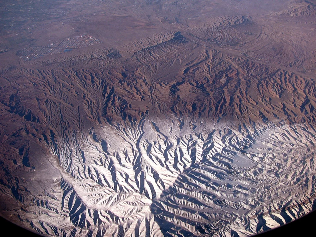
How many times have you turned your head up to the sky and spotted familiar shapes in the clouds? Viewing structures from afar can reveal interesting, common and, sometimes, funny patterns. Satellite images are often used to map geological terrains. They offer a bird’s eye view of the planet and the opportunity to see broad scale structures, the scale of which would be impossible to grasp from the ...[Read More]

The day the Earth trembled: A first-hand account of the 25 April Nepal earthquake

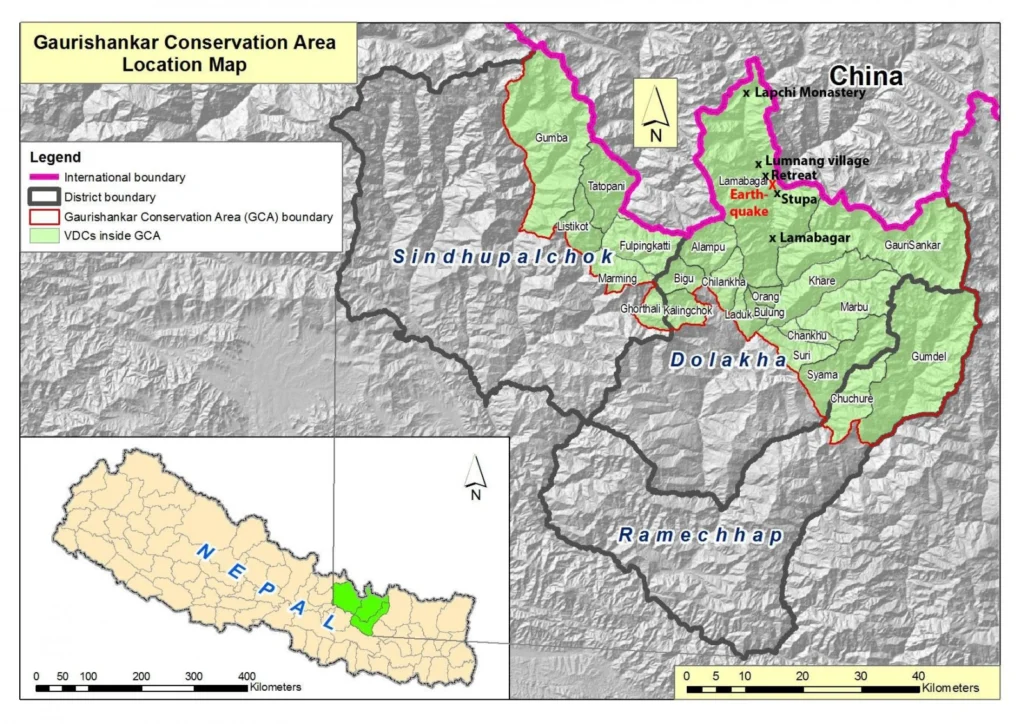
The day the Earth trembled: A first-hand account of the 25 April Nepal earthquake

On the 25th April 2015, Viktor Bruckman, a researcher at the Austrian Academy of Sciences, and a team of his colleagues were a few hours into a hike between the settlements of Lamabagar, in a remote area of northeastern Nepal, and the Lapchi Monastery when a magnitude 7.8 earthquake struck Nepal. Their journey cut short by the trembling Earth, stranded in the heights of the Himalayas, this is thei ...[Read More]

Imaggeo on Mondays: Scales of fluvial dissection

Imaggeo on Mondays: Scales of fluvial dissection

High peaks, winding river channels and a barren landscape all feature in today’s Imaggeo on Mondays image, brought to you by Katja Laute, a geomorphologist from Norway.  This photo was taken from an airplane flying over the Zagros Mountains in Iran. The Zagros Mountain range stretches south and west from the borders of Turkey and Russia to the Persian Gulf, and is Iran’s largest mountain ran ...[Read More]

Imaggeo on Mondays: A fold belt within a grain

Imaggeo on Mondays: A fold belt within a grain

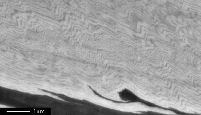
Tiny crinkly folds form the main basis of today’s Imaggeo on Mondays. Folding can occur on a number of scales; studying folds at all scales can reveal critical information about how rocks behave when they are squeeze and pinched, as described by Sina Marti, from the University of Basel. Although many geoscientists have seen such fold structures many times before, if you noticed the scale bar in th ...[Read More]

Imaggeo on Mondays: Foehn clouds

Imaggeo on Mondays: Foehn clouds

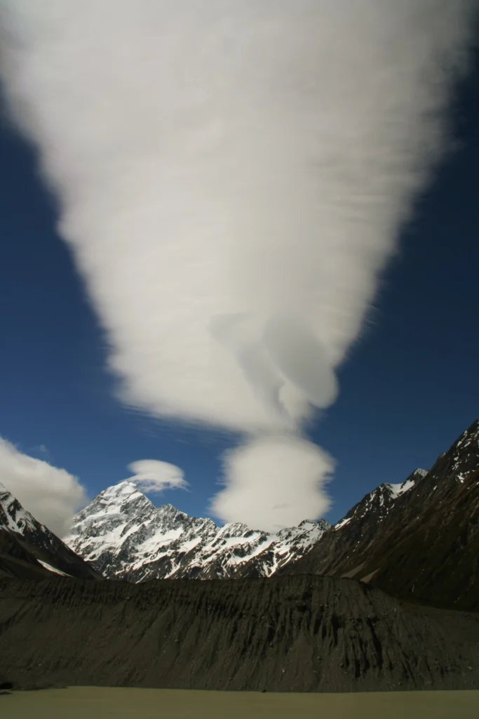
This week’s post is brought to you by Stefan Winkler, a Senior Lecturer in Quaternary Geology & Palaeoclimatology, who explains how the mountain tops of the Southern Alps become decorated by beautiful blanket-like cloud formations. The Sothern Alps of New Zealand are a geoscientifically dynamic environment in all aspects. They are arguably one of the youngest high mountain ranges in the ...[Read More]

Imaggeo on Mondays: The largest fresh water lake in world

Imaggeo on Mondays: The largest fresh water lake in world

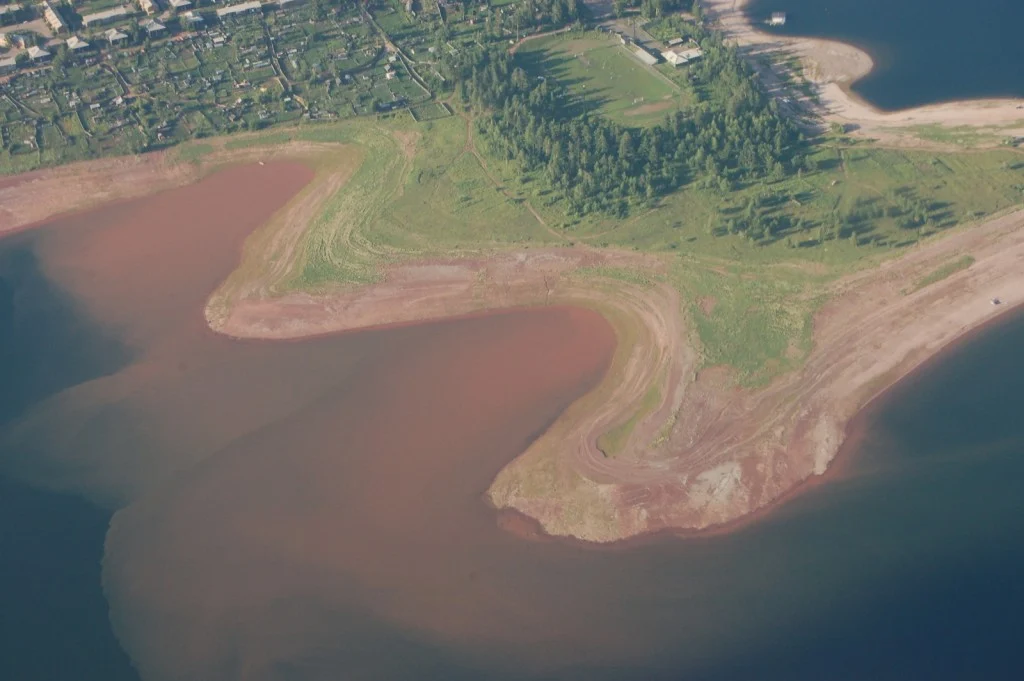
Most lakes in the Northern hemisphere are formed through the erosive power of glaciers during the last Ice Age; but not all. Lake Baikal is pretty unique. For starters, it is the deepest fresh water lake in the world. This means it is the largest by volume too, holding a whopping 23,615.39 cubic kilometres of water. Its surface area isn’t quite so impressive, as it ranks as the 7th largest in the ...[Read More]

Imaggeo on Mondays: An explosive cloud

Imaggeo on Mondays: An explosive cloud

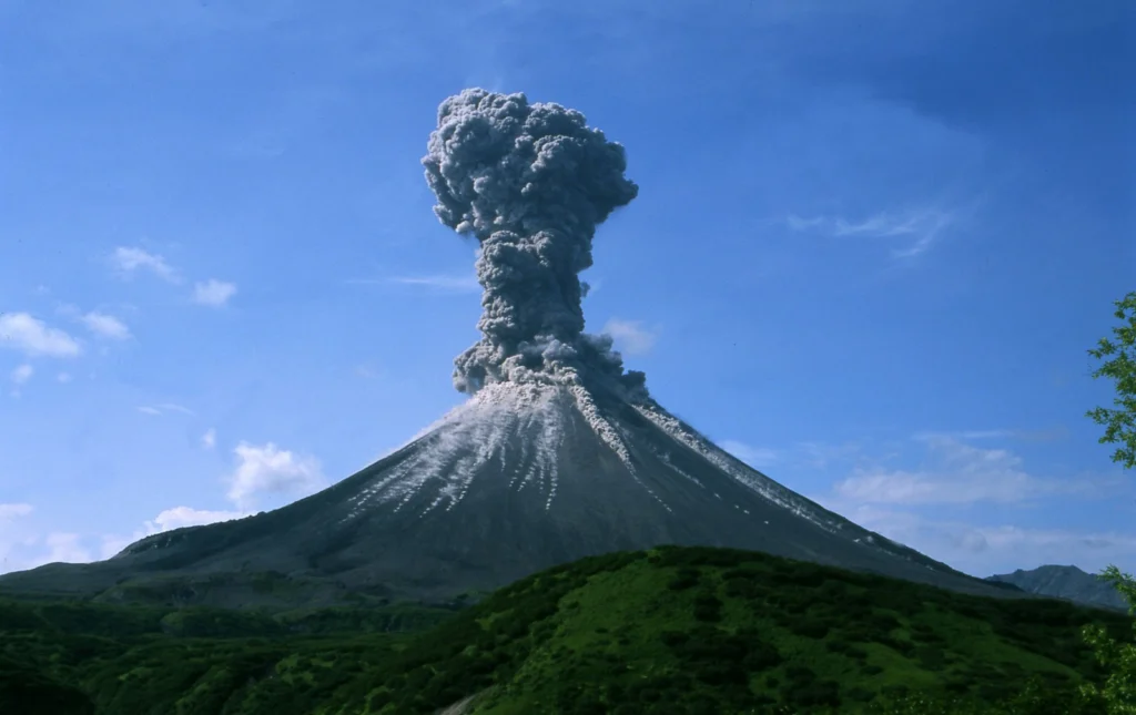
One of the world’s most volcanically active regions is the Kamchatka Peninsula in eastern Russia. It is the subduction of the Pacific Plate under the Okhotsk microplate (belonging to the large North America Plate) which drives the volcanic and seismic hazard in this remote area. The surface expression of the subduction zone is the 2100 km long Kuril-Kamchatka volcanic arc: a chain of volcanic isla ...[Read More]

Imaggeo on Mondays: Landslide on the Cantabrian coastline

Imaggeo on Mondays: Landslide on the Cantabrian coastline

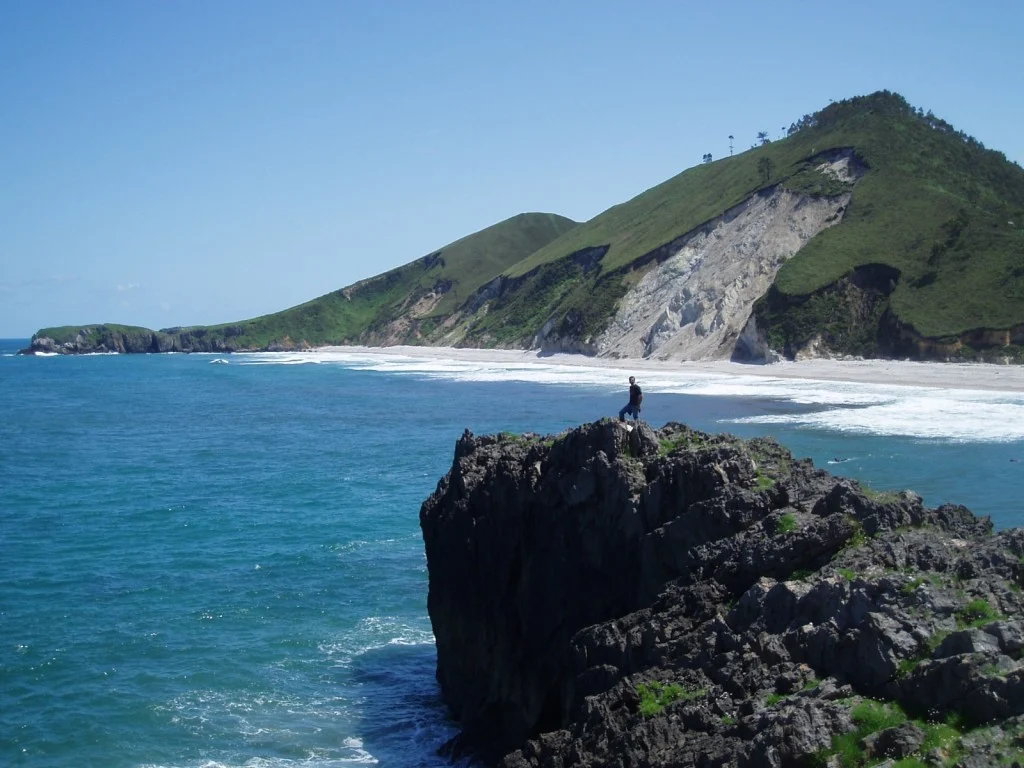
Shimmering blue seas, rocky outcrops and lush green hills sides; this idyllic landscape is punctuated by a stark reminder that geohazards are all around us. Irene Pérez Cáceres, a PhD student at the University of Granada (Spain) explains the geomorphology behind this small scale landslide on the Asturian coastline. This picture was taken in May 2011 in the coast of Llanes (Asturias, Spain). I was ...[Read More]

GeoEd: A risky business

GeoEd: A risky business

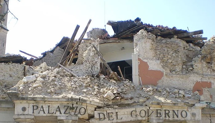
In this month’s GeoEd post, Sam Illingworth explores the pitfalls of being a scientist in the public eye. Following the recent acquittal of 6 geoscientists on manslaughter charges after ‘failing’ to predict the 2009 L’Aquila earthquake, is it time we thought about improving how risk is communicated to the wider public? At the beginning of November of this year, six Italian scientists were acquitte ...[Read More]