GeoLog

EGU Scientific Divisions

Underwater robot shares ocean secrets

Underwater robot shares ocean secrets

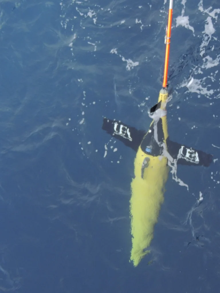
Buoyancy-driven drones are helping scientists paint a picture of the ocean with sound. Around the world, silent marine robots are eavesdropping on the ocean and its inhabitants. The robots can travel 1000 metres beneath the surface and cover thousands of kilometres in a single trip, listening in on the ocean as they go. These bright yellow bots, known as Seagliders, are about the size of a diver, ...[Read More]

Imaggeo on Mondays: Cordillera de la Sal

Imaggeo on Mondays: Cordillera de la Sal

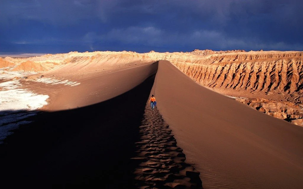
The photograph shows the Valle de la Luna, part of the amazing Cordillera de la Sal mountain range in northern Chile. Rising only 200 metres above the basin of the Salar de Atacama salt flat, the ridges of the Cordillera de la Sal represent a strongly folded sequence of clastic sediments and evapourites (salt can be seen in the left portion of the image), with interspersed volcanic material. This ...[Read More]

Shaking in the city

Shaking in the city

Bruce Springsteen was playing at Barcelona’s football stadium on 14th May 2016. 65,000 people were there to hear him as he launched into an encore including “Born in the USA”, “Dancing in the Dark” and “Shout”. But unknown to Springsteen, just 500 metres away, in the basement of the Institute of Earth Sciences Jaume Almera (ICTJA), Jorde Díaz and his colleagues were also listening in via their bro ...[Read More]

How to make a planet habitable

How to make a planet habitable

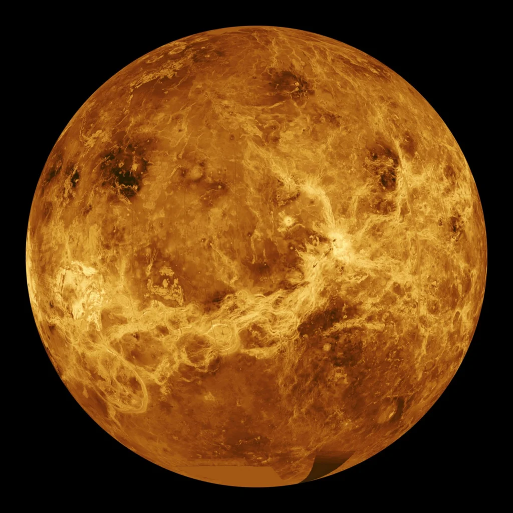
Exoplanets without plate tectonics could harbour life, contrary to previous belief For a planet to be habitable, it needs a stable climate. On Earth, the movement of tectonic plates ensures old crust is recycled and new crust is created and weathered. This cycling of rock consequently overturns the planet’s carbon, which keeps the climate in check. While we have plate tectonics on Earth, many othe ...[Read More]

Imaggeo on Mondays: Iceberg viewing in Cape Spear, Newfoundland, Canada

Imaggeo on Mondays: Iceberg viewing in Cape Spear, Newfoundland, Canada

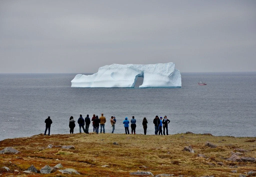
Cape Spear in Newfoundland, Canada is the easternmost location in North America and one of the few places in the world where you can contemplate icebergs from the shore. Every year, about 400 to 800 bergs journey down to this particular point. These 10,000-year-old ice giants drift along the northern shore of Newfoundland with the Labrador Current. About 90 percent of these icebergs come from west ...[Read More]

Imaggeo on Mondays: Mount Elgon, a balance between fertility and destruction

Imaggeo on Mondays: Mount Elgon, a balance between fertility and destruction

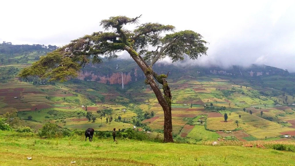
This colourful cropland patchwork is located on the fertile flanks of Mount Elgon, Uganda at an elevation of 2,400 metres above sea level. The extinct shield volcano, the oldest in East Africa, is mostly covered in clouds and provides an infinite flow of wonderful waterfalls. Due to the climate at this elevation, the cultivated crops experience more temperate weather conditions compared to crops m ...[Read More]

Imaggeo on Mondays: The Crossroads of Flood and Drought

Imaggeo on Mondays: The Crossroads of Flood and Drought

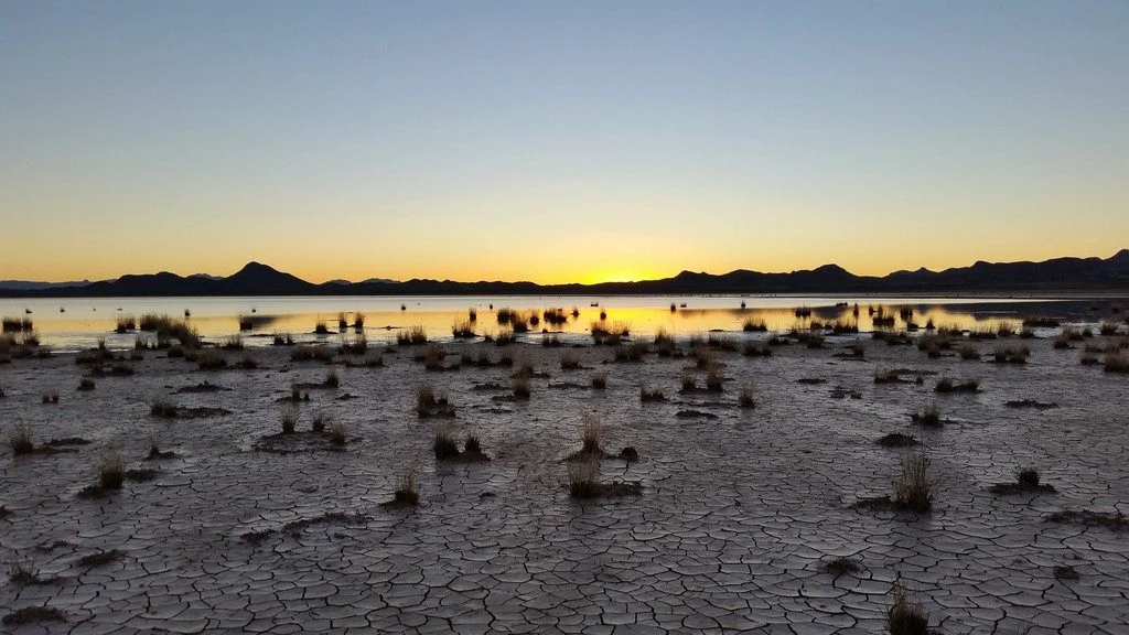
This picture was taken on the way back from collecting field measurements at the Lordsburg Playa in southwestern New Mexico, USA. The setting sun highlights the contrast between the dry, cracked soil and the standing water from antecedent rainfall. A playa is a flat topographic depression in arid or semi-arid regions that contains a large amount of deposited sediment. When the surface of the playa ...[Read More]

GeoTalk: How will large Icelandic eruptions affect us and our environment?

GeoTalk: How will large Icelandic eruptions affect us and our environment?

Geotalk is a regular feature highlighting early career researchers and their work. In this interview we speak to Anja Schmidt, an interdisciplinary researcher at the University of Cambridge who draws from atmospheric science, climate modelling, and volcanology to better understand the environmental impact of volcanic eruptions. She is also the winner of a 2018 Arne Richter Award for Outstanding Ea ...[Read More]

Imaggeo on Mondays: Chilean relics of Earth’s past

Imaggeo on Mondays: Chilean relics of Earth’s past

As Earth’s environment changes, it leaves behind clues used by scientists to paint portraits of the past: scorched timber, water-weathered shores, hardened lava flows. Chile’s Conguillío National Park is teeming with these kind of geologic artifacts; some are only a few years old while others have existed for more than 30 million years. The photographer Anita Di Chiara, a researcher at Lancaster U ...[Read More]

Geosciences Column: The science behind snow farming

Geosciences Column: The science behind snow farming

For roughly the last decade, some ski resorts and other winter sport facilities have been using a pretty unusual method to ensure white slopes in winter. It’s called snow farming. The practice involves collecting natural or artificially made snow towards the end of winter, then storing the frozen mass in bulk over the summer under a thick layer of sawdust, woodchips, mulch, or other insulating mat ...[Read More]