GeoLog

EGU Scientific Divisions

Why is research in Antarctica so important?
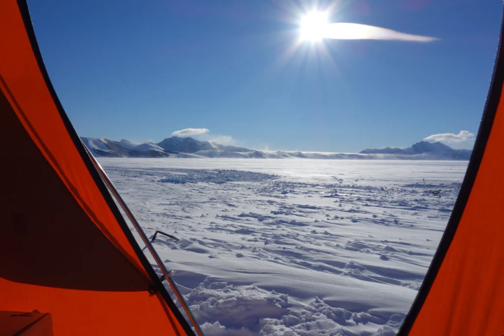
Why is research in Antarctica so important?
On the 1st December 1959 the Antarctic Treaty was signed by 12 nations, setting aside nearly 10% of the Earth “forever to be used exclusively for peaceful purposes… in the interests of all mankind.” In the years that followed more and more countries signed the agreement, until today when the agreement has been signed by …[Read More]

Imaggeo On Monday: Desert Varnish, Antarctica Style

Imaggeo On Monday: Desert Varnish, Antarctica Style

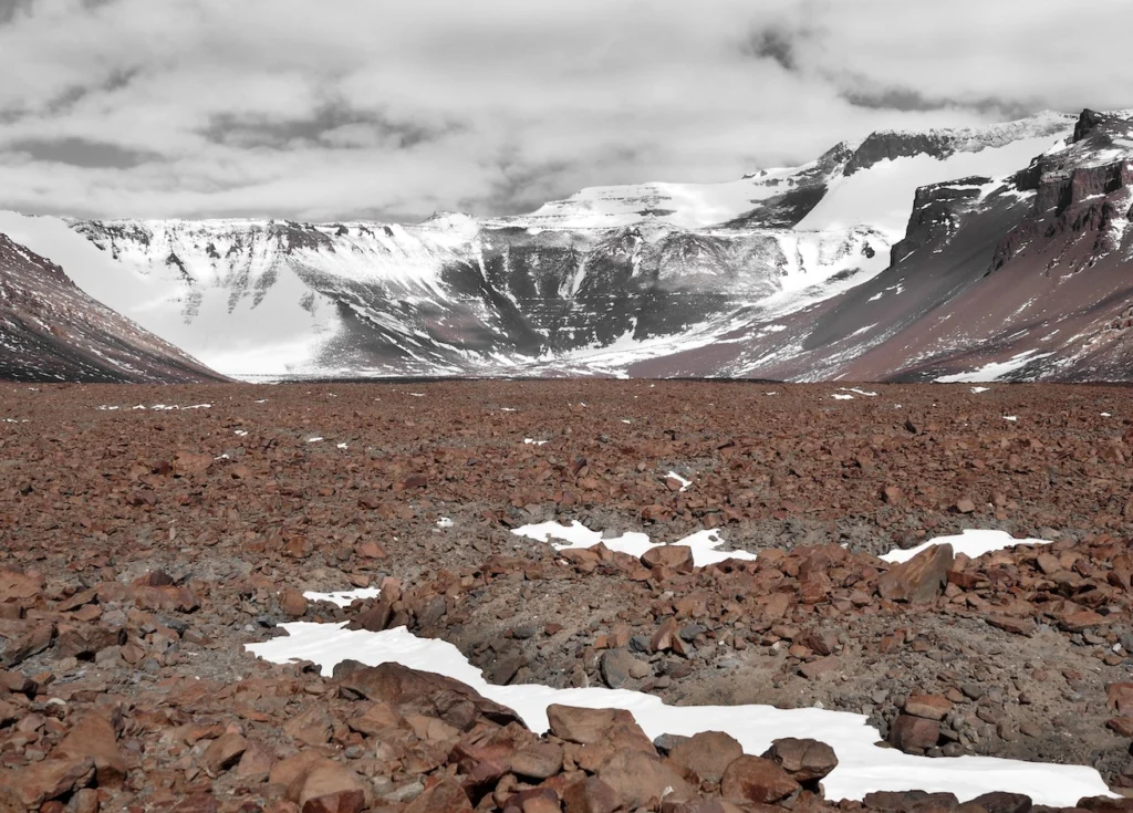
This photograph highlights the oxidized surface of diorite boulders, which fall from the ice at the base of the Mullins Glacier in Beacon Valley, Antarctica when the ice moves directly from a solid state into a gas state, without becoming a liquid in between (a process called sublimation). The particular features (morphology) of the varnish …[Read More]

How many transdisciplinary researchers does it take to find out how an ocean sinks?

How many transdisciplinary researchers does it take to find out how an ocean sinks?

There is no shortage of increasingly uphill challenges in the current research landscape, especially for Early Career researchers: discouragingly long-standing science questions; minimal freedom for developing methodologies; invariably ambivalent proposal reviews; an academic grading scheme based mainly on publication productivity and impact; and enforced competition for few permanent research positions, just to name a few. …[Read More]

Imaggeo On Monday: Great Sand Dunes Sunset

Imaggeo On Monday: Great Sand Dunes Sunset

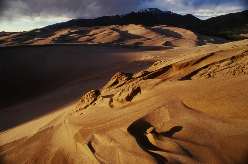
On a late afternoon in Colorado’s Great Sand Dunes, the sun came out from behind the clouds for a brief moment before it went behind the horizon, illuminating the stoss side of an eroding dune. Sand originated from lacustrine deposits in the San Luis Valley; the Sangre de Cristo mountains, which can be seen in …[Read More]

Using Milankovitch Cycles to create high-resolution astrochronologies

Using Milankovitch Cycles to create high-resolution astrochronologies

This year marks the 100th anniversary of Milutin Milankovitch’s first paper about Earth’s climate. Milankovitch argued that the amount of solar radiation Earth receives, and hence its climate, varies cyclically as its orbit changes due to gravitational tugs from the other planets. His climate theory fell into disrepute during the 1950’s but was rehabilitated in …[Read More]

Imaggeo On Monday: Erosion and suspension

Imaggeo On Monday: Erosion and suspension

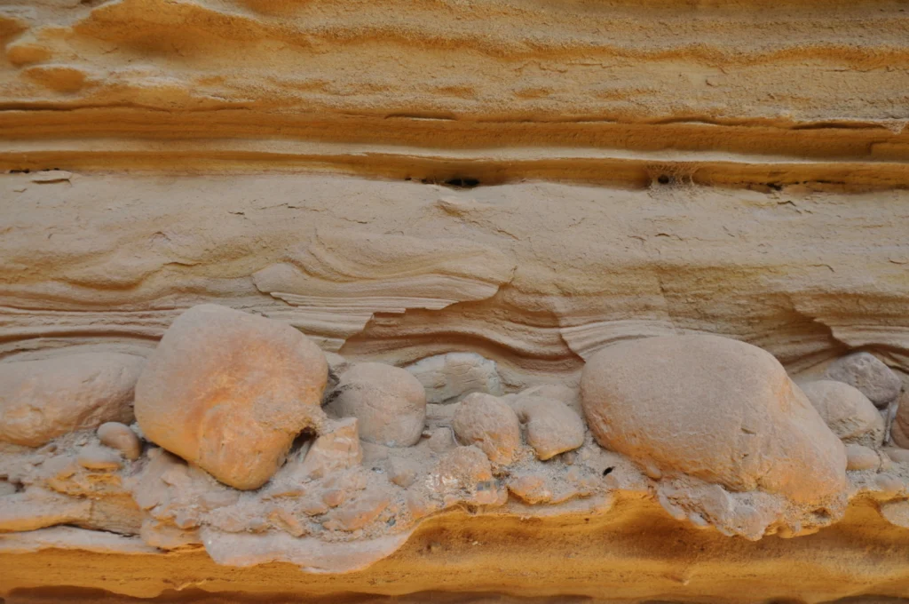
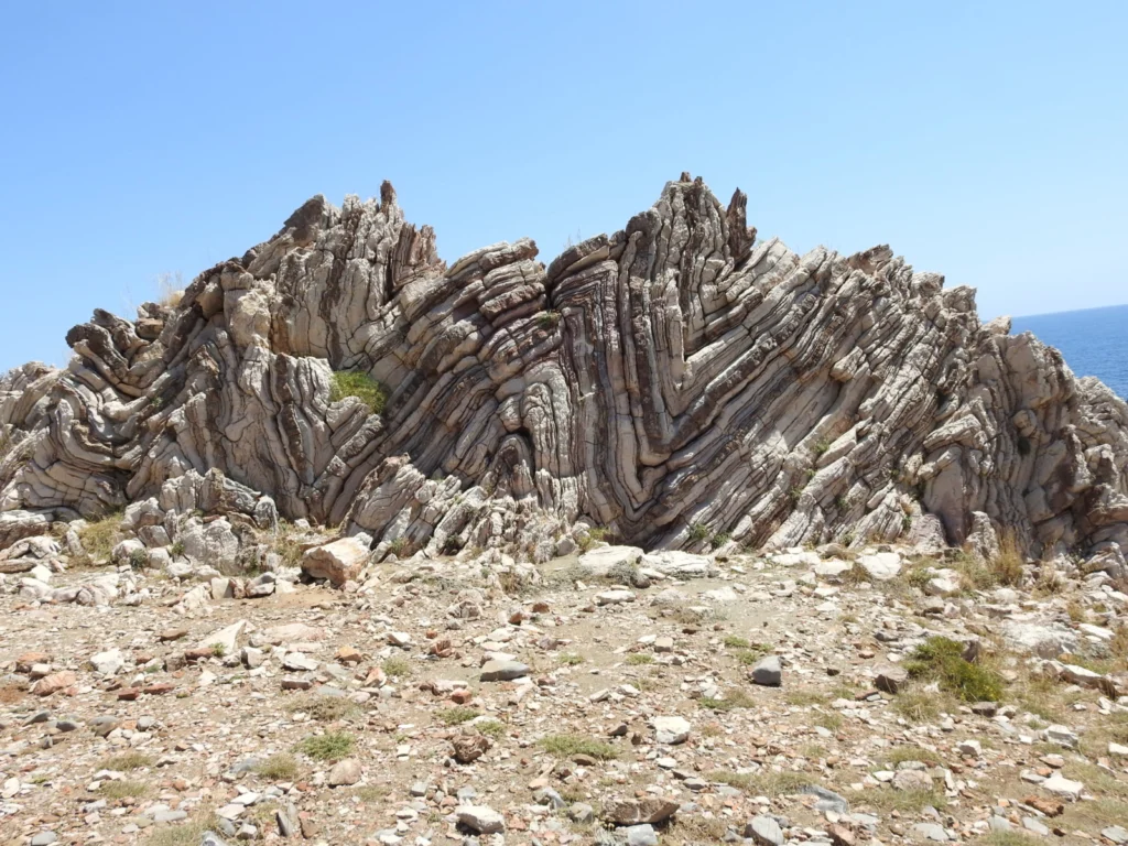
This image shows bottomset beds from the Kerinitis Gilbert-type delta. The Pleistocene delta uplifts along the active southern margin of the Corinth rift in Greece. A bottomset bed is one where layers of sedimentary material lying along the bottom of a body of water near the point of entry of a stream are subsequently covered …[Read More]

GeoPolicy: How geoscience can support the European Green Deal

GeoPolicy: How geoscience can support the European Green Deal

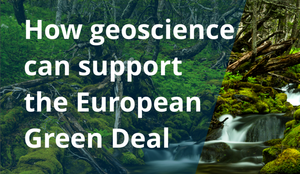
Earlier this year, the EGU hosted the Integrating science into the EU Green Deal event in collaboration with the Intergroup on Climate Change, Biodiversity and Sustainable Development to outline how the geosciences can most effectively support the European Green Deal and ensure its ambitious biodiversity and zero-pollution targets are reached. The event provided policymakers, scientists and …[Read More]

Imaggeo On Monday: Micro and Nano composition

Imaggeo On Monday: Micro and Nano composition

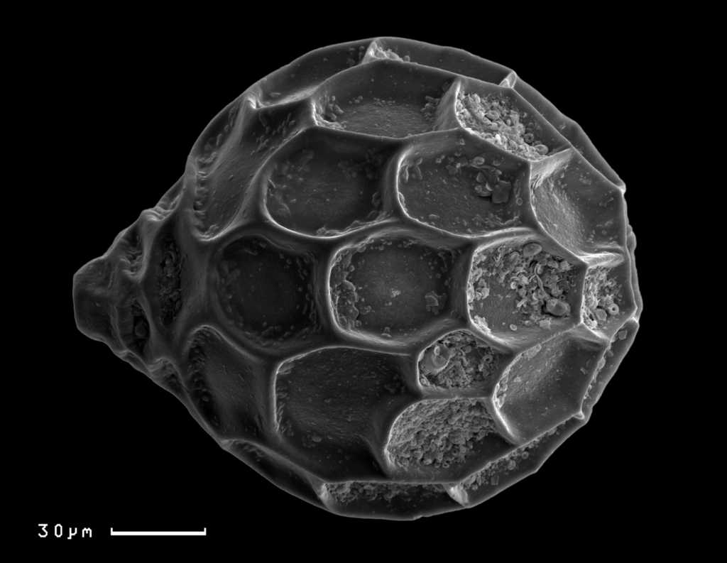
This image shows benthic foraminifera species of Favulina hexagona (Williamson, 1848) together with nanofossils enclosed inside the shell hexagons. This modern foraminifera species was found in the sediment core retrieved from the western slope of the Rio Grande Rise (western South Atlantic).   Description by Liubov Kuleshova, after the description on imaggeo.egu.eu.   Imaggeo is the …[Read More]

Geosciences Column: Spatial seismic hazard in western Indonesia – a new, adaptive, approach

Geosciences Column: Spatial seismic hazard in western Indonesia – a new, adaptive, approach

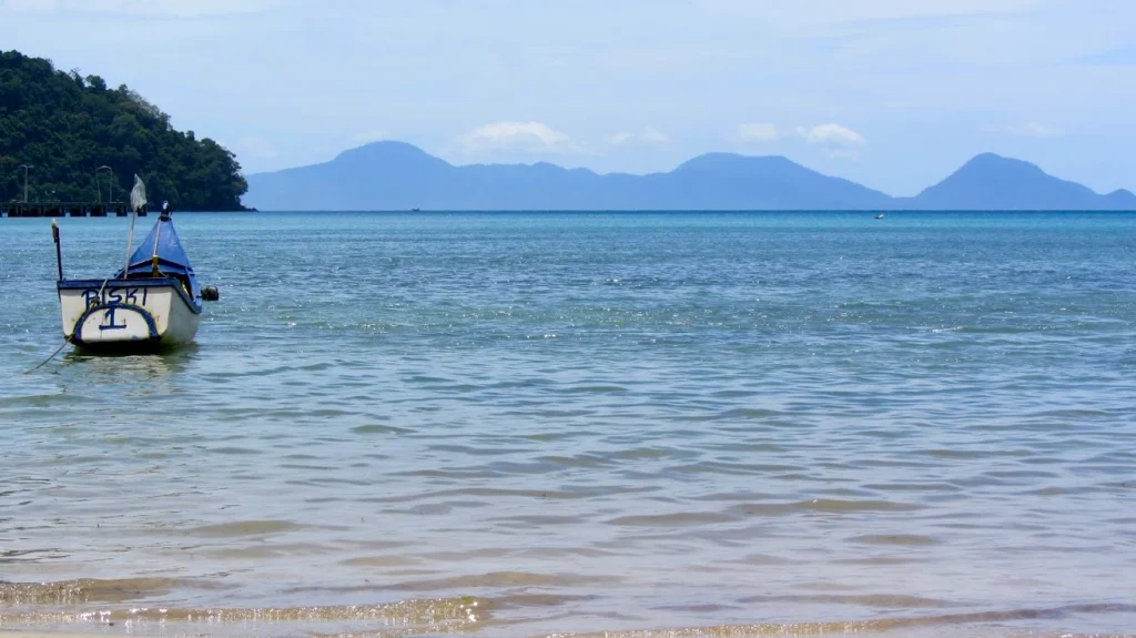
A Natural Hazards Earth System Sciences (NHESS) paper proposes a new sampling method for reducing uncertainty in geographical location in seismic hazard risk analysis, with implications for the insurance industry and risk communication in general.   Globally, rapid urbanisation is increasing the risk of exposure of human populations and infrastructure to natural hazards, including earthquakes …[Read More]