
Since 2010, the European Geosciences Union (EGU) has been holding an annual photo competition and exhibit in association with its General Assembly and with Imaggeo – the EGU’s open access image repository. In addition to the still photographs, imaggeo also accepts moving images – short videos – which are also a part of the annual photo contest. However, 20 or more images have to be submitted ...[Read More]
Imaggeo on Mondays: Half dome at sunset
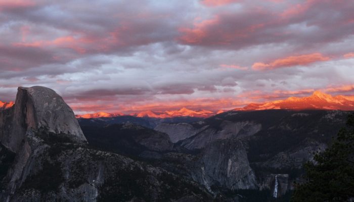
Half dome at sunset . Credit: Alessandro Demarchi (distributed via imaggeo.egu.eu)
Yosemite’s Half Dome stands, majestic, over a granite dominated terrain in the Yosemite Valley area; one of the most beautiful landscapes in northern America, and arguably, the world – it is also an Earth scientist’ playground. Stamped into the west slope of the Sierra Nevada range, the Yosemite Valley is a collection of lush forests, deep valleys, meandering rivers and streams, all punctua ...[Read More]
Imaggeo on Mondays: Earth Wave
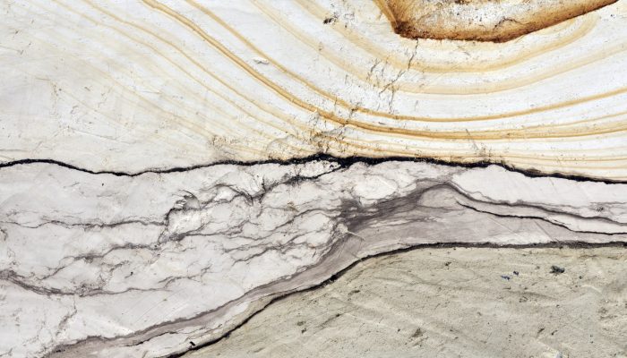
Earth Wave n˚1 . Credit: Pierre Antoine (distributed via imaggeo.egu.eu)
Take a stroll along the norther beaches of the French Channel Coast, some kilometers east from the entrance of the Channel Tunnel, and you’ll encounter an imposing cliff of soft, sandy composition which dominates the landscape. On close inspection, the sediments which make up the Quaternary aged deposits of the Sangatte Cliff, are beautiful, revealing intricate patterns which hold the key to the g ...[Read More]
GeoTalk: A smart way to map earthquake impact

Smart seismology. Credit: Kyle Spradley, CAFNR.
Last week at the 2016 General Assembly Sara, one of the EGU’s press assistants, had the opportunity to speak to Koen Van Noten about his research into how crowdsourcing can be used to find out more about where earthquakes have the biggest impact at the surface. Firstly, can you tell me a little about yourself? I did a PhD in structural geology at KULeuven and, after I finished, I started to ...[Read More]