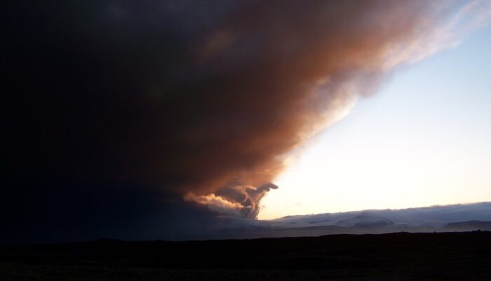
This photo depicts the famous ash cloud of the Icelandic volcano Eyjafjallajökull, which disrupted air traffic in Europe and over the North Atlantic Ocean for several days in spring 2010. The picture was taken during the initial phase of the eruption south of the town of Kirjubæjarklaustur, at the end of a long field work day. Visibility inside the ash cloud was within only a few metres. The erupt ...[Read More]
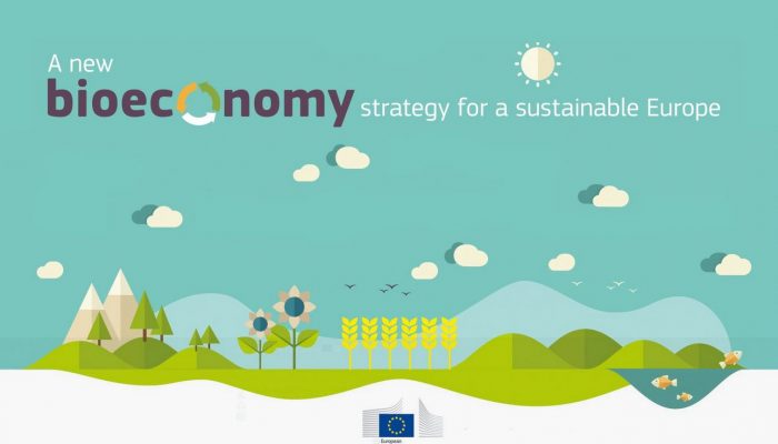
GeoPolicy: the EU’s Bioeconomy Strategy – what is it and how is it linked with geoscience?
What is the bioeconomy? Global threats such as climate change, ocean acidification, land degradation and an ever-expanding population means that it’s essential for us to reduce our environmental impact while still meetings our demand for food, resources and energy. The bioeconomy covers all sectors and systems that rely on biological resources and their functions including renewable biological re ...[Read More]
September GeoRoundUp: the best of the Earth sciences from around the web
Drawing inspiration from popular stories on our social media channels, major geoscience headlines, as well as unique and quirky research, this monthly column aims to bring you the latest Earth and planetary science news from around the web. Major stories This month has been a whirlwind of Earth and space science news; the majority focusing on natural hazards. Powerful cyclones, earthquakes, and ts ...[Read More]
Imaggeo on Mondays: All seasons in one day
Storm fronts arrive on Britain’s west coast in waves throughout the winter (and very often the summer too!) It is not unusual to see rain falling on a beach with hail and snow lying, whilst a rainbow pierces the clouds. Description by Mary Gagen, as it first appeared on imaggeo.egu.eu. Imaggeo is the EGU’s online open access geosciences image repository. All geoscientists (and others) can su ...[Read More]