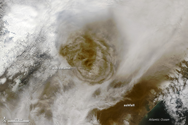
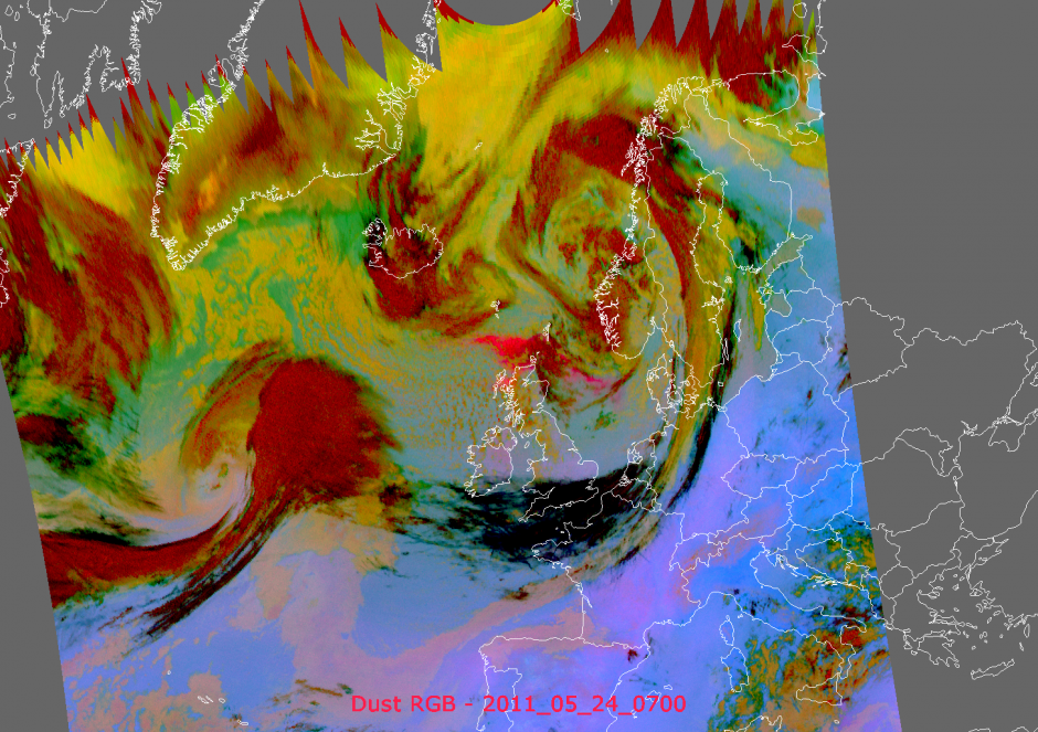
The Grímsvötn volcano in Iceland started erupting on 21 May 2011. Icelandic airspace was closed soon after with flights now being affected in the United Kingdom.
This post brings together some good sources of imagery and information. These sources are not endorsed by the European Geosciences Union, more a resource letting people know what is available. If you know of a good source of information, let us know in the comments or email us.
The UK Met Office is responsible for ash cloud monitoring for Northern European airspace. Their pages include warnings issues and maps showing predicted ash cloud movements.
NASA Earth Observatoryimagery is available (such as below). Including commentary on the image.
The European Organisation for the Exploitation of Meteorological Satellites (EUMETSAT) has imagery and animcationsfrom various satellites, including real-time images. An example is shown below.
News and information from Iceland itself is available from the Iceland Met Office and the University of Iceland Institute of Earth Sciences which has an Eruption in Grímsvötn 2011 page, which contains photos, satellite imagery, GPS time series, chemical composition information, and relevant scientific publications alongside status reports.
Relevant abstracts about the Grímsvötn volcano that were presented at the EGU General Assembly 2011 are Óladóttir et al., Thordarson et al., and Magnússon et al..


