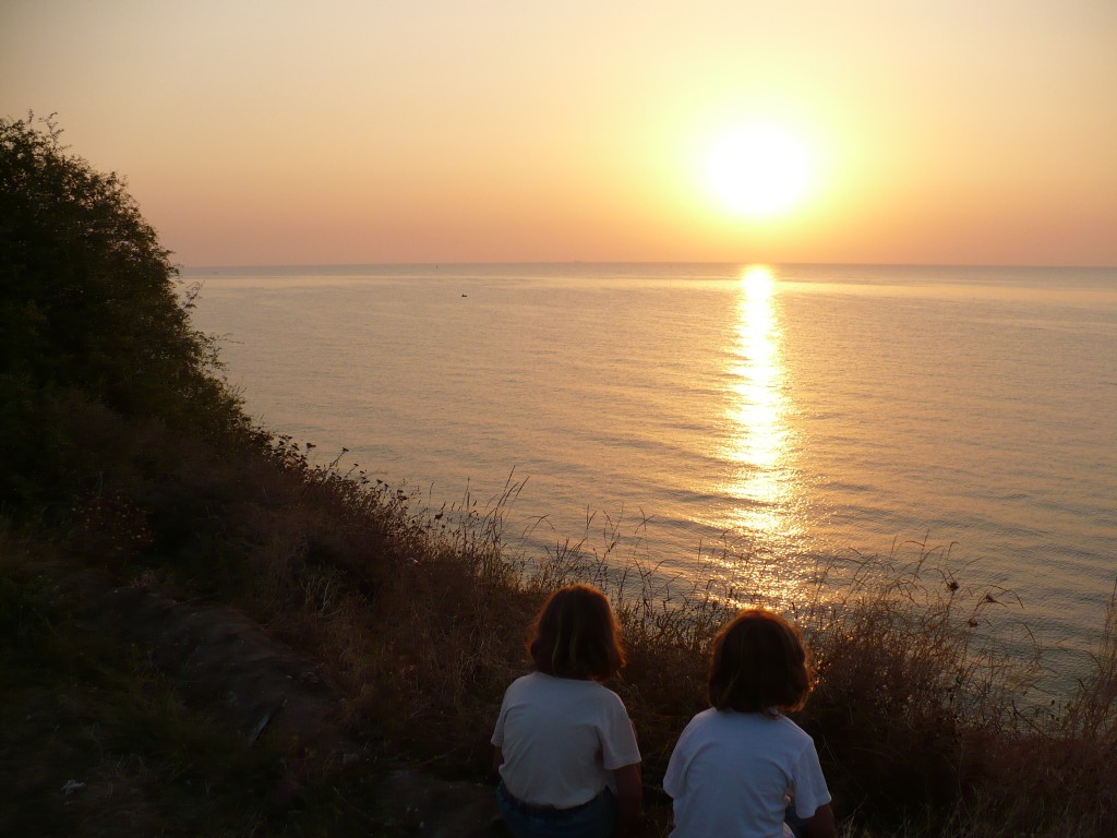
“Sunset on the Black Sea coast” by Gerrit de Rooij, distributed by the European Geosciences Union under a Creative Commons license.
In the context of human history, few bodies of water are as storied as the Black Sea, located at the juncture of Europe, Asia, and the Middle East. Countless cargo ships and frigates have sailed its waters, over 1,100 km in length from east to west, daunting enough that the Ancient Greeks believed its eastern shores (now Georgia) marked the edge of the known world.
However, perhaps the Black Sea’s most unique quality is that it is strictly meromictic; that is, its water column is divided into two separate layers that do not intermix, as they would in most other (holomictic) lakes. While the sea’s upper layer receives oxygen from the atmosphere, over 90% of its total volume is permanently anoxic, or heavily depleted of all oxygen.
The Black Sea’s stratification is enforced by its physical features, including by the topography of its basin, a vast, low-lying valley caused by the uplift of the Caucasus, Pontides, and Balkan mountain ranges after the collision of the Eurasian and African tectonic plates 5-12 million years ago. Many rivers also feed into the sea’s upper layers, keeping them generally cooler, less dense, and less salty than the deeper layer, which is fed by the warmer, saltier waters of the Mediterranean. Agricultural runoff in these rivers feeds phytoplankton, whose growth and decay keeps available oxygen at a premium.
EGU Hydrological Sciences Division President Gerrit de Rooij took this picture in August 2008 at the Romanian village of 2 Mai. He describes the moment of its capture, “It was during my holiday (the kids in the picture are my girls). There is not much geosciences in there, but with the sun, the atmosphere (visible through the scattered sunlight and the wind ripples on the water surface), the water, vegetation, and earth/soil all present, the link to hydrology and geosciences is straightforward. But I just made the photograph to capture the light of that morning and the light in the girls’ hair. With the elegant curve of the hill, the positioning of the horizon, and the sun just above it aligned with the hill crest to the left and one of the girls below, connected by the reflection band on the sea surface, I liked the geometric composition of the image.”
The anoxic zone of the Black Sea is of great interest to marine archaeologists because it is rife with well preserved shipwrecks, lacking the common wood-devouring microorganisms that inhabit most other oceans and seas around the world.
Imaggeo is the online open access geosciences image repository of the European Geosciences Union. Every geoscientist who is an amateur photographer (but also other people) can submit their images to this repository. Being open access, it can be used by scientists for their presentations or publications as well as by the press. If you submit your images to imaggeo, you retain full rights of use, since they are licenced and distributed by EGU under a Creative Commons licence.
