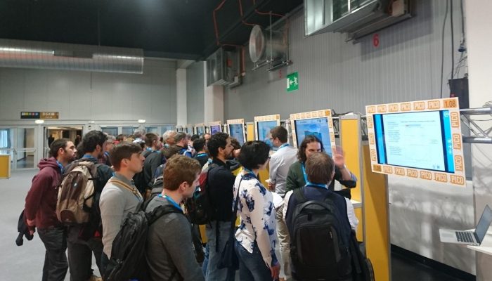
With the progress in the digital world there are more and more e-tools available for research and teaching. What are smart ways to make use of new techniques in teaching? For inspiration and learning, Hans de Bresser, Janos Urai and Neil Mancktelow convened a PICO session at the EGU 2017 General Assembly to showcase present-day e-learning opportunities to improve the efficiency and quality of teaching structural geology and tectonics. Despite an 8h30 morning slot and a limited number of abstracts, all spots during the 2 min madness were taken and all authors were talking the full 90 minutes – and some even well into the coffee break – about what they are using and how. Inspirational and fun!
Hans, you’re somewhat of an expert on teaching in Utrecht as former head of teaching in geosciences, how would you say that teaching has changed from back when you were a student?
”In my time as a student, I spent hours learning to identify rocks and recognizing minerals in thin sections, browsing back and forward in text books packed with determination tables and graphs of which more than half was not relevant for me. I also invested a lot of time in making maps in the field, carefully adding measurements and colors, hoping that I did it right the first time (never) and that I wouldn’t spill coffee over my precious products (it happened). And I sat in classes in which professors talked for hours, repeating the content of books that I had in front of me, while my level of activity in class was so low that preventing to fall asleep was a serious challenge. I really learned a lot, definitely had a lot of fun, but looking back I feel it could have been done more efficiently. New styles of teaching, such as blended learning and flipping the class room, and state-of-the-art e-tools for data collection, modelling and visualization now help us to be very efficient and improve the quality of teaching. And it can be fun”.
Broadly speaking the presented aids can be divided in the following 3 categories, for each category we give examples below.
1. How to bring the real and experimental world into the classroom?
2. How to make life easier for a teacher?
3. Can we add extra information using the virtual world?
Category 1: How to bring the real and experimental world into the classroom?
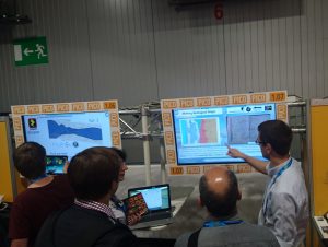
Benjamin Craven explaining his PICO: Fieldwork Skills in Virtual Worlds. Credit: Anne Pluymakers
Virtual landscape, presented by Benjamin Craven: a 3D model of a field area, to bring the real world in the classroom, and increasing the efficiency of real world field teaching. Different packages of open source software make it easy to design your own landscapes, though you can also make use of the already made world. One could also teach students photogrammetry, to enable them to make their own 3D models using photos made with a smart phone, of rocks or other items in the classroom. One idea is to ask students to create a geological map in the virtual “field”, but then to give each student only a limited amount of time to do so. This allows them to learn how to plan their time in mapping projects.
Drones and 3D models , presented by Thomas Blenkinsop. Using drones one can make 3D surface models, which can be combined with cross sections to create a 3D MOVE (TM Midland Valley) project. It starts with the regular manual work, but adding the digital models improves 3D thinking as well as it allows students to check their own cross sections.
Deforming ice with students, presented by Dave Prior. A low-cost ice deformation rig, designed to be used by student teams. It brings Dave’s own research into the class room. Through a questionnaire teams were designated by Dave to get the right mix of skills to eventually present a poster. Some results are of high enough quality to publish.
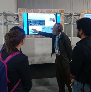
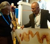
Thomans Blenkinsop explaning about using drones, Lidar measurements and 3D models for undergraduate teaching. Credit: Anne Pluymakers.
Category 2: How to make life easier for a teacher?
Jupyter notebooks, presented by Florian Wellmann: software for those who can’t program. It makes it easier to create exercises, and to allow students to play around with parameters. Automatic and manual exercise grading are both easy.
STEREOVIDEO, presented by Jose A. Alvarez-Gomez. This is a (currently Spanish only) channel with various Youtube video instructions on how to use stereonets. The channel will bring more subjects later. It is very popular in Latin America.
Category 3: Can we add extra information using the virtual world?
Zappar, presented by Friedrich Hawemann. Using an icon on a poster and a free download app one can add extra layers of information to images. It also recognizes objects such as a polished rock, allowing the teacher to add arrows, circles etc. to highlight features
By Anne Pluymakers (just a visitor) and Hans de Bresser (session convener)

