It is always an interesting period when the time comes around for me to write my blog for the SSP page. My research is predominantly in numerical modelling, which would be interesting if I was modelling awesome natural phenomena, but I don’t. I general assess the sensitivities of the numerical models to different sorts of uncertainty and whilst this is important work for understanding the outputs and how we should use them, it isn’t prime material for fun and interesting blogs.
My working day is generally spent looking at a pair of screens at a computer model or lines of code (or Tweetdeck…). Fortunately, at the Energy and Environment Institute, University of Hull, I am surrounded by colleagues who go to lots of exciting places. Through them I have vicariously travelled to places like the Mekong, the Blue Lagoon, and the Peruvian Andes. This is prime material for fun and interesting blogs! Recently, I caught up with my colleague Dr Steve Simmons to hear about his recent research trip to the Congo Canyon aboard the RRS James Cook*.
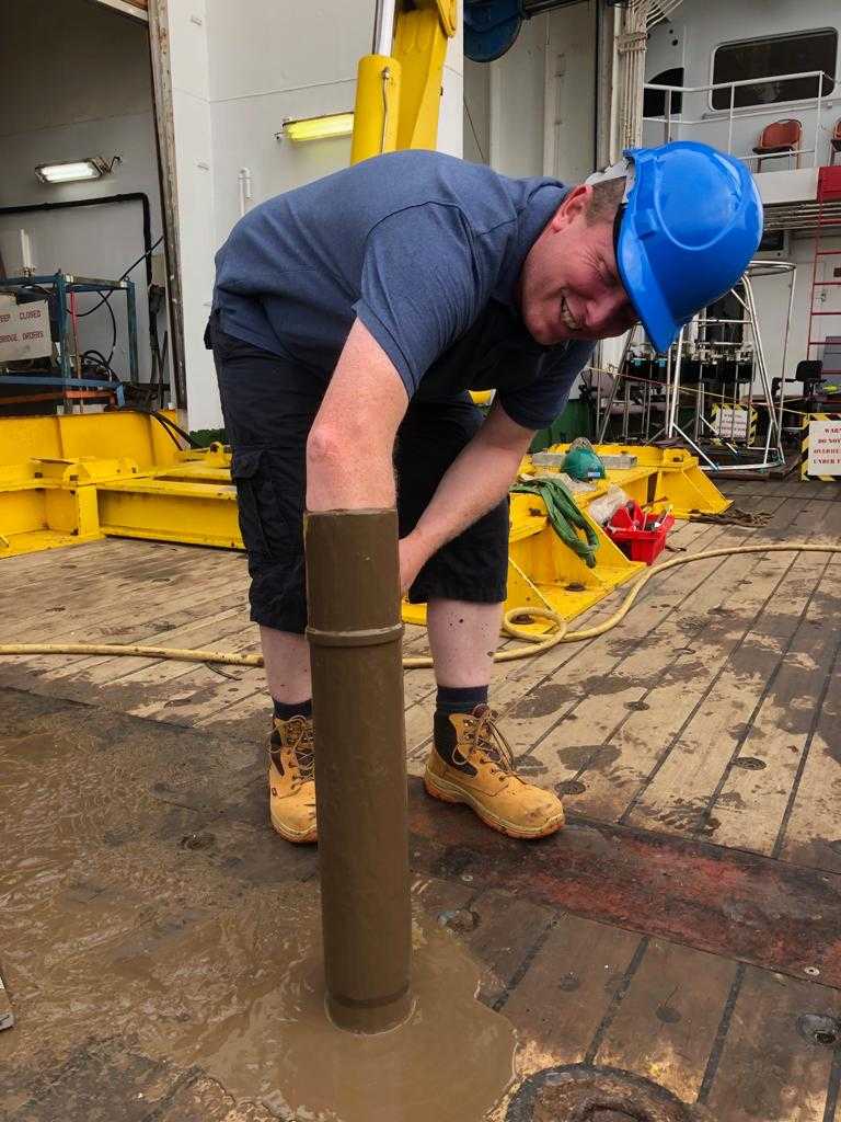
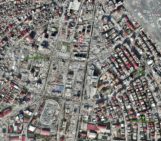
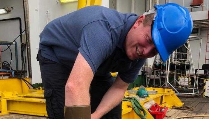
Dr Steve Simmons sampling some of the muddy sediments cored from the Congo Canyon
Where is the Congo Canyon and why is it important?
“The head of the Congo Canyon lies within the Congo River estuary and, where it is incised most deeply into the continental shelf, it has a similar cross-section to the Grand Canyon with a depth of 1 km and a width of 14 km from rim to rim. The canyon is hundreds of kilometres long and is important because it provides a conduit to the deep ocean for sediments, originating from the Congo River and coastal transport, that accumulate in the canyon head and are driven down the canyon by powerful, episodic flows known as turbidity currents. These flows generate some of the largest accumulations of sediment on the planet, yet we only have a handful of turbidity current measurements from systems across the globe. The Congo Canyon is thought to be one of the most active submarine channels on the planet and it is connected to the second largest river by discharge. We’d like to find out more about how it works and how active it is.”
What were you doing there?
“We were there to deploy flow monitoring instruments in the canyon channel, which will be retrieved and redeployed next year, but also to survey the canyon’s geomorphology and sample its sediment. Few field measurements that have been obtained from multiple sites along a submarine channel exist – we need this information to understand how flows evolve as they progress down the system. This project is the most ambitious in scale to be undertaken so far, with moorings deployed in water depths of up to 5,000 m. Further instruments were deployed to monitor acoustic and seismic signals with the aim of using this information to trigger networks of recording instruments when telltale signatures of flows are picked up. Multibeam surveys are providing detailed maps of the canyon geomorphology and sediment cores are providing descriptions of sediment deposition sequences and samples of micro-plastics and organic carbon transported by the flows.”
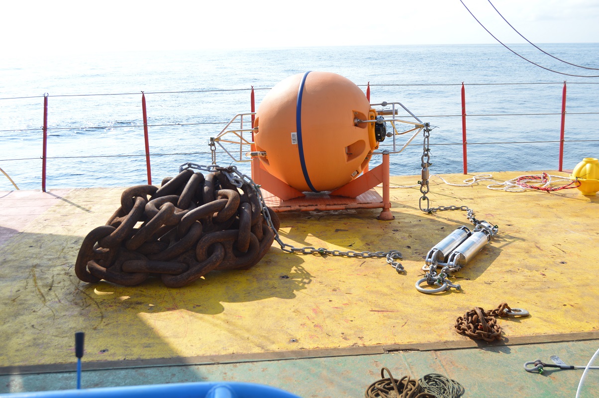
One of the buoys deployed to monitor flows in the Congo Canyon
How did you get there and how long were you out for?
“The James Cook was loaded with the kit in Southampton, but the science crew joined in Cape Verde for the 10 day transit to the canyon. We spent around three weeks doing the science before transiting to Walvis Bay, Namibia, for disembarkation after six weeks at sea.”
Did anything go wrong?
“Nothing really went wrong, but I guess we’ll find out if we deployed the instruments correctly when we retrieve them next year. However, we know that two of the instrument buoys have broken loose from their anchors and floated to the surface not long after deployment, probably as the result of a powerful flow event. We hope that they can be retrieved and that the remaining moorings are still in one piece with their instruments functioning!”
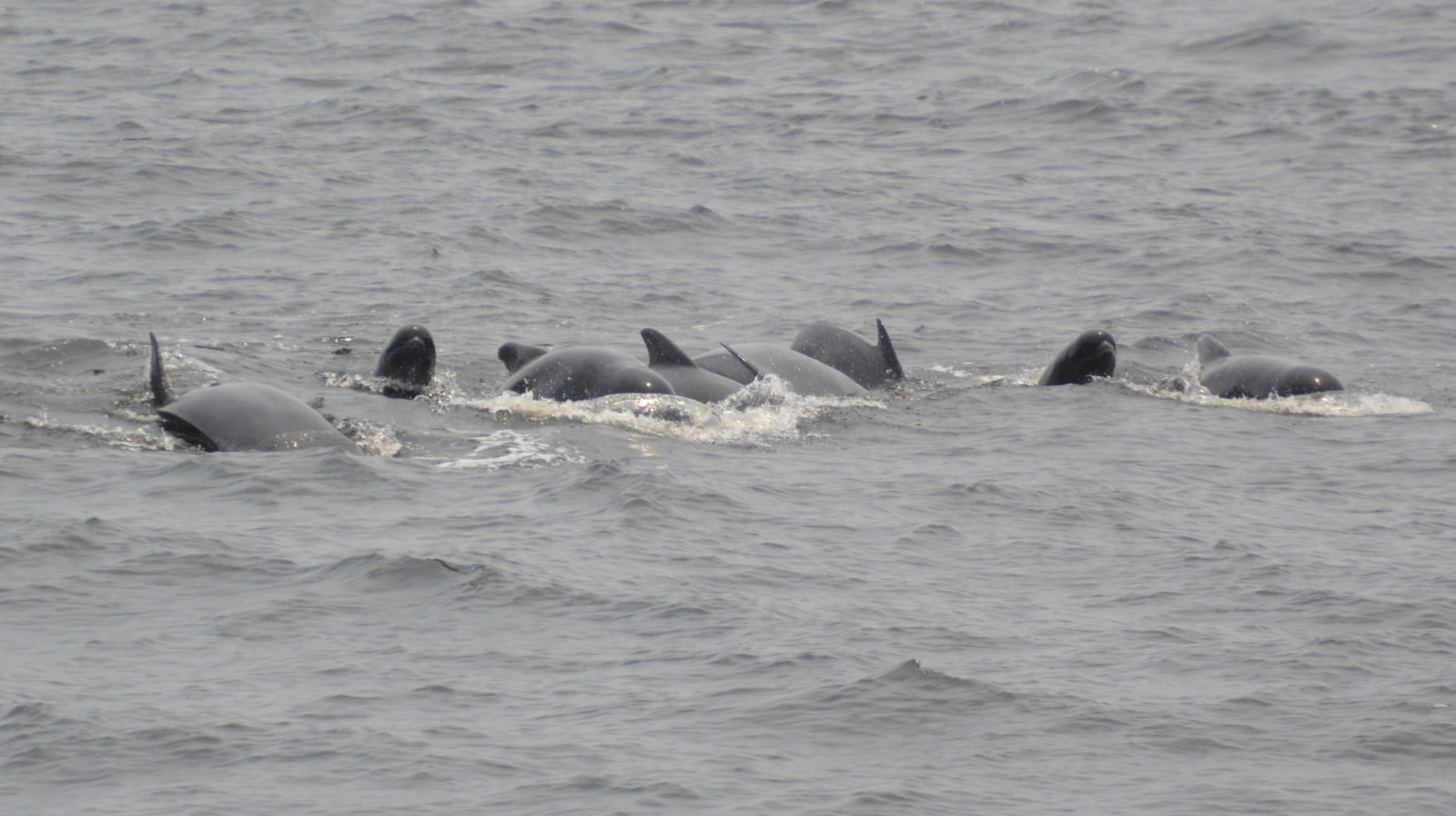

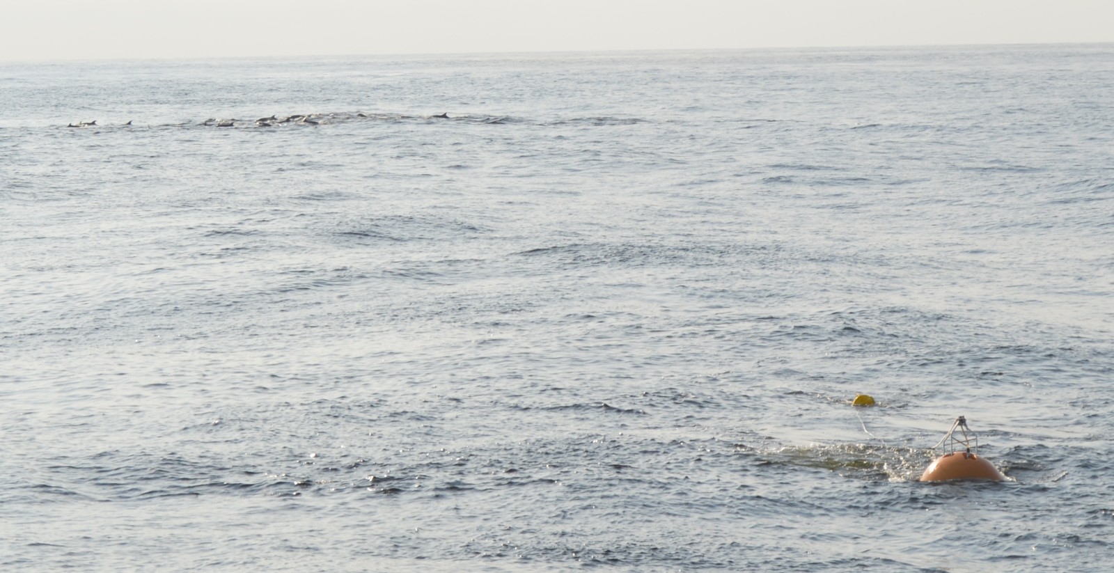
Far from land there was little to see other than a pod of pilot whales
What was life like on the boat?
“Having previously worked on data from the canyon it was good to get a better feel for the system by seeing the multibeam data come in and getting to see and feel the sediments from the cores. There was little to see on the cruise as we were well away from land for the majority of the time, but some pilot whale pods took an interest in the boat and provided some entertainment by coming to visit for a few days. From my point of view, as an ADCP [Acoustic Doppler Current Profiler ] specialist, the recovery cruises are the ones that I eagerly anticipate as that is when we will hopefully get our hands on some exciting new data. The main downside for me was the long period of time spent away from my family.”
What will be the major science outputs from the project?
“The new bathymetry map is already showing substantial changes in canyon geomorphology. A significant meander cut-off has occurred since an earlier survey and this has generated a large knickpoint in the channel profile. From previous monitoring data at a single location we know that the Congo flows are quite different to those observed elsewhere in the world. The larger flows form a steady flow state that can persist for around a week. We hope to determine the process by which this occurs and quantify the flux of sediment, organics and micro-plastics that are being transported for burial in the deep-sea fan.”
Thank you Steve for the great insights into the trip and a glimpse of the science outputs to come. I’m looking forward to hearing more from you and the team at the EGU General Assembly in April 2020.
*Projects –
How do deep-ocean turbidity currents behave that form the largest sediment accumulations on Earth? (NE/R001952/1, NE/R001960/1)
Developing a Global Listening Network for Turbidity Currents and Seafloor Processes (NE/S010068/1)