
Fatiando a Terra: a journey into open-source software for Geophysics

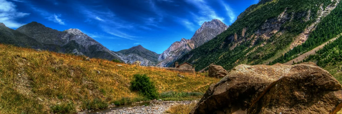
This blog post is part of our series: “A day in the life of a geomorphologist” for which we’re accepting contributions! Please contact one of the GM blog editors, Emily or Emma, if you’d like to contribute on this topic, or others. post by John Hillier, Reader in Natural Hazard Risks, Loughborough University (UK) j.hillier@lboro.ac.uk …[Read More]
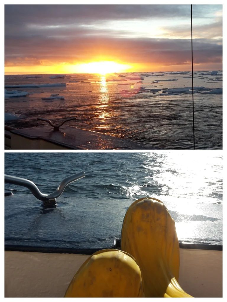
The cryosphere blog is taking a summer break but not without first providing you with your beach/airplane/train/fieldwork/balcony summer reading list to make you miss us a tiny bit less. Continue reading this post to explore some summer inspiration. Like a lot of northern countries who take long summer breaks to enjoy the long hours of …[Read More]
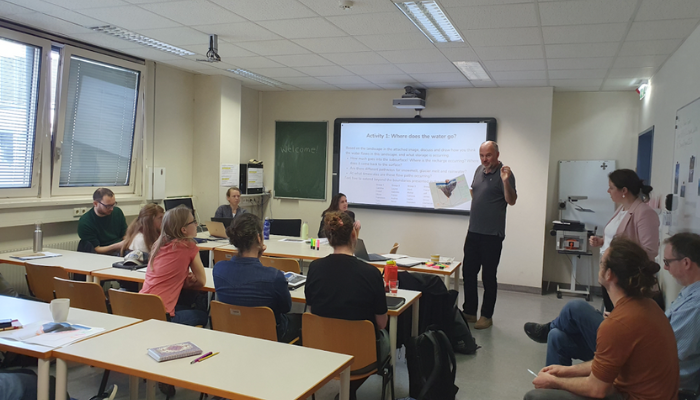
Despite the importance of mountains for downstream water supply, there are large gaps in our scientific understanding of how snow and ice meltwater travels through the landscape, specifically which flowpaths meltwater takes below the surface. Plus, existing knowledge is scattered throughout various sub-disciplines of mountain hydrology: glaciology, snow science, hydrogeology, and surface hydrology. That is …[Read More]
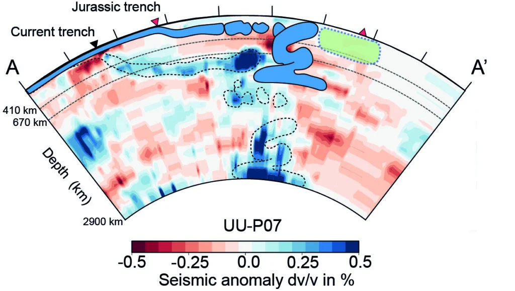

If you want to be a blog editor about natural hazards… This post is for you! The EGU Natural Hazards Division Blog Editorial Team is looking for new motivated blog editors to join our interdisciplinary and inclusive team. Now you are wondering why you should join us. There are plenty of good reasons, indeed. In …[Read More]
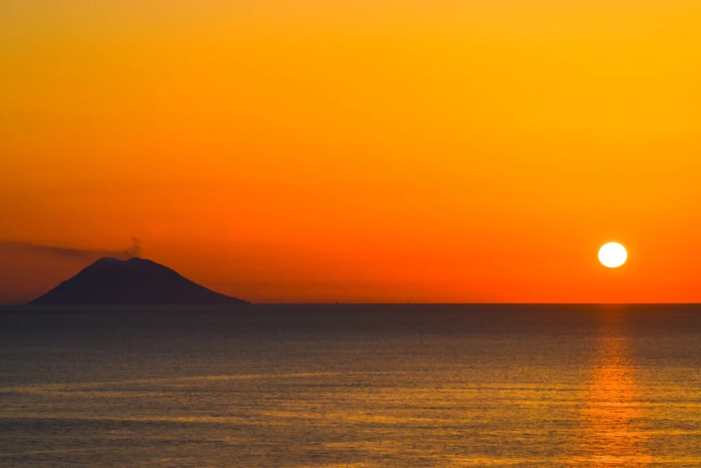
Summer time can be stressful – you have plenty of things to do at work but at the same time you’re thinking about your next vacation all the time. This is at least how I was feeling, combined with some curiosity, I asked chatGPT to write a blog post about vacation destinations for geologist around …[Read More]
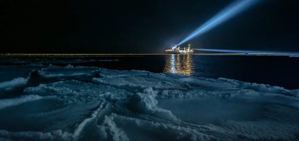
Light emissions are increasing worldwide and much of the world is light polluted due to excessive and inefficient light use. This has negative consequences for many organisms, such as birds, insects, fish, plants and humans. Even in the high Arctic, which is remote and sparsely populated, and experiences the polar night for a large part …[Read More]
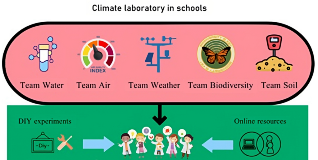
Put a Climate lab in school and make it better “The car will not go through this road”, the driver replied. Well, the path, which he was mentioning was a mudslide made up of clay soil, completely wet from the rain the previous day. We were traveling to a small village in Sundarban to establish …[Read More]
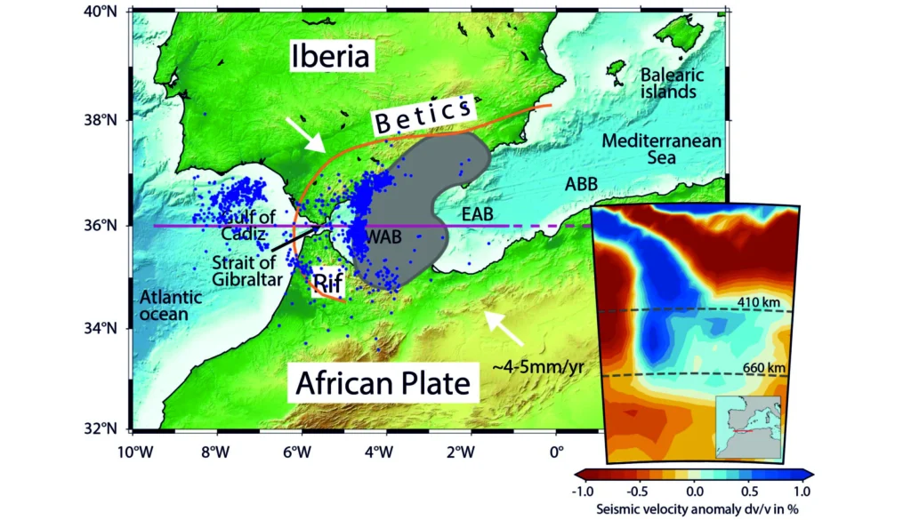
Figure 1. Topography of the Gibraltar Arc region. The shaded area indicates the position of positive seismic velocity anomaly supposedly representing the position of the slab at 270 km depth from seismic tomography (Amaru, 2007). The purple line shows the position of the modelled cross-section for the model shown in this blog. Blue dots indicate …[Read More]