Tinted detail of a photo: Road broken into slabs and buckled chunks of asphalt amid heaped soil, with a bent crash barrier and damaged buildings beside it, leading to a roundabout under a hazy setting sun.
NH
Natural Hazards

Natural hazard division

The dam upstream: why flood warnings fail the White Volta Basin and what we can do about it
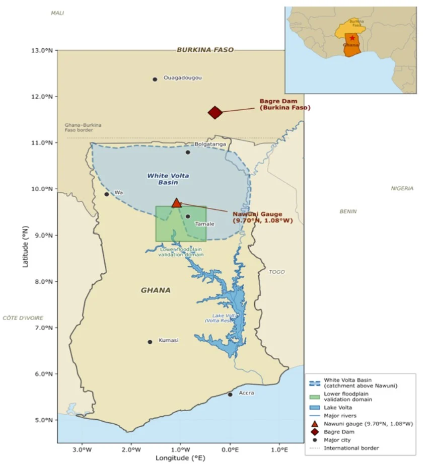
Map of Ghana and Burkina Faso showing the White Volta Basin in light blue, a green validation domain, and the locations of a dam and a gauge. An inset map shows the region's location in West Africa.

On 25 August 2025, SONABEL – Burkina Faso’s national utility – began releasing water from the Bagre Dam two days ahead of schedule. The reservoir had reached 90% of its capacity, just 0.73 metres below its maximum retention limit [9]. The Water Resources Commission and the National Disaster Management Organization (NADMO) in Ghana issued immediate …[Read More]

Multi-Risk Forecasting: Operational Reality or Scientific Ambition?

Reflections from a workshop on multi-risk impact-based forecasting and warning systems for weather-related hazards.

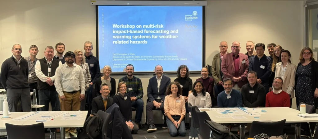
  Reflections from a workshop on multi-risk impact-based forecasting and warning systems for weather-related hazards.   With mounting evidence that hazards rarely occur in isolation, the question is no longer whether multi-risk impact-based forecasting and warning systems are needed, but how to build them [1]. Yet, moving beyond single-hazard thinking towards genuinely multi-hazard and then …[Read More]